EXPLAINERS · AUG 8
Why the Wind Blows
Wind explained from the ground up: how pressure differences start it, how the Coriolis force bends it, how friction drags it into a spiral, and why that spiral is the reason low pressure means clouds and high pressure means a nice day.

Grounded in National Weather Service definitions; suitable for classrooms and other curious humans.
Wind is air moving from higher pressure toward lower pressure. Three forces decide what it actually does: the pressure gradient force pushes it, the Coriolis force bends it right in the Northern Hemisphere and left in the Southern, and friction with the ground drags on it. Push and bend alone would send the wind running parallel to the isobars forever. Friction is what makes air spiral into lows, which forces that air to rise, which is the whole reason a low on the map means clouds.
The push
Air has weight, and it does not press down equally everywhere. Where it presses harder you have high pressure. Where it presses less you have low. Air moves from the one to the other for the same reason a full sink drains: a difference exists, and nature has no sentimental attachment to keeping it.
On a weather map that difference is drawn as , lines along which the pressure is the same. NOAA states the rule plainly: the closer the isobars are drawn together, the quicker the air pressure changes, and the speed of the wind is directly proportional to that . Isobars jammed tight mean a windy day. You can read a map's wind before you read a single number on it.
The bend
If the push were the only force, wind would run straight from every high to every low, and the weather would be much simpler and considerably worse. It does not, because the Earth is turning underneath it. The Coriolis force, named for Gustav-Gaspard Coriolis, the French scientist who described it mathematically in 1835, deflects moving air to the right in the Northern Hemisphere and to the left in the Southern Hemisphere.
Seen from space the air travels in a straight line. Seen from the ground, which is where you live and where the rock sits, the path is curved, because the ground rotated while the air was in transit. Nothing pushed it sideways. The floor moved.
Push and bend together settle into a truce. The combination causes the wind to blow parallel to straight isobars with high pressure on its right in the Northern Hemisphere. Turn that around and you have a rule you can use standing in a parking lot: put your back to the wind, and in the Northern Hemisphere the low pressure is off to your left.
The drag
Then the ground gets involved. The surface of the Earth is rough, and friction does two things at once: it slows the wind down, and it breaks the truce. A slower wind gets bent less, so the push wins by a margin, and the air stops running parallel to the isobars and starts cutting across them. NOAA credits friction directly with causing the diverging winds around highs and the converging winds near lows.
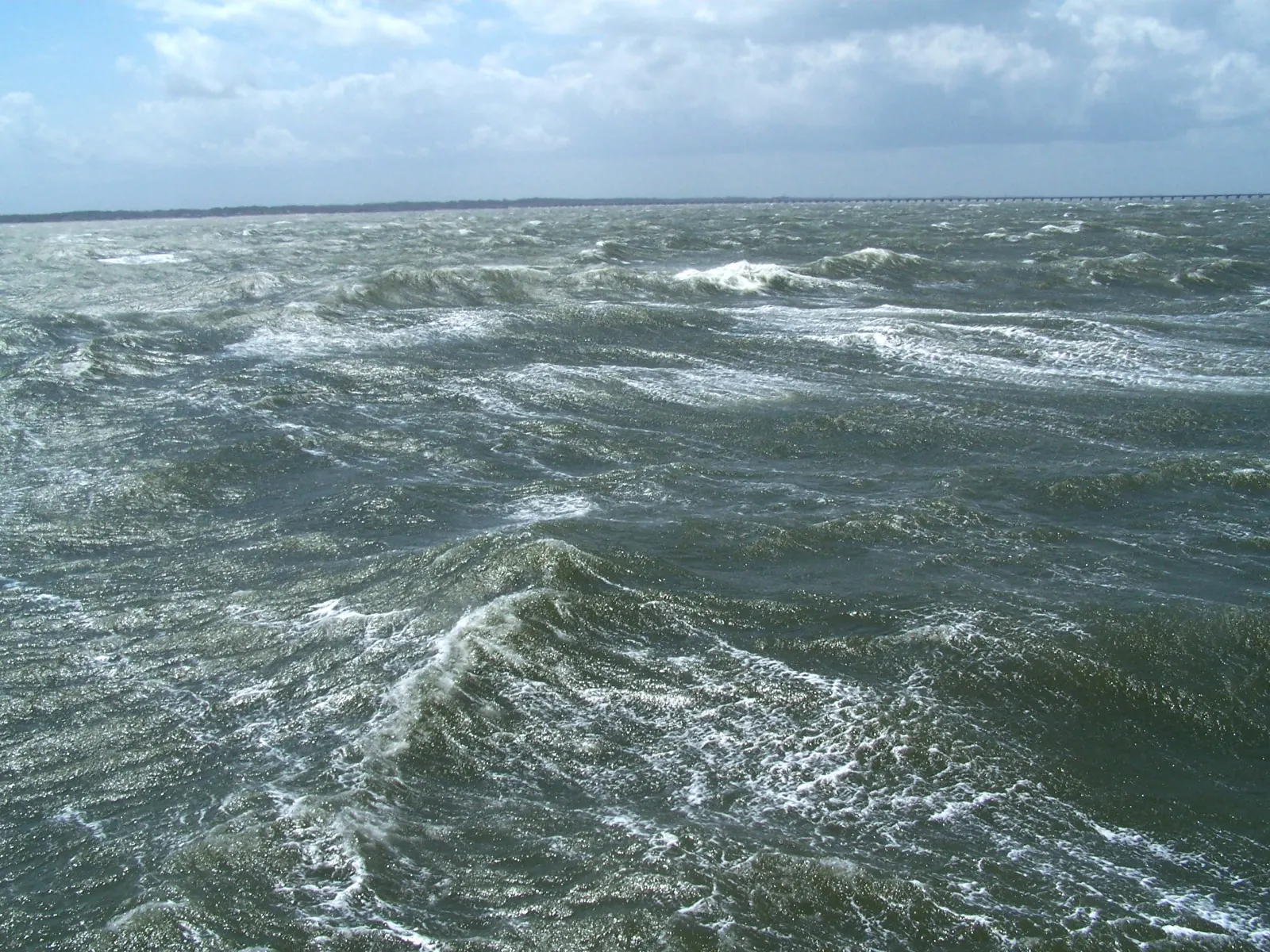
Rough ground drags harder than smooth water, so the same pressure pattern does not produce the same wind at a shoreline that it produces over a forest. Friction is also why the wind usually calms after sunset and picks up again mid morning: the air near the ground stops mixing with the faster air above it overnight, and starts again once the sun stirs the pot.
Why lows are cloudy and highs are not
Follow the spiralling air and the rest of the forecast falls out of it.
Into a low, air converges. It cannot pile up, because mass cannot be created or destroyed in a given area, so it has to go somewhere, and the only direction left is up. Rising air cools. When air cools, , and it is the moment a cloud becomes visible.">condensation begins to exceed evaporation, the invisible vapor turns into cloud, and the cloud eventually turns into precipitation. That is why inclement weather keeps company with low pressure.
Around a high, surface air spreads outward, and air from above sinks to replace it. Sinking air warms. Warming air evaporates its own clouds. That is the kind of afternoon nobody writes a lesson about, and the rock enjoys it enormously.
The small wind: a coastline arguing with itself
Not all wind starts with a continental pressure map. The sun's rays penetrate deep into water, spreading the heating through a large volume, but on land they are confined to the top few inches of soil. So land heats faster and cools faster than water does, and by afternoon the air over land is warmer and less dense, forming a weak low that NOAA calls a thermal low. Cooler, denser air over the water is pulled down by gravity and spreads inland underneath it. That is a sea breeze.
The leading edge is called a sea breeze and it behaves like a small . Its dense air wedges under the warm air ahead and shoves it up fast, so its weather is short and sharp, followed by clearing skies and drier air.">cold front: NOAA notes the temperature can drop as much as 15 to 20 F (8 to 11 C) once it passes, with a shift in wind and a jump in humidity to match. It happens at any large body of water, the Great Lakes included, which is why a lakefront can be twenty degrees cooler than a town ten miles inland on the same afternoon.
One last thing, about names
Wind is named for where it comes from, never for where it is going. A west wind at 15 mph is arriving from the west, not heading toward it. This trips up nearly everybody once. The rock recommends getting it wrong early, and in private.
If you want the numbers that go with the direction, the sustained wind and the gust are two different measurements doing two different jobs.
Words in this lesson
Every marked word above is here in full, because a definition that only appears on hover is no use to somebody reading on a phone, printing the page, or listening to it.
- Air mass
- A huge body of air, hundreds of miles across, that has sat in one place long enough to take on that place's temperature and moisture. Most day to day weather is the story of air masses shoving each other around.
- Cold front
- The leading edge of an advancing cold air mass. Its dense air wedges under the warm air ahead and shoves it up fast, so its weather is short and sharp, followed by clearing skies and drier air.
- Condensation
- Water vapour turning back into liquid droplets. It happens when air cools to its dew point, and it is the moment a cloud becomes visible.
- Dew point
- The temperature air must cool to before its moisture starts condensing. It is an absolute measure of how much water the air holds, which is why it beats relative humidity for judging how a day will feel.
- Front
- The boundary where two air masses of different temperature and moisture meet. Air gets lifted along a front, which is why most of a map's clouds and rain queue up on one.
- Isobar
- A line on a weather map joining places at equal air pressure. The closer isobars are drawn together, the stronger the wind between them.
- Pressure gradient
- How sharply air pressure changes across a distance. A steep gradient means a strong wind, which is why closely spaced lines on a pressure map mean it is blowing hard.
This is a Working lesson
It belongs to the Weather School, which is free and always will be: twenty lessons from toddler to adult, every one with a printable worksheet and answer key that any classroom may copy. No account, no cost, no catch.
Another one at this level: jet stream.
For teachers and every lesson.
Definitions in this explainer follow the National Weather Service. The rock checked twice. The rock always checks twice.