THE WEATHER BEAT · SEP 21
The week's first coastal flood headlines went out at 1:24 this afternoon, for a low that has not formed
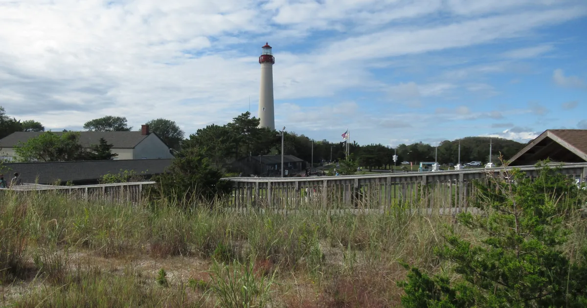
Six offices now hold gale watches from Nantucket to Cape Hatteras, and Mount Holly issued the first coastal flood advisory and watch at 1:24 p.m. EDT.

Key points
- NWS Mount Holly issued the first coastal flood headlines of the week at 1:24 p.m. EDT today: a Coastal Flood Advisory for Tuesday evening's high tide in southern New Jersey and Delaware, and a Coastal Flood Watch for Wednesday afternoon through late Thursday night.
- Six weather offices now hold gale watches, covering water from Nantucket, Massachusetts down to Cape Hatteras, North Carolina, and inside the Chesapeake, Delaware Bay and Albemarle Sound.
- The low all of this is for does not exist yet. The Mount Holly discussion at 2:04 p.m. EDT says a closed mid-level low leaving the Ohio Valley should spin up a surface low off the Eastern Seaboard in midweek, and calls it deep and intense.
A forecast became paperwork this afternoon
Before dawn this morning, four weather offices posted gale watches for the middle of this week, and that was the whole of it. There was not a single coastal flood product active anywhere in the country at 12Z. The water was a forecaster's expectation and nothing more.
At 1:24 this afternoon the Mount Holly office wrote the first of it down. Its own discussion, issued forty minutes later, puts the change in one sentence: "Coastal Flood headlines have been issued. A Coastal Flood Advisory is in effect for tomorrow evening's high tide for coastal counties south of Barnegat Inlet and for Kent County, DE. For those same areas, a Coastal Flood Watch is now in effect for Wednesday and Thursday evening's high tide as Moderate tidal flooding is possible."
The numbers are small, which is the point of them. Tuesday evening, between 4 and 10 p.m. EDT, the advisory expects up to a foot of water above ground level in low-lying places near shorelines and tidal waterways, and up to half a foot on the ocean-facing zones of Cape May, Atlantic and Ocean counties. Wednesday afternoon through late Thursday night, the watch says one to two feet is possible. At that level the product says what happens: widespread roadway flooding in coastal and bayside communities and along inland tidal waterways, many roads impassable, and some damage to vulnerable structures beginning to occur. The advisory also notes that moderate tidal flooding could continue through at least Friday evening's high tide or perhaps longer.
Mount Holly does not think it is finished issuing products. Its third key message reads: "Multiple rounds of potentially significant tidal flooding expected for this week. The first batch of Coastal Flood headlines have been issued with more likely to come."
The coastal flood headlines, NWS Mount Holly NJ
| Product | When | Inundation above ground level | Where |
|---|---|---|---|
| Coastal Flood Advisory | 4 p.m. to 10 p.m. EDT Tuesday | up to one foot expected | Delaware Beaches; Kent and Inland Sussex, DE; Ocean, Atlantic, Cape May, Southeastern Burlington, NJ |
| Coastal Flood Advisory | 4 p.m. to 10 p.m. EDT Tuesday | up to one half foot expected | Atlantic Coastal Cape May, Coastal Atlantic, Coastal Ocean |
| Coastal Flood Watch | Wednesday afternoon through late Thursday night | one to two feet possible | all of the above |
| High Rip Current Risk | Tuesday morning through Tuesday evening | dangerous rip currents expected | Delaware Beaches, Atlantic Coastal Cape May, Coastal Atlantic, Coastal Ocean |
All from the products sent by NWS Mount Holly NJ at 1:24 p.m. EDT on 2026-09-21.
The water offshore, from Nantucket to Hatteras
The marine half of the forecast grew all afternoon. Boston and Norton had watches out at 3:09 a.m. EDT. Wakefield followed at 1:04 p.m., Mount Holly at 1:39, Newport and Morehead City at 1:58, Baltimore and Washington at 2:06, Upton at 2:19. Six offices, twenty six gale watches, all of them for the same three days, and the biggest seas are off North Carolina.
Inside the bays the wind matters more than the waves. The Baltimore and Washington office put a watch on the Chesapeake from Drum Point to Smith Point and on the Tidal Potomac, the Choptank up to Cambridge and the Patuxent. Wakefield put one on the stretch of the Chesapeake that includes the Chesapeake Bay Bridge Tunnel, where gusts to 45 knots and waves of 5 to 8 feet are possible from early Wednesday. Northeast wind blowing up a bay for three days is how you get tidal flooding without a drop of rain falling on the shore.
Gale watches, the worst seas in each office's product
| Office | Waters | Wind and gusts possible | Seas possible | When |
|---|---|---|---|---|
| Newport/Morehead City NC | Oregon Inlet to Cape Hatteras, 20 to 60 NM | NE 25 to 35 kt, gusts 40 kt | 14 to 19 ft | Wednesday evening through Friday morning |
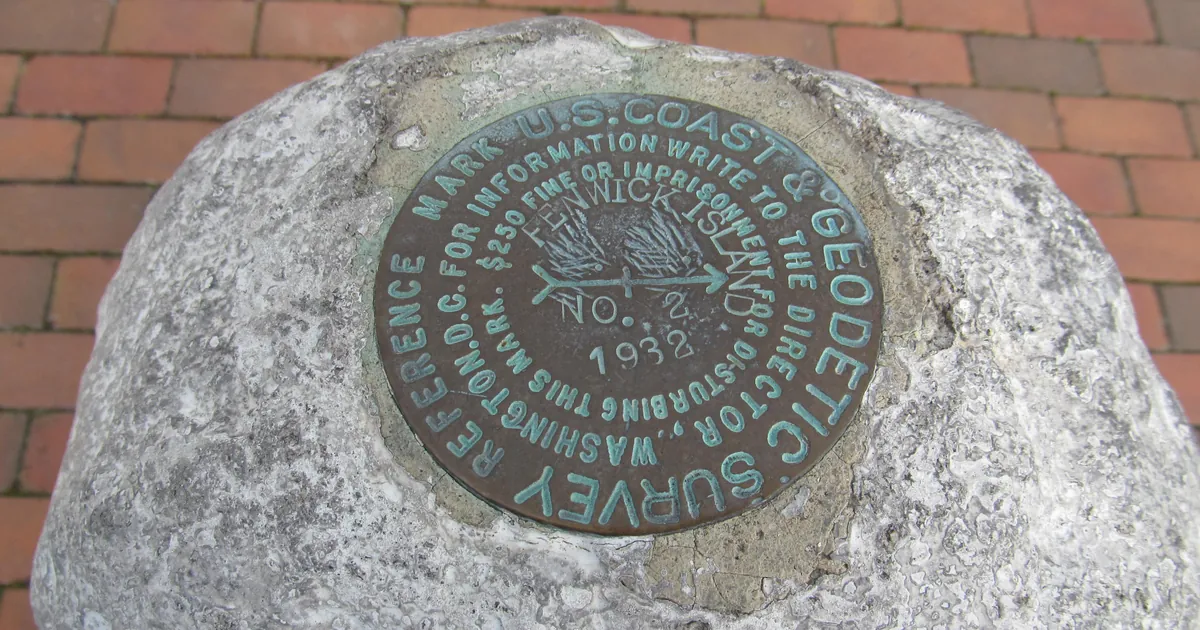
| Wakefield VA | Fenwick Island DE to Parramore Island VA, 20 to 60 NM | NE 25 to 35 kt, gusts 45 kt | 12 to 17 ft | Tuesday evening through Friday morning |
| Mount Holly NJ | Sandy Hook to Cape May NJ, 20 to 60 NM | NE 25 to 35 kt, gusts 40 kt | 11 to 16 ft | Tuesday evening through Thursday afternoon |
| Upton NY | Sandy Hook NJ to Montauk Point NY, 20 to 60 NM | NE 25 to 35 kt, gusts 40 kt | 11 to 16 ft | Tuesday evening through Thursday afternoon |
| Boston/Norton MA | Montauk NY to Martha's Vineyard and Nantucket, 25 to 60 NM | NE 25 to 35 kt, gusts 40 kt | 10 to 15 ft | Tuesday afternoon through Thursday afternoon |
| Baltimore/Washington | Chesapeake Bay, Drum Point to Smith Point | NE 20 to 25 kt, gusts 40 kt | waves 3 to 6 ft | Wednesday morning through Thursday evening |
From the gale watches carried on the National Weather Service active alerts feed at 18:19Z on 2026-09-21, twenty six in all across six offices. The same wire run listed 219 small craft advisories nationally.
The office expecting the most water has not written its product yet
The strongest language today came from Wakefield, Virginia, and it is not in a warning. It is in the discussion the office issued at 1:58 p.m. EDT, whose third key message reads: "Widespread moderate to locally major tidal flooding (inundation of 2-3 feet AGL in vulnerable areas) is likely by the Wednesday afternoon/evening high tide due to strong northeast winds. Tidal flooding is expected to continue for several tide cycles (potentially through the end of the work week) given the persistent northeast winds."
That is two to three feet, said as likely, for an area that had no coastal flood product on the wire as of this afternoon's check. Every active coastal flood headline in the country right now came out of one office, Mount Holly. Wakefield's own summary of what changed today lists small craft advisories and gale watches, and a cooler Wednesday as cold air damming sets up. The tidal flooding is in the reasoning, not yet in a product. That is normal, and it is also the most useful thing a reader on the Eastern Shore can know today, because it says what tomorrow's paperwork is likely to look like.
Mount Holly's forecasters add a plainer note for everyone inland: temperatures will likely struggle to get out of the 60s areawide through most of this week.
The rest of the country, briefly
The Storm Prediction Center's day one outlook tops out at Marginal, for isolated damaging wind gusts from parts of the Southeast into the southern and central Appalachians, and an isolated risk of large hail and severe gusts over parts of the Texas South Plains. Five offices had frost advisories out and one had a freeze warning, which is its own kind of news in late September. Three named tropical storms were on the National Hurricane Center's list this afternoon, Fay in the Atlantic and Odalys and Polo in the eastern Pacific, none of them with a watch or warning on United States soil.
And Wednesday is a crowded day. The Beat wrote on Sunday about six Mississippi River gauges in Missouri whose flood warnings begin then, from rain that fell on Iowa last week. A river in the middle of the country and an ocean on the edge of it are both scheduled to arrive at about the same time, for reasons that have nothing to do with each other.
This is a summary of official warnings, not emergency information. For live warnings see weather.gov and your local officials. The offices named here are at https://www.weather.gov/phi/, https://www.weather.gov/akq/, https://www.weather.gov/okx/, https://www.weather.gov/box/, https://www.weather.gov/lwx/ and https://www.weather.gov/mhx/.
The rock's live forecast for the places in this story
More from the Journal



Follow the Journal: RSS · get it by email