THE WEATHER BEAT · SEP 22
The gale watches became warnings at dawn, and the low they were written for forms today
Six East Coast offices upgraded gale watches to gale warnings before 7 this morning, for a low their forecasters expect to form off the Carolinas today.

Key points
- Six National Weather Service offices from Morehead City, North Carolina to Boston upgraded yesterday's gale watches to gale warnings before 7 o'clock this morning, for a coastal low their forecasters expect to form off the Carolinas today.
- Coastal flood advisories are in effect along the Virginia and Delaware coasts for tonight's high tides, with up to a foot of water expected above ground level in low places, and watches carry one to three feet as possible Wednesday and Thursday.
- The first land product of the week went out at 2:51 this morning: a wind advisory for the New Jersey and Delaware beach strip for Wednesday, northeast at 25 to 35 miles an hour with gusts near 45.
Yesterday
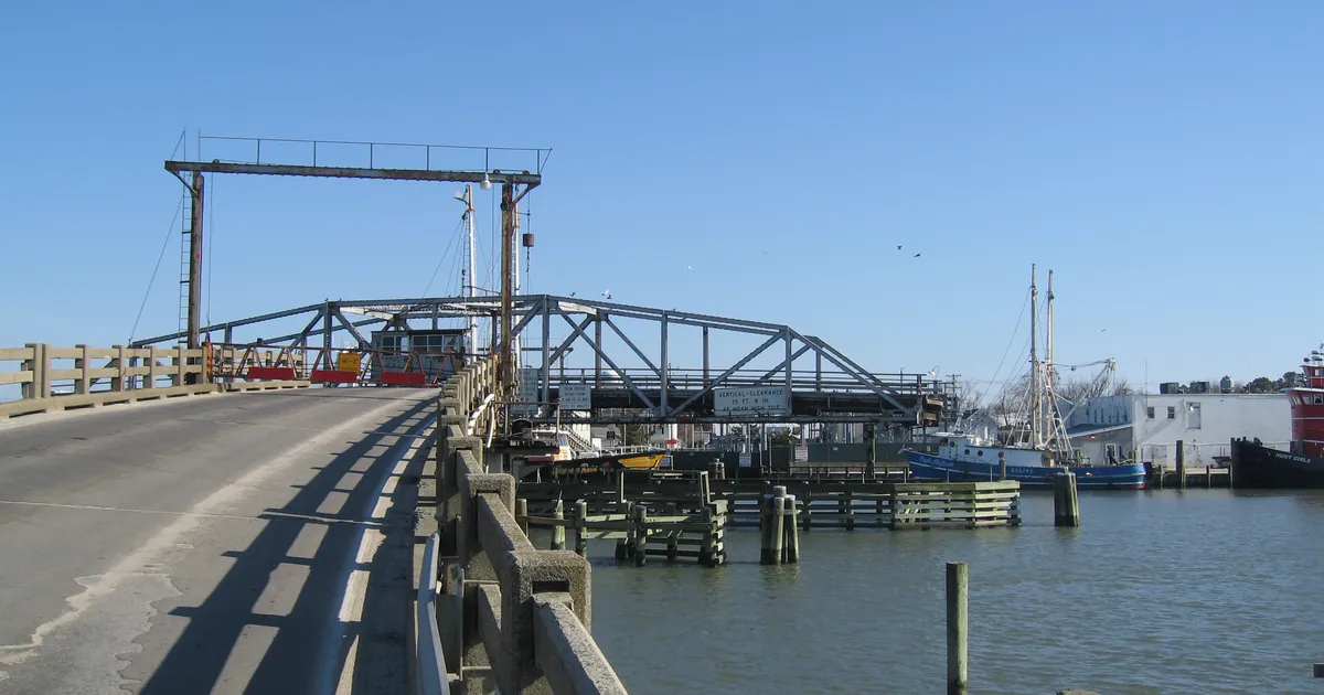
The front that came through the mid-Atlantic on Sunday night stalled and sat. In the Carolinas it gave the kind of rain that falls all at once in one place and nowhere else: the Wakefield office wrote this morning that a couple of efficient storms along the Virginia and North Carolina border last evening dropped two to three inches in a short period, enough to lift the Cashie River at Windsor more than a foot. That is the whole of yesterday's damage report as the products tell it. The Storm Prediction Center's page of preliminary reports would normally settle the rest, and it refused our request again today, the seventh morning running, so this brief cannot say what was reported elsewhere.
Further south the same stalled boundary was still working this morning. NWS Peachtree City issued two flash flood warnings in the north Georgia mountains before 6:31 a.m. EDT, one for Gilmer, Gordon and Murray counties and one for Dawson, Fannin, Gilmer and Pickens, both written to run out around midday.
Today, officially
The story of this week is a low that did not exist when we wrote about it yesterday. Yesterday it was a forecast inside four marine watches. This morning three offices independently wrote down that it is coming.
NWS Mount Holly put it plainly at 7:17 a.m. EDT: gale watches upgraded to gale warnings for all coastal waters, and a wind advisory issued for Atlantic coastal New Jersey and Delaware. NWS Newport and Morehead City, whose discussion went out at 3:30 a.m. EDT, had converted its watches to warnings too and started the headlines six to twelve hours earlier than planned because the wind is now expected sooner. NWS Wakefield at 6:31 a.m. EDT listed gale warnings, high surf advisories and what it called ramp-up coastal flood advisories. Morehead City's forecasters expect a low below 1000 millibars to deepen offshore tonight into Wednesday, and they expect it to be slow. Their own words for it: the low will meander about off the mid-Atlantic coast through late in the week, which is why the wind lasts for days rather than hours.
At 11:42 this morning there were 34 gale warnings active in the country. Thirty-three of them were on the East Coast, spread across Wakefield, Boston, Morehead City, Mount Holly, Upton and Baltimore. The thirty-fourth was off northern California. Yesterday morning every active gale warning in the United States was in Alaska.
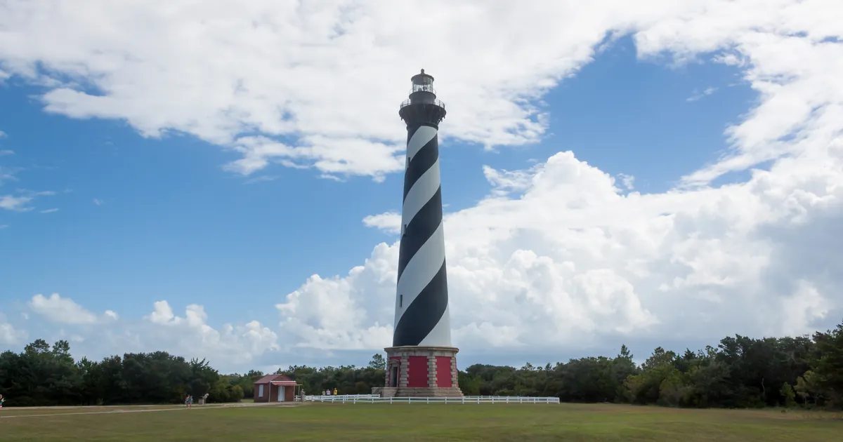
On land it arrives as water in the usual low places first. Wakefield's 6:28 a.m. EDT package puts coastal flood advisories on Norfolk, Portsmouth, Chesapeake, Suffolk, Hampton, Poquoson and Virginia Beach from four this afternoon, on the Northern Neck from ten this morning, and on the Maryland beaches, Accomack and Northampton from four, all of them for up to one foot of inundation above ground level. Mount Holly's 4:42 a.m. EDT advisory covers the Delaware beaches and the Ocean, Atlantic and Cape May county coasts from four this afternoon to ten tonight, the same one foot. The bigger numbers sit in the watches behind them, for Wednesday and Thursday: one to three feet possible around Hampton Roads and the tidal rivers, two to three feet possible at Virginia Beach and across Surry, James City, Newport News and Isle of Wight. Morehead City issued its own watch at 4 a.m. EDT for the northern Outer Banks, Hatteras Island and Ocracoke Island, two to three feet possible from Wednesday afternoon through Friday evening.
Wakefield's third key message this morning is the one sentence that says what the office actually thinks is going to happen, and it is worth reading whole: "Widespread moderate to locally major tidal flooding (inundation of 2-3 feet AGL in vulnerable areas) is likely by the Wednesday afternoon/evening high tide due to strong northeast winds. Tidal flooding is expected to continue for several tide cycles given the persistent northeast winds."
There were no coastal flood warnings anywhere in the country this morning. The ladder still stops one rung short.
The end of the week is genuinely unsettled, and the forecasters say so. Mount Holly's discussion describes the models as falling into two relatively distinct camps after Friday, one taking the low away to the northeast and one turning it back toward the coast, and the office notes the difference in outcomes between the two is substantial. That is why the products past Thursday are watches and probabilities rather than warnings.
A cooler note underneath all of it: highs today in the Philadelphia area were forecast for the upper 50s and 60s, and Wakefield expects its coolest day of the week on Wednesday, low to mid 60s inland. Frost advisories were posted this morning by five northern offices, from Grand Forks across Duluth, Green Bay, Marquette and Gaylord, with a freeze warning in Michigan's Upper Peninsula. The season is turning in the north while the coast gets its wind.
The marine vitals, 11:42Z 2026-09-22
| Waters | Product | Wind | Seas | When |
|---|---|---|---|---|
| Duck to Cape Hatteras, out 20 NM | Gale Warning, Morehead City 5:46 a.m. EDT | NE 25 to 35 kt, gusts 45 | 14 to 19 ft | 7 a.m. Wed to 6 p.m. Fri |
| Cape Hatteras to Ocracoke Inlet | Gale Warning, Morehead City 5:46 a.m. EDT | NE 25 to 35 kt, gusts 40 | 13 to 18 ft | 2 p.m. Wed to 6 p.m. Fri |
| Virginia and North Carolina border to Currituck Beach Light, 20 to 60 NM | Gale Warning, Wakefield 6:25 a.m. EDT | NE 25 to 35 kt, gusts 45 | 13 to 18 ft | 7 a.m. Wed to 6 p.m. Fri |
| Chesapeake Bay, Little Creek to Cape Henry, including the Bay Bridge Tunnel | Gale Warning, Wakefield 6:25 a.m. EDT | NE 25 to 35 kt, gusts 45 | waves 6 to 9 ft | with the small craft advisory ahead of it |
| Sandy Hook to Montauk Point, 20 to 60 NM | Gale Warning, Upton 2:42 a.m. EDT | NE 25 to 35 kt, gusts 45 | 11 to 16 ft | 6 p.m. today to 6 p.m. Thu |
| Marthas Vineyard to Nantucket, 25 to 60 NM | Gale Warning, Boston 6:35 a.m. EDT | NE 25 to 35 kt, gusts 45 | 11 to 16 ft | 2 a.m. Wed to 8 p.m. Thu |
Source: National Weather Service marine products active at 11:42Z on 2026-09-22, quoted from each product's own WHAT and WHEN blocks.
The land products
| Where | Product | Number | When |
|---|---|---|---|
| Norfolk, Portsmouth, Chesapeake, Suffolk, Hampton, Poquoson | Coastal Flood Advisory, Wakefield 6:28 a.m. EDT | up to 1 ft above ground level expected | 4 p.m. today to 2 p.m. Wed |
| Virginia Beach | Coastal Flood Advisory and High Surf Advisory | up to 1 ft; breaking waves 8 to 12 ft | 4 p.m. today to 2 p.m. Wed |
| Maryland beaches, Accomack, Northampton | Coastal Flood Advisory | up to 1 ft; waves 8 to 12 ft | 4 p.m. today to 4 p.m. Wed |
| Delaware beaches, Cape May, Atlantic, Ocean | Coastal Flood Advisory, Mount Holly 4:42 a.m. EDT | up to 1 ft | 4 p.m. to 10 p.m. today |
| Delaware beaches, Eastern Monmouth, coastal Atlantic and Ocean, coastal Cape May | Wind Advisory, Mount Holly 2:51 a.m. EDT | NE 25 to 35 mph, gusts to 45 | 6 a.m. Wed to midnight Wed |
| Northern Outer Banks, Hatteras Island, Ocracoke Island | Coastal Flood Watch, Morehead City 4:00 a.m. EDT | 2 to 3 ft possible | Wed afternoon through Fri evening |
| Hampton Roads, the tidal rivers, Surry, James City, Newport News, Isle of Wight | Coastal Flood Watch, Wakefield 6:28 a.m. EDT | 1 to 3 ft possible, 2 to 3 ft in places | Wed through late Thu night |
The Storm Prediction Center's 6 a.m. outlook carries a Marginal risk, its lowest category, for isolated severe wind gusts in parts of the Southeast and near north-central and northeastern Utah. Three named storms were on the National Hurricane Center's board this morning, Fay and Odalys as tropical storms and Polo as a hurricane in the eastern Pacific, none of them with a United States watch or warning attached.
This is a summary of official warnings, not emergency information. For live warnings see weather.gov and your local officials.
The rock's live forecast for the places in this story
More from the Journal



Follow the Journal: RSS · get it by email