THE WEATHER BEAT · OCT 19
Nor'easter stalls off North Carolina: Hatteras and Ocracoke flood warnings now run to Wednesday, Hampton Roads under advisories
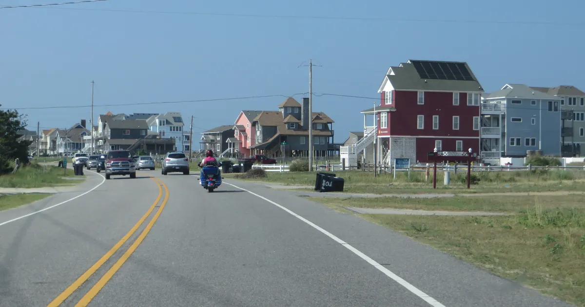
The low is drifting slowly 300 miles off Cape Hatteras, so the Outer Banks flood warnings now run to Wednesday evening, with 2 to 4 feet of water expected.


Key points
- The nor'easter off North Carolina is staying longer than forecast. The Coastal Flood Warnings for Hatteras and Ocracoke now run until 8 p.m. EDT Wednesday instead of 8 a.m. Tuesday, with 2 to 4 feet of water expected in low spots.
- In Hampton Roads, the weekend watches have become Coastal Flood Advisories for up to one foot of water through Wednesday night. Delaware and south Jersey have advisories for Tuesday's evening high tide.
- Farther south, northeast winds have pushed the St Johns River at Astor, Florida, into moderate flood, and minor coastal flooding is expected along the Jacksonville coast and the St Johns basin until early Thursday.

The storm that will not leave
On Saturday the Newport/Morehead City office of the National Weather Service turned its Outer Banks watches into Coastal Flood Warnings set to end Tuesday morning. On Monday afternoon it moved that end out to Wednesday evening. The reason is in its 1:56 p.m. EDT forecast discussion. The low is about 300 miles east-southeast of Cape Hatteras. It is cut off from the steering winds aloft and "will only very slowly drift northward over the next few days." The office does not expect it to pull away from the coast until Wednesday night or Thursday.
That means more high tides with the wind in the same direction. The reissued warning for Hatteras Island, sent at 2:47 p.m. EDT, still calls for 2 to 4 feet of water above ground near the shore and the sounds. It also says what the length of the event could mean for the people living there: "There is a possibility of being stranded on Hatteras Island for multiple days. This could be life threatening if you have an emergency." The Ocracoke warning uses the same words for Ocracoke. Both say vulnerable parts of NC-12 may go under water, especially around high tide. The Hatteras text calls it "a long duration event with uncertainty on when conditions will improve."
The discussion also notes that the forecast models do not all agree. Some guidance moves the low a little farther northeast after Tuesday, which would let the wind ease. The office adds that enough of the guidance keeps it close for gale conditions to last along the coast through midweek.
| Area | Product | Water above ground | Breaking waves | Until |
|---|---|---|---|---|
| Hatteras Island | Coastal Flood Warning, High Surf Advisory | 2 to 4 ft | 10 to 14 ft | flood 8 p.m. Wed; surf 6 a.m. Thu |
| Ocracoke Island | Coastal Flood Warning, High Surf Advisory | up to 2 to 4 ft | 6 to 9 ft | flood 8 p.m. Wed; surf 8 a.m. Wed |
| Northern Outer Banks | Coastal Flood Advisory, High Surf Advisory | up to 1 to 3 ft | 9 to 12 ft | flood 8 p.m. Wed; surf 6 a.m. Thu |
| East Carteret | Coastal Flood Advisory, High Surf Advisory | up to 1 to 2 ft | 8 to 10 ft | flood 8 p.m. Tue; surf 8 a.m. Wed |
| Pamlico, Southern Craven, Tyrrell | Coastal Flood Advisory | up to 1 to 2 ft | 2 a.m. Tue |
*Times EDT. Source: NWS Newport/Morehead City products sent 2:47 p.m. EDT Monday, October 19, and its Area Forecast Discussion of 1:56 p.m. EDT. What changed since Saturday's piece: the Hatteras and Ocracoke warnings and the Northern Outer Banks advisory previously ended at 8 a.m. Tuesday.*
Up the coast: watches became advisories
On Saturday, NWS Wakefield had Coastal Flood Watches over Virginia Beach, Norfolk, Chesapeake, Portsmouth, Suffolk, Newport News, the Eastern Shore and the Maryland beaches. At 2:45 p.m. EDT Monday it replaced them with Coastal Flood Advisories. The advisories expect up to one foot of water in the lowest places by the water, mostly parking lots, parks, lawns and some roads, and they run until midnight Wednesday night. Breaking waves of 8 to 14 feet are forecast at Virginia Beach and in eastern Currituck County until 7 p.m. Wednesday.
NWS Mount Holly issued advisories for Tuesday at 3:54 p.m. EDT. They cover up to half a foot of water in Ocean, Atlantic, Cape May and southeastern Burlington counties in New Jersey, and up to one foot in Kent and Sussex counties in Delaware, from 3 to 9 p.m. Tuesday. The office says more high tides after Tuesday evening will run high, "with additional coastal flood hazards likely being needed."
| Area | Product | Water above ground | Window (EDT) |
|---|---|---|---|
| Chesapeake, Hampton and Poquoson, Norfolk, Portsmouth, Suffolk | Coastal Flood Advisory | up to 1 ft | until midnight Wed night |
| Virginia Beach, Eastern Currituck | Coastal Flood Advisory, High Surf Advisory (8 to 14 ft) | up to 1 ft | until midnight Wed night |
| Newport News, Isle of Wight, Surry, James City, Charles City | Coastal Flood Advisory | up to 1 ft | until midnight Wed night |
| Maryland Beaches, Accomack, Northampton, Inland Worcester | Coastal Flood Advisory, High Surf Advisory (4 to 12 ft) | up to 1 ft | noon Tue to midnight Wed night |
| Kent, Inland Sussex, Delaware Beaches | Coastal Flood Advisory | up to 1 ft | 3 to 9 p.m. Tue |
| Ocean, Atlantic, Cape May, SE Burlington NJ | Coastal Flood Advisory | up to 0.5 ft | 3 to 9 p.m. Tue |
*Source: NWS Wakefield products sent 2:45 p.m. EDT and NWS Mount Holly products sent 3:54 p.m. EDT, Monday, October 19.*
Florida: a river backed up by the wind
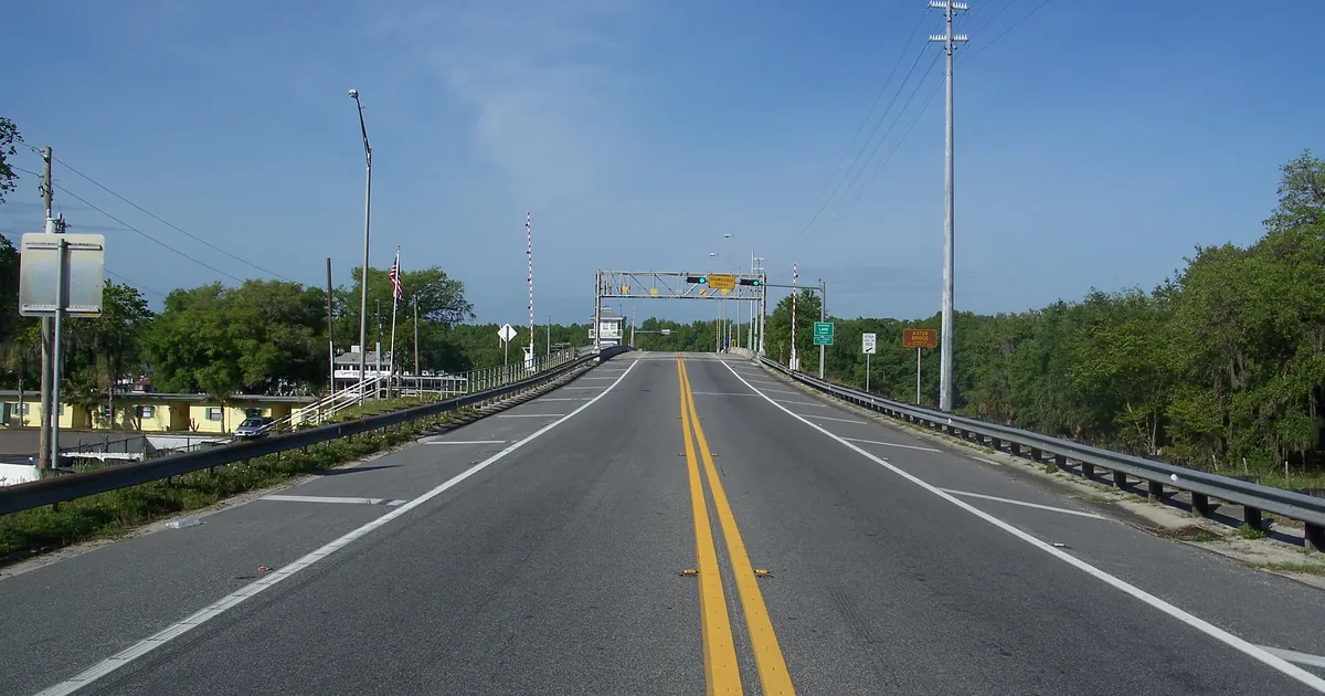
The St Johns River at Astor reached moderate flood Monday morning. The NWS Melbourne Flood Warning at 9:56 a.m. EDT put the cause in one line: "Persistent northeast winds have caused river levels on the St Johns at Astor to rise into Moderate Flood Stage this morning." The river was at 3.0 feet at 8:30 a.m. Flood stage is 2.3 feet. The forecast holds it steady at 3.1 feet, and the office expects it to stay in moderate flood through the end of the week. The warning lists what 3.0 feet means at Astor: water near or entering the lowest homes on Wildhog Road and McPherson Lane, and flooding at the Astor Landing Campground roads and the Lake Dexter boat ramp.
NWS Jacksonville has Coastal Flood Advisories for minor flooding on the Duval, St. Johns and Flagler coasts and in the St Johns River basin until 4 a.m. Thursday, plus 7 to 10 foot breakers until 8 p.m. Tuesday.
| Gauge or area | Reading | Flood stage | Forecast |
|---|---|---|---|
| St Johns River near Astor | 3.0 ft at 8:30 a.m. EDT Mon | 2.3 ft (bankfull 2.0) | steady near 3.1 ft, moderate flood through the week |
| Coastal Duval, Flagler, St. Johns; St Johns River basin | minor coastal flooding | until 4 a.m. EDT Thu |
*Source: NWS Melbourne Flood Warning, 9:56 a.m. EDT, and NWS Jacksonville Coastal Flood Advisories, 9:56 a.m. EDT, Monday, October 19.*
This is a morning summary, not emergency information. For live warnings see weather.gov and your local officials.
The rock's live forecast for the places in this story
More from the Weather Beat
More from the Journal
 THE WEATHER BEAT
Champi watch becomes a Typhoon Warning for Guam and Rota, with a Tropical Storm Warning for Tinian and Saipan
OCT 16
 THE WEATHER BEAT
Severe Thunderstorm Watch for Philadelphia, Harrisburg, Baltimore and Washington until 8 p.m. as a fast cold front crosses the Mid-Atlantic
OCT 16
 EXPLAINERS
Why Is the Sky Blue?
AUG 20
Follow the Journal: RSS · get it by email