THE WEATHER BEAT · SEP 21
The coastal flood watch reached Hampton Roads at 2:22, and the gale watch reached Maryland at four
Wakefield put most of its tidal area under a coastal flood watch at 2:22, and by four the gale watch had reached up the Chesapeake into Maryland.

Key points
- NWS Wakefield issued Coastal Flood Watches at 2:22 p.m. EDT for most of its tidal area. Two to three feet of water above ground level is possible in Hampton Roads, on the Middle Peninsula, along the lower Northern Neck and on the Eastern Shore, from Wednesday afternoon through late Thursday night.
- At 4 p.m. EDT the Baltimore and Washington office put the Maryland Chesapeake Bay, the tidal Potomac, the Choptank up to Cambridge and the Patuxent under a gale watch. The watch now runs from the ocean south of Nantucket to the Alligator River in North Carolina, held by six offices in 26 separate products.
- The low doing all of this still does not exist. Wakefield's 3:05 p.m. EDT discussion credits strong northeast winds and cold air damming, and expects the tidal flooding to last several tide cycles, potentially through the end of the work week.
Wakefield wrote it down at 2:22
This morning the Virginia coast's flooding was a sentence in a forecast discussion. Nothing had been issued. The office said two to three feet of water above ground level was likely by Wednesday's afternoon and evening high tide, and left it at that, because the storm that would do it had not formed.
At 2:22 this afternoon the office signed the products. Six Coastal Flood Watches went out across Virginia, the lower Eastern Shore of Maryland and the top of North Carolina, and the number in them is the same number the forecaster used at dawn: up to two to three feet of inundation above ground level possible in low-lying areas near shorelines and tidal waterways.
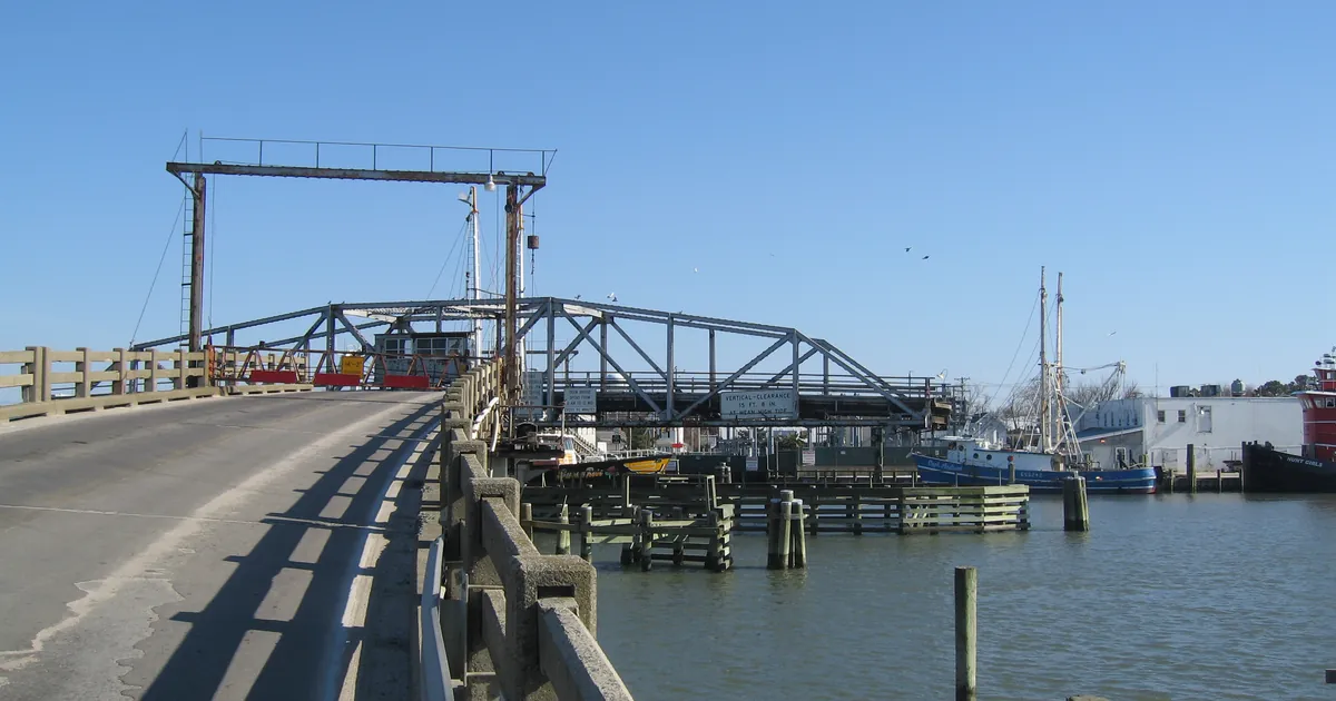
The area is wide. Chesapeake, Norfolk, Portsmouth, Suffolk, Virginia Beach and Hampton are in it. So are Newport News, York, James City, Gloucester and Isle of Wight, and so are Accomack and Northampton out on the Eastern Shore, and Inland Worcester County in Maryland. Each of those watches says the same thing about consequences: numerous roads may be closed, low-lying property including homes, businesses and some critical infrastructure may be inundated, and some shoreline erosion may occur.
One watch starts earlier than the rest and runs longest. On the Middle Peninsula and the lower Northern Neck, the counties on the rivers that feed the bay from the west, the watch opens late Tuesday night and does not close until Friday morning.
| watch area | inundation possible | when |
|---|---|---|
| Chesapeake, Virginia Beach, Suffolk, Hampton and Poquoson, Norfolk, Portsmouth | 2 to 3 feet above ground | Wednesday afternoon through late Thursday night |
| Charles City, New Kent, Gloucester, Surry, James City, eastern King William, eastern King and Queen, York, Newport News, Isle of Wight | 2 to 3 feet above ground | Wednesday afternoon through late Thursday night |
| Westmoreland, Richmond, Northumberland, Lancaster, Middlesex, Mathews, Essex | 2 to 3 feet above ground | late Tuesday night through Friday morning |
| Inland Worcester MD, Accomack VA, Northampton VA | 2 to 3 feet above ground | Wednesday afternoon through late Thursday night |
| Dorchester, Wicomico, Somerset MD | 1 to 2 feet above ground | Wednesday evening through late Thursday night |
| Eastern Currituck NC | 1 to 2 feet above ground | Wednesday morning through late Thursday night |
Sourced from the six NWS Wakefield Coastal Flood Watches listed in the payload, all sent 2:22 p.m. EDT today and read at 8:20 p.m. UTC.
The gale watch went up the bay at four
Earlier today the first coastal flood headlines of the week came out of Mount Holly for southern New Jersey and Delaware, and the marine watches were an ocean story: deep water, offshore, out past the shipping lanes. By this evening the watch had walked inland.
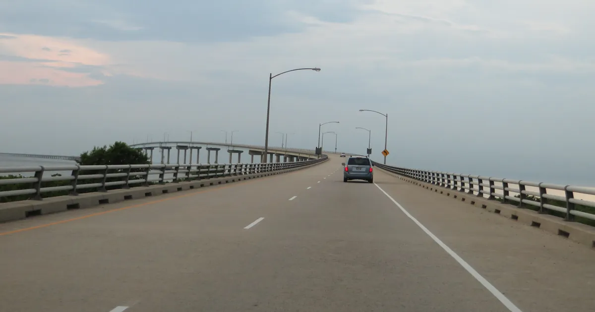
Wakefield's 1:04 p.m. EDT products cover the Chesapeake Bay from Smith Point down to Cape Henry, including the stretch that carries the Chesapeake Bay Bridge-Tunnel, plus the James River up to the Hampton Roads bridge and the Elizabeth River with it. Morehead City took the Albemarle, Croatan and Roanoke Sounds and the Alligator River at 1:58 p.m. EDT. Mount Holly added the Delaware Bay at 1:39 p.m. EDT. Then at 4 p.m. EDT the Baltimore and Washington office put the Maryland half of the bay under a watch too, along with the tidal Potomac as far up as Cobb Island, the Choptank River to Cambridge, and the Patuxent to Broomes Island.
That is a gale watch on rivers, in sounds, and on water that people cross on a bridge to get to work. The wind is the same wind in every one of those products, out of the northeast, for days.
The numbers are worst where the water is deepest and the fetch is longest. They are smallest in the sounds and the bays, and the small ones matter more, because the small ones are where the tide has somewhere to pile up.
| gale watch area | office | wind and gusts possible | seas or waves | when |
|---|---|---|---|---|
| Oregon Inlet to Cape Hatteras NC, coastal and offshore | Newport and Morehead City NC | NE 25 to 35 kt, gusts 40 | 14 to 19 ft | Wednesday evening through Friday morning |
| Duck to Oregon Inlet NC, offshore 20 to 60 NM | Newport and Morehead City NC | NE 25 to 30 kt, gusts 45 | 13 to 18 ft | Wednesday afternoon through Friday morning |
| Sandy Hook NJ to Montauk Point NY, 20 to 60 NM | Upton NY | NE 25 to 35 kt, gusts 40 | 11 to 16 ft | Tuesday evening through Thursday afternoon |
| Ocean waters, Montauk NY to Nantucket MA, 25 to 60 NM | Boston and Norton MA | NE 25 to 35 kt, gusts 45 | 10 to 15 ft | Tuesday afternoon through Thursday afternoon |
| Fenwick Island DE to Parramore Island VA, out 20 NM | Wakefield VA | NE 25 to 35 kt, gusts 45 | 9 to 14 ft | Tuesday night onward, per product |
| Chesapeake Bay, New Point Comfort to Cape Henry VA, including the Bridge-Tunnel | Wakefield VA | NE 25 to 35 kt, gusts 45 | waves 5 to 8 ft | late Tuesday night through Thursday evening |
| Chesapeake Bay, Smith Point to New Point Comfort VA | Wakefield VA | NE 25 to 30 kt, gusts 40 | waves 3 to 6 ft | late Tuesday night through Thursday afternoon |
| Albemarle, Croatan and Roanoke Sounds, Alligator River | Newport and Morehead City NC | NE 25 to 35 kt, gusts 45 | extremely rough waters | per product, Tuesday onward |
| Delaware Bay | Mount Holly NJ | NE 20 to 30 kt, gusts 40 | very rough waters | per product, Tuesday onward |
| Maryland Chesapeake Bay, tidal Potomac, Choptank to Cambridge, Patuxent | Baltimore and Washington | NE 15 to 25 kt, gusts 35 | waves 2 to 4 ft | Wednesday morning through late Wednesday night |
| Long Island Sound east, Peconic and Gardiners Bays, south shore bays | Upton NY | NE 15 to 25 kt, gusts 35 | 3 to 5 ft | per product, Tuesday onward |
Sourced from the 26 active Gale Watches listed in the payload, read at 8:20 p.m. UTC today. Every figure above is the watch level, the possible case, not the advisory conditions the same products expect first. Worth saying plainly: nobody on the East Coast has issued a gale warning. All nine gale warnings active in the country tonight belong to Anchorage and Juneau, in Alaska, for a different weather system entirely.
What the office says is doing it
Wakefield's 3:05 p.m. EDT discussion opens with what changed since the last one, and it is a short list: the flood watches for a large majority of the tidal area, and the gale watches off the North Carolina coast for Wednesday through Friday morning. Two other lines in the same paragraph say the office lowered its Wednesday and Thursday high temperatures further, as cold air damming sets up, and that the Weather Prediction Center introduced a slight risk of excessive rainfall for roughly the western half of the area for Tuesday.
The mechanism, in the office's own third key message, is not the low itself. It is the wind: widespread moderate to locally major tidal flooding, two to three feet above ground level in vulnerable areas, is likely because of strong northeast winds, and the flooding is expected to continue for several tide cycles, potentially through the end of the work week, given the persistent northeast winds.
Canadian high pressure sits to the north. A low is expected to deepen offshore. Between them the air runs one direction for days, and it runs at the coast. The office expects widespread coastal gusts to 25 mph Tuesday, rising to 35 and up to 45 mph along the Atlantic side of the Eastern Shore, naming Ocean City and Chincoteague, Tuesday night into Wednesday, and holds open the possibility of 40 to 45 mph gusts lasting through at least Thursday.
The rest of the week, in that office's area, is cool and wet and unremarkable. Highs in the low to mid 60s inland to the north and west on Wednesday, low to mid 70s toward the southeast. The discussion also notes a secondary surface low may form late Thursday into Friday and pull the main centre a little closer to the coast, which is the part nobody can pin down yet.
This afternoon the same office measured the front it has been writing about all day: readings in the upper 60s at Ocean City and around 90 degrees at the far southern edge of its area, with most places between in the upper 70s to mid 80s. One boundary, twenty-some degrees across it.
Two and a half days from now, the tide will do what the wind tells it. That is the whole forecast, and the useful thing is that it was written down early enough to move a car.
This is a summary of official warnings, not emergency information. For live warnings see weather.gov and your local officials. The National Weather Service pages for these areas are at https://www.weather.gov/akq/, https://www.weather.gov/lwx/, https://www.weather.gov/mhx/, https://www.weather.gov/phi/, https://www.weather.gov/okx/ and https://www.weather.gov/box/.
The rock's live forecast for the places in this story
More from the Journal

.jpg)

Follow the Journal: RSS · get it by email