THE WEATHER BEAT · OCT 16
Nor'easter expected off North Carolina this weekend: Coastal Flood Watches from Hatteras to Hampton Roads, Storm Watches offshore
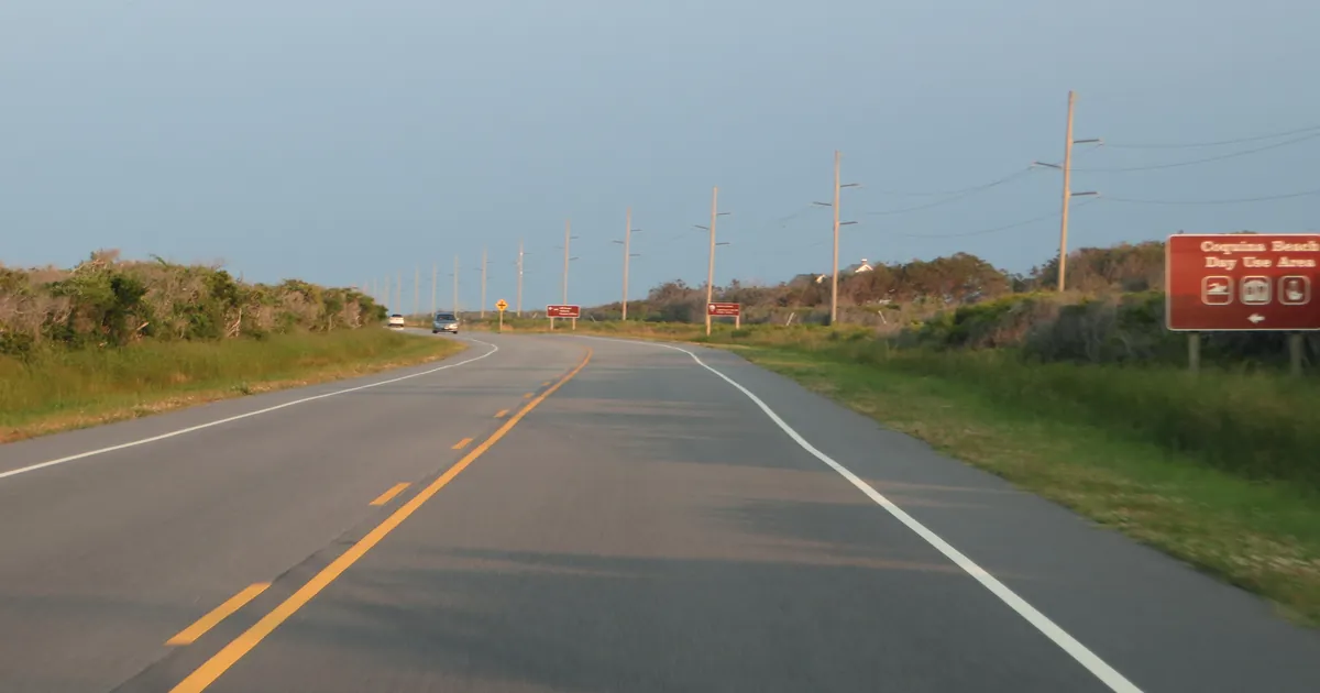
Two NWS offices expect a nor'easter to form off North Carolina this weekend, with coastal flood watches from Ocracoke to Norfolk through Tuesday.

.jpg)
Key points
- NWS Newport/Morehead City wrote Friday evening that a nor'easter is expected to form off the North Carolina coast this weekend, and that the scenario without the low is "now gone."
- The NWS has issued Coastal Flood Watches for Hatteras Island, Ocracoke Island and most of Hampton Roads, Virginia, for Saturday afternoon or Sunday afternoon through Tuesday morning. Ocracoke's watch says 2 to 4 feet of inundation is possible.
- Storm Watches cover the offshore waters from Oregon Inlet to Little River Inlet, and a High Wind Watch covers the Outer Banks with gusts up to 50 mph possible from Saturday evening through late Sunday night.

The low that has not formed yet
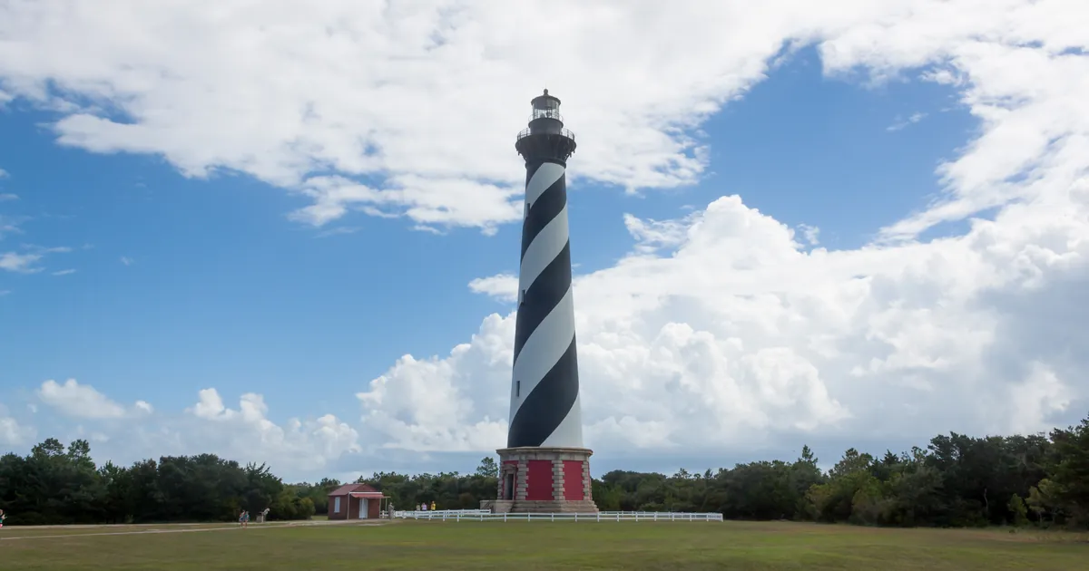
On Friday, two forecast offices that cover the coast between Cape Lookout and the mouth of the Chesapeake moved to the same conclusion within a few hours. The storm does not exist yet. Their message is that it will.
NWS Newport/Morehead City put it plainly in its 8:36 p.m. EDT discussion: "Nor'easter expected to develop off of the NC coast this weekend. Confidence is increasing regarding track and intensity." Further down, the forecaster explained what had changed: "What we do know is that the alternate scenario that excluded the formation of the low is now gone and as a result the expected values for winds and seas has increased."
The setup is a cold front first. The office expects it to cross eastern North Carolina early Saturday and turn the wind to the northeast, bringing rain for much of the day. The low is then expected to form over the Gulf Stream behind it. The forecaster was just as plain about the part nobody knows yet: "Exactly how long it lingers offshore and its eventual route upon exit still have low confidence at this time."
The watches, Hatteras to Hampton Roads
At 8:46 p.m. EDT, Newport/Morehead City issued Coastal Flood Watches for Hatteras Island and Ocracoke Island, from Saturday afternoon through Tuesday morning. For Ocracoke, the product says 2 to 4 feet of inundation above ground level is possible in low-lying areas near shorelines and tidal waterways. The Hatteras Island product disagrees with itself. Its summary line says "up to one foot," while its impacts line says "2 to 4 feet of inundation above ground level is possible in some areas." Both figures are in the same issued text, and we report them both rather than choosing one.
Earlier, at 3:47 p.m. EDT, NWS Wakefield issued Coastal Flood Watches for Norfolk, Portsmouth, Chesapeake, Suffolk, Virginia Beach, Newport News, Surry, James City and Isle of Wight. Each one says one to two feet of inundation is possible from Sunday afternoon through Tuesday morning. Several add that flooding "may continue through mid week." The Wakefield discussion called it a "long duration coastal flood event." It also said more coastal flood watches are likely "tonight or Saturday."
The wind side comes from the same office. A High Wind Watch for East Carteret County, Hatteras Island, the Northern Outer Banks and Ocracoke Island, issued at 2:18 p.m. EDT, says north winds of 25 to 35 mph with gusts up to 50 mph are possible from Saturday evening through late Sunday night. Offshore, Storm Watches from Newport/Morehead City (2:29 p.m. EDT) and NWS Wilmington (2:23 p.m. EDT) cover the waters 20 to 60 miles out, with seas of 17 to 23 feet possible off Cape Hatteras. The Newport/Morehead City marine discussion called Friday's 2 to 3 foot seas "the last pleasant boating conditions for quite some time."
A watch means the conditions are possible, not certain. Nothing in these products is a warning yet. This is a summary of official watches, not emergency information. For live warnings see weather.gov and your local officials.
The products, for the record
| Product | Office, issued (EDT, Fri Oct 16) | Where | What it says | When |
|---|---|---|---|---|
| Coastal Flood Watch | Newport/Morehead City, 8:46 p.m. | Ocracoke Island | 2 to 4 ft inundation possible | Sat afternoon to Tue morning |
| Coastal Flood Watch | Newport/Morehead City, 8:46 p.m. | Hatteras Island | "up to one foot" (summary) and "2 to 4 feet" (impacts), both in the product | Sat afternoon to Tue morning |
| Coastal Flood Watch | Wakefield, 3:47 p.m. | Norfolk, Portsmouth, Chesapeake, Suffolk, Virginia Beach, Newport News, Surry, James City, Isle of Wight | 1 to 2 ft inundation possible | Sun afternoon to Tue morning |
| High Wind Watch | Newport/Morehead City, 2:18 p.m. | East Carteret, Hatteras Island, Northern Outer Banks, Ocracoke Island | N 25 to 35 mph, gusts to 50 mph possible | Sat evening to late Sun night |
| Storm Watch | Newport/Morehead City, 2:29 p.m. | Oregon Inlet to Ocracoke Inlet, 20 to 60 nm | NE 35 to 40 kt, gusts to 50 kt, seas 18 to 23 ft possible | Sat evening to Sun evening |
| Storm Watch | Newport/Morehead City, 2:29 p.m. | Ocracoke Inlet to Surf City, 20 to 60 nm | N 35 to 40 kt, gusts to 50 kt, seas 17 to 22 ft possible | Sat evening to late Sun night |
| Storm Watch | Wilmington, 2:23 p.m. | Surf City to Little River Inlet, 20 to 60 nm | N 35 to 40 kt, gusts to 50 kt, seas 12 to 17 ft possible | Sun morning to late Sun night |
Sources: NWS alerts via api.weather.gov, read at 01:30Z Saturday; NWS Newport/Morehead City discussion 8:36 p.m. EDT and NWS Wakefield discussion 8:19 p.m. EDT, Friday October 16. Products as issued, superseded by any later product.
This is a summary of official watches, not emergency information. For live warnings see weather.gov and your local officials. https://www.weather.gov/mhx/ and https://www.weather.gov/akq/
The rock's live forecast for the places in this story
More from the Journal
 THE WEATHER BEAT
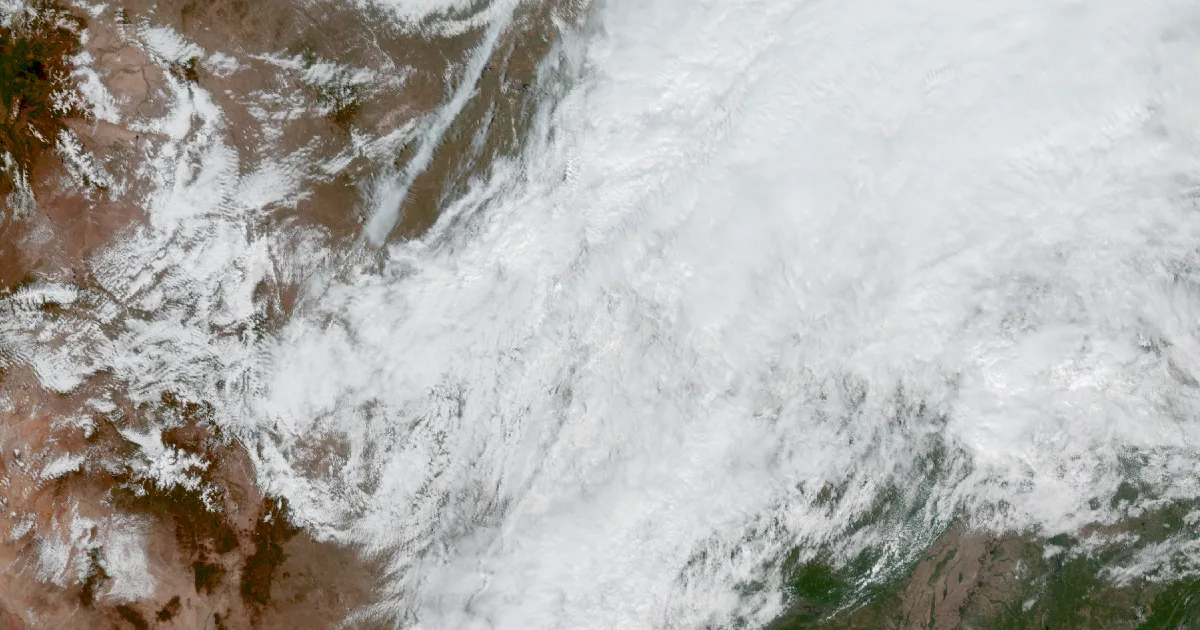
Freeze Warnings from Denver to Bismarck tonight, and Freeze Watches from Lubbock to southern Wisconsin for Friday night
OCT 15
THE WEATHER BEAT
Freeze Warnings from Denver to Bismarck tonight, and Freeze Watches from Lubbock to southern Wisconsin for Friday night
OCT 15
 THE WEATHER BEAT
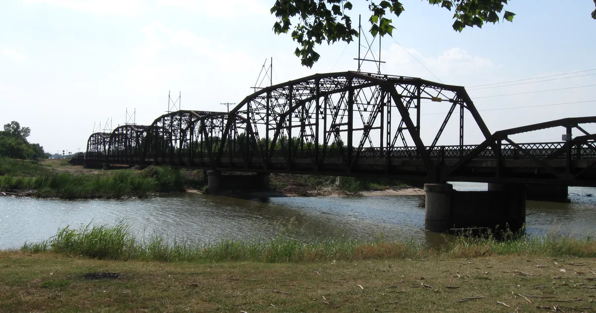
Up to 8 inches of rain fell overnight in western and central Oklahoma, and the Canadian River near Bridgeport is at its 2004 crest
OCT 14
THE WEATHER BEAT
Up to 8 inches of rain fell overnight in western and central Oklahoma, and the Canadian River near Bridgeport is at its 2004 crest
OCT 14
 EXPLAINERS
Why Is the Sky Blue?
AUG 20
EXPLAINERS
Why Is the Sky Blue?
AUG 20
Follow the Journal: RSS · get it by email