THE WEATHER BEAT · SEP 20
Water rescues reported at Denison, seventeen minutes after the rain was called beneficial
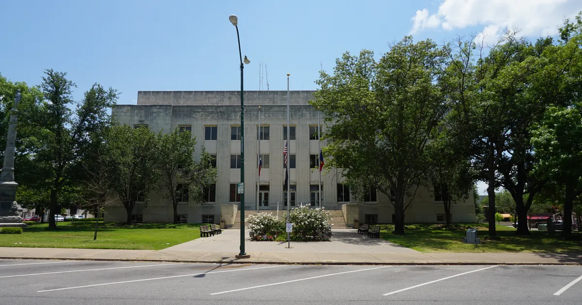
Emergency management reported flooded roads and possible water rescues at Denison, Texas on Sunday evening. The same rain was called beneficial at 6 p.m.

Key points
- Emergency management in Denison, Texas reported multiple impassable roads and potential water rescues at 6:27 p.m. CDT Sunday, and the National Weather Service office at Fort Worth put the words "Life threatening flash flooding" in the warning it issued for east central Grayson County.
- Across the Red River in Bryan County, Oklahoma, between 2 and 3.5 inches of rain had fallen by 7:18 p.m. CDT, with Durant, Calera, Colbert, Achille and Mead named in the warning.
- Seventeen minutes before its first Denison warning, the same Fort Worth office called the day's rain beneficial. Both lines were written by the same forecasters on the same evening, and both were about the same storms.
Sunday evening on the Red River
The thing that makes a flash flood warning worth reading is the line that says where the information came from. Most of them say "Radar indicated." Two of tonight's said something else.
At 6:18 p.m. CDT the Fort Worth office issued a flash flood warning for central Grayson County, Texas, and under SOURCE it wrote "Emergency management reported." The product said that as of 6:18 p.m. CDT, emergency management had reported multiple flooded roads and vehicles stuck in flood water in and around the Denison area, that flash flooding was already occurring there, and that more was imminent or occurring from Sherman to Southmayd. It named Pottsboro, Knollwood, Randell Lake, Eisenhower State Park, Boddie and Carpenters Bluff alongside them.
Nine minutes later the office issued a second warning, this one for east central Grayson County, running until 8 p.m. CDT. Its report was from 6:27 p.m. CDT and it was worse: multiple un-passable roads and potential water rescues ongoing in Denison. That product carried the hazard line the Weather Service reserves for the serious ones, "Life threatening flash flooding," and one instruction, which was to stay off the roads unless absolutely necessary.
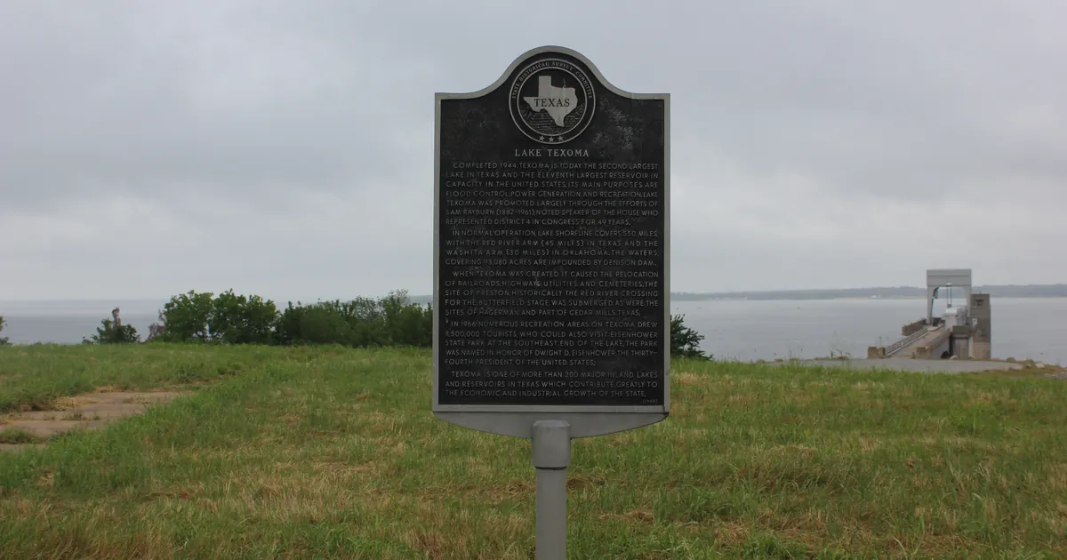
Neither warning gave a rainfall total, because nobody had measured one yet. The office across the river did. At 7:18 p.m. CDT the Norman office warned Bryan County, Oklahoma, the county that holds Durant and the eastern end of Lake Texoma, and put a number on it: between 2 and 3.5 inches had already fallen, no more was expected, and the flooding would continue anyway. That is the ordinary arithmetic of a flash flood. The sky can finish and the water can keep going for hours.
By 7:11 p.m. CDT the picture had widened rather than worsened. Fort Worth dropped the area down a tier to a flood advisory covering Fannin County and southern Grayson County until 9:30 p.m. CDT, a product about ponding, low water crossings and minor flooding, naming Bonham, Van Alstyne, Howe, Whitewright and Bonham State Park. Three different products for three different severities inside two counties in one hour is not a mess. It is the system working at the resolution it was built for.
What was issued, Sunday evening
| Time issued CDT | Product | Office | Where | What it said |
|---|---|---|---|---|
| 6:18 p.m. | Flash Flood Warning | Fort Worth TX | Central Grayson County, TX | Flooded roads and vehicles stuck in flood water in and around Denison, reported by emergency management |
| 6:27 p.m. | Flash Flood Warning | Fort Worth TX | East Central Grayson County, TX | Un-passable roads and potential water rescues ongoing in Denison. Life threatening flash flooding |
| 7:11 p.m. | Flood Advisory | Fort Worth TX | Fannin County and southern Grayson County, TX | Minor flooding, dangerous flows over low water crossings, until 9:30 p.m. CDT |
| 7:18 p.m. | Flash Flood Warning | Norman OK | Bryan County, OK | Between 2 and 3.5 inches fallen, no additional rainfall expected, flooding impacts continuing |
Warning times are the times the products were sent. All four expired Sunday night. Locations listed in the warnings include Sherman, Denison, Pottsboro, Southmayd and Carpenters Bluff in Texas, and Durant, Colbert, Achille, Calera, Silo, Hendrix, Cartwright, Mead and eastern Lake Texoma in Oklahoma.
What the forecasters had said
At 6:01 p.m. CDT, in the update that went into its 6:13 p.m. area forecast discussion, the Fort Worth office wrote that isolated to scattered thunderstorms might persist a few more hours on outflow mergers, that areas from Arlington southwest to Hamilton "have received beneficial rainfall today, along with the Sherman/Denison area," and that a few storms had become severe with damaging wind gusts. It added that frequent lightning and heavy rain had come with several of them.
That was seventeen minutes before the first Denison warning. Both statements are accurate, and the gap between them is the whole difference between a rain gauge and a street. North Texas has been dry and the rain was wanted. In one corner of one county it arrived faster than the drains could take it, and the people who found that out first were driving.
The afternoon discussion, issued at 2:24 p.m. CDT, had set it up honestly enough. A cold front was still well removed from the area, a shortwave was approaching from the west, and a sharp moisture gradient had set up just west of the I-35 corridor with dew points falling off quickly to the west of it. Deep layer shear was modest, so the forecasters expected multi-cell to loosely organized clusters rather than anything rotating, with strong to damaging winds the main risk and hail up to about an inch. Slow, clustered, wet storms on a moisture boundary are exactly the kind that put 3 inches on one county and none on the next.
On the Oklahoma side, the Norman office's 1:25 p.m. CDT discussion had the same front moving south through the state, 1500 to 2500 joules per kilogram of instability, damaging winds and hail as the concerns, and one more hot day ahead of the front across southern Oklahoma and western north Texas, with heat index values near 105. The front brought the relief and the storms in the same package, which is usual.
Today, officially
As of the wire at 00:35 UTC on 2026-09-21 there were 465 active National Weather Service alerts nationally. Most of them were marine: 296 small craft advisories across 23 offices and 52 gale warnings across 2. On land the count was led by 38 flood warnings across 9 offices and 18 flood watches across 7, which is the upper Midwest river flooding this desk wrote about Sunday afternoon and which has not changed. There were 11 flood advisories across 6 offices, including two in Kerr County, Texas and two in the Dayton area of southwestern Ohio.
The Storm Prediction Center's day one outlook carried a highest risk category of slight, for severe wind gusts and large hail across parts of Oklahoma and from eastern Colorado into far western Kansas, with isolated severe gusts and hail also possible from the southern Plains eastward through the Ozarks into the Ohio Valley. Severe thunderstorm watch 673 covered nine counties in southeast and east central Colorado and west central Kansas, including Lamar, Eads, Burlington, Cheyenne Wells, Leoti, Oakley, Sharon Springs, Tribune and Syracuse, until 9 p.m. MDT.
The National Hurricane Center's 21:00 UTC advisories had Tropical Storm Fay in the Atlantic at 55 knots, Tropical Storm Odalys in the eastern Pacific at 45 knots, and a new Tropical Depression Seventeen-E in the eastern Pacific at 30 knots. None of the three carried a United States watch or warning.
For the fourth day running, two of the wire's five sources refused our fetcher. The Storm Prediction Center's preliminary storm reports for yesterday and the Weather Prediction Center's day one excessive rainfall outlook both returned HTTP 403, so this brief carries no yesterday report counts and no rainfall risk categories. That is our tool being turned away and not a quiet country, and it is said here rather than left as a silence.
This is a summary of official warnings, not emergency information. For live warnings see weather.gov and your local officials.
The rock's live forecast for the places in this story
More from the Journal


.jpg)
.jpg)
Follow the Journal: RSS · get it by email