THE WEATHER BEAT · SEP 23
Storm watches went up over New England's waters overnight, and the tide reaches Hampton Roads today
Three offices added the rung above a gale for Thursday into Saturday, while coastal flood warnings run from Ocracoke to the Jersey shore.

The coastal low that four days of products have been pointing at finally has a name in a forecaster's own file, and a new headline to go with it. Overnight, three National Weather Service offices from New Jersey to Cape Cod put storm watches over their offshore waters for Thursday night into Saturday. That is the step above the gale warnings that have been flying since Tuesday morning, and it is the first time this week anyone on the East Coast has used it.
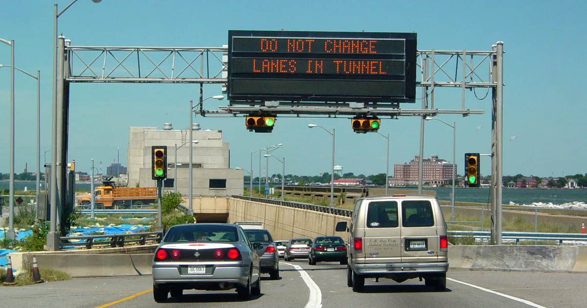
Closer in, the water arrived on schedule. NWS Wakefield's 6:25 a.m. EDT package put coastal flood warnings up for all of Hampton Roads, and the office's 6:45 a.m. forecast discussion said why in one line: moderate flooding was expected with the morning high tide in multiple locations. On the Outer Banks, Hatteras Island and Ocracoke Island go under a warning at 2 p.m. for two to four feet of inundation, the largest number written anywhere on the coast today.
Key points
- Storm watches were issued overnight for offshore waters from Sandy Hook, New Jersey to Massachusetts Bay, covering Thursday evening through Saturday, with gusts to 55 knots and seas to 17 feet listed as possible.
- Coastal flood warnings cover fifteen zones from Ocracoke to the Jersey shore this afternoon and tonight, with two to three feet of inundation written for Hampton Roads and two to four feet for Hatteras and Ocracoke islands.
- Three offices said in writing that the weekend is still uncertain, including how close the low comes and whether it lingers into Sunday.
Yesterday and overnight: rain on the damming wedge
Eastern Virginia spent the night under cold air damming, a wedge of cool air pinned east of the Blue Ridge, with rain falling into it. NWS Wakefield's 3:45 a.m. EDT discussion described a nearly stationary band of rain running from west of Farmville to Cambridge, and reported one gauge total, with its own caveat attached: observations are limited, but a gauge in southwestern Powhatan has recorded 5.36 inches in 3 to 4 hours. That is a single gauge in a forecast discussion, not a verified storm total, and the office said as much.
The same office's marine section put the two pieces of the map in one sentence at 2:55 a.m. EDT: a developing low of about 1011 millibars a couple of hundred miles off the North Carolina coast, and strong high pressure of about 1038 millibars over southern Quebec. The pressure difference between those two is the northeast wind that has been pushing water into the Chesapeake all week.
Well away from any of it, six frost advisories were in effect at dawn across the upper Great Lakes and northern Vermont, from NWS Duluth, Green Bay, Marquette, Gaylord and Burlington. All of them expired between 7 and 9 a.m. local time.
Today, officially: the storm watch
The new product is the storm watch, and it is a marine headline. The watches carry the products' own phrase, storm force winds, and each one is written alongside the gale warning it follows, so the offices are describing a two stage week on the water: gales today and Thursday, potentially worse Friday and Saturday.
| Office | Waters | Winds possible | Seas possible | Window | Sent |
|---|---|---|---|---|---|
| Boston/Norton MA | Nantucket Sound, Vineyard Sound, Buzzards Bay, Rhode Island Sound, Block Island Sound | north 30 to 40 kt, gusts to 50 kt | 6 to 9 ft | late Thu night to Sat evening | 2:24 a.m. EDT |
| Boston/Norton MA | Ocean waters Montauk to Marthas Vineyard to Nantucket, 25 to 60 NM | north 35 to 40 kt, gusts to 50 kt | 13 to 16 ft | late Thu night to Sat evening | 2:24 a.m. EDT |
| Boston/Norton MA | Ocean waters Provincetown to Nantucket, 20 to 60 NM | northeast 30 to 40 kt, gusts to 45 kt | 12 to 17 ft | Fri morning to Sat evening | 2:24 a.m. EDT |
| Boston/Norton MA | Massachusetts Bay and Ipswich Bay | northeast 25 to 35 kt, gusts to 50 kt | 9 to 14 ft | Fri morning to Sat evening | 2:24 a.m. EDT |
| Boston/Norton MA | Cape Cod Bay | northeast 30 to 35 kt, gusts to 50 kt | 6 to 9 ft | Fri morning to Sat evening | 2:24 a.m. EDT |
| Upton NY | Sandy Hook NJ to Montauk Point NY, 20 to 60 NM | northeast 30 to 40 kt, gusts to 55 kt | 13 to 17 ft | Thu evening to Fri afternoon | 2:37 a.m. EDT |
| Mount Holly NJ | Sandy Hook NJ to Fenwick Island DE, 20 to 60 NM | north 30 to 40 kt, gusts to 55 kt | 11 to 16 ft | Thu evening to Sat afternoon | 5:44 a.m. EDT |
Ten storm watches were active nationally at 11:07 a.m. UTC, all ten from those three offices. The only storm warnings in the country were three from NWS Anchorage. Of the 79 gale warnings active at the same minute, 45 were Alaskan, from Anchorage and Juneau, and 34 ran the East Coast from Wilmington, North Carolina to Boston. Source: NWS active alerts, api.weather.gov, read at 11:07 to 11:20 a.m. UTC.
Today, officially: the tide
Fifteen coastal flood warnings were active this morning, from three offices, and they were the only coastal flood warnings in the country.
| Office | Zones | Inundation | Window (EDT) |
|---|---|---|---|
| Wakefield VA | Chesapeake, Hampton and Poquoson, Suffolk, Norfolk, Portsmouth | 2 to 3 ft | until 4 a.m. Friday |
| Wakefield VA | Virginia Beach | 2 to 3 ft | until 4 a.m. Friday |
| Wakefield VA | New Kent, Gloucester, York, eastern King William, eastern King and Queen | 2 to 3 ft | until 4 a.m. Friday |
| Wakefield VA | Westmoreland, Richmond, Northumberland, Lancaster, Middlesex, Mathews, Essex | 2 to 3 ft | until 8 a.m. Friday |
| Wakefield VA | Prince George, Charles City, Surry, James City, Newport News, Isle of Wight | 1 to 2 ft | until 4 a.m. Friday |
| Wakefield VA | Eastern Currituck NC | 2 to 3 ft | 11 a.m. today to 4 a.m. Friday |
| Wakefield VA | Maryland Beaches, Accomack, Northampton | 1 to 2 ft | 4 p.m. today to 4 a.m. Friday |
| Wakefield VA | Dorchester, Wicomico, Somerset | 1 to 2 ft | 6 p.m. today to 4 a.m. Friday |
| Newport/Morehead City NC | Hatteras Island | 2 to 4 ft | 2 p.m. today to 11 p.m. Friday |
| Newport/Morehead City NC | Ocracoke Island | 2 to 4 ft | 2 p.m. today to 11 p.m. Friday |
| Mount Holly NJ | Ocean, Atlantic, Cape May, southeastern Burlington | 1 to 2 ft | 4 p.m. today to 2 a.m. Saturday |
| Mount Holly NJ | Delaware Beaches | 1 to 2 ft | until 2 a.m. Saturday |
| Mount Holly NJ | Kent and inland Sussex, Delaware | 1 to 2 ft | until 2 a.m. Saturday |
Inundation figures are the products' own, stated as feet above ground level in low lying areas near shorelines and tidal waterways. Sent times: Wakefield 6:25 a.m., Morehead City 4:48 a.m., Mount Holly 4:28 a.m. EDT.
The impact wording still separates the offices, the way it did last night. Morehead City writes that portions of Highway 12 will be inundated and that low lying property including homes, businesses and some critical infrastructure will be inundated, in the plain future tense. Mount Holly writes that widespread roadway flooding occurs at this level, many roads become impassable, and some damage to vulnerable structures may begin to occur. Wakefield's wind advisory reason, given in the 6:45 a.m. discussion, is that winds will likely gust in excess of 50 mph this afternoon into Thursday night along the immediate coast.
Up the Chesapeake, NWS Baltimore and Washington held its line. At 3:59 a.m. EDT the office wrote that a long duration coastal flood event is expected over the next several days within persistent onshore flow, that overnight changes were small, and that decisions would likely need to be made this morning regarding whether watches are converted to warnings or advisories. As of the 11:07 a.m. UTC wire, that office had five coastal flood advisories and three watches up, at Annapolis, Alexandria, Straits Point, Dahlgren and Solomons Island, and no warnings.
What the offices say they do not know
Three discussions said the weekend is unsettled in the forecasting sense, not the weather sense.
- NWS Boston/Norton, 1:55 a.m. EDT: a strong coastal low pressure system will bring impacts to southern New England in the form of rain, rough seas, strong winds, and coastal flooding or erosion Friday into the weekend. Exact timing and magnitude of the winds and rain remain unknown.
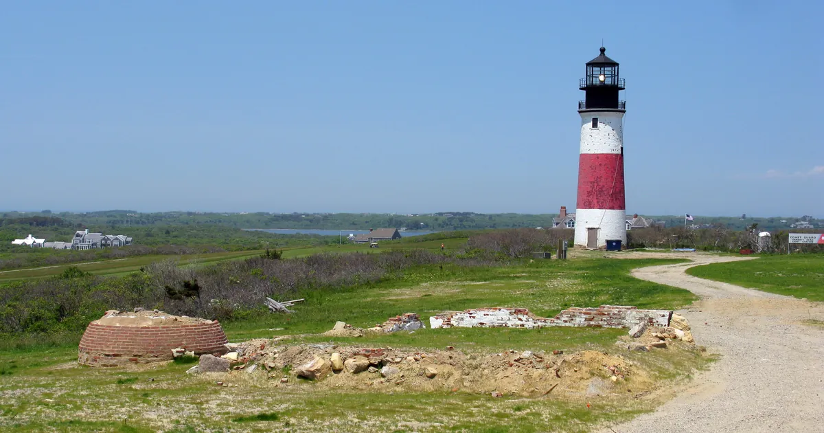
- NWS Upton, 4:04 a.m. EDT: global models in agreement with a coastal low tracking southeast of the area during the Friday to Saturday period, but differences show up regarding how close the center of the storm will be and whether or not it lingers nearby or retrogrades closer into Sunday.
- NWS Wakefield, 6:45 a.m. EDT: confidence in the forecast for this weekend remains below average due to uncertainties with a developing coastal low.
NWS Baltimore and Washington used the word the rest of the week has been circling, in its second key message at 3:59 a.m. EDT: breezy and warmer this weekend, but forecast remains uncertain as Nor'easter impacts Northeast U.S.
Elsewhere
The Storm Prediction Center's day 1 outlook carried a Marginal Risk as its highest category, with thunderstorms and isolated severe wind gusts and hail possible this afternoon across parts of the southern Appalachians. Two flash flood warnings were issued overnight by NWS El Paso for Dona Ana and Otero counties in New Mexico and El Paso County, Texas, both expiring before 6 a.m. MDT. The National Hurricane Center's 09:00 UTC advisories carried Hurricane Odalys at 65 knots, Hurricane Polo at 135 knots and Tropical Depression Fifteen-E at 30 knots, all in the eastern and central Pacific, with no watches or warnings for the United States.
Two products this brief would normally check were unavailable to us again this morning. The Storm Prediction Center's preliminary storm reports for yesterday and the Weather Prediction Center's day 1 excessive rainfall outlook both returned HTTP 403 to our wire tool, the tenth straight day. Their absence from this brief is our reach, not their silence.
This is a summary of official warnings, not emergency information. For live warnings see weather.gov and your local officials.
The rock's live forecast for the places in this story
More from the Journal


.jpg)
Follow the Journal: RSS · get it by email