EXPLAINERS · AUG 6
How Weather Radar Works, and When It Lies
Weather radar explained: how echoes become the colored map, why the beam sees rain aloft rather than ground truth, and the classic radar illusions like virga and the leading edge.

Grounded in National Weather Service definitions; suitable for classrooms and other curious humans.
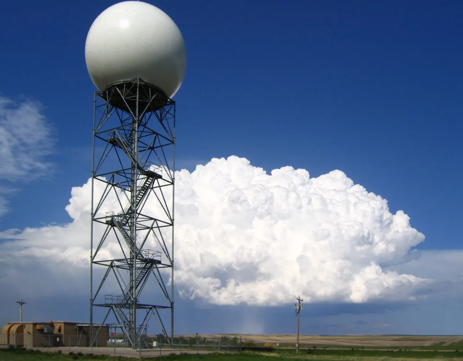
Radar sends microwave pulses and times the echoes that bounce back off precipitation. It measures what is falling through the air, not what is reaching your shoes: the beam rises with distance, so far from the radar it can only see rain a mile or more overhead. Most radar illusions, like dry ground under a colorful blob, come from that gap between the beam and the ground.
Pulses, echoes, and colors
A weather radar spins slowly, sending out pulses of microwave energy and listening. When a pulse hits raindrops, snowflakes, or hail, part of the energy reflects home. Distance comes from the delay; intensity comes from how much energy returns. Big drops and hailstones reflect ferociously, which is why the colors climb from green through yellow to red as precipitation gets heavier.
The beam looks up
The lowest radar scan is tilted about half a degree above level, and the Earth curves away beneath it. Both effects lift the beam higher above the ground the farther it travels. Close to the radar it samples air a few hundred feet up; a hundred miles out, it is sampling weather more than a mile and a half overhead. Everything below the beam is invisible to it.
The classic lies
- . Rain paints the screen but evaporates in dry air on the way down. The radar honestly saw rain; the rain simply never finished the trip.
- The leading edge. An approaching storm slings rain forward aloft. Radar paints your neighborhood minutes before the first drop lands, which is why the map can disagree with your dry driveway while thunder is already audible.
- of cloud. Full sun.">clear day.">Ground clutter. Near the radar, the beam clips buildings, , even flocks of birds, and draws them as weather. Modern filters catch most of it.
- Under the beam. Far from the radar, shallow . Light, moderate, and dense grades.">drizzle or snow can slide beneath the beam entirely: dry screen, wet ground. The opposite lie.
Reading radar like the rock does
Treat radar as testimony about the air, not a verdict about the ground. Animate it: motion tells you whether that blob is a threat or a memory. Check intensity trends rather than single frames. And when the map and your window disagree, believe the window. The rock has held this position for roughly a billion years and sees no reason to soften it.
Words in this lesson
Every marked word above is here in full, because a definition that only appears on hover is no use to somebody reading on a phone, printing the page, or listening to it.
- Clear
- Zero to one okta of cloud. Full sun.
- Drizzle
- Fine drops under 0.02 inch across, usually from stratus. Light, moderate, and dense grades.
- Ground clutter
- Radar returns from buildings, hills and trees near the antenna rather than from weather. It is why a radar map can show a permanent smudge over a city on a clear day.
- Okta
- One eighth of the sky. Sky cover is counted in oktas, from zero for clear to eight for overcast, which is why the familiar sky words are really just bands of a number.
- Ridge
- A northward bulge in the upper air flow, an elongated area of higher pressure. Air sinks beneath a ridge, bringing quiet, often warm weather that can overstay its welcome.
- Stratus
- A flat, featureless layer cloud that forms in stable air. It brings drizzle rather than downpours.
- Virga
- Rain that evaporates before reaching the ground.
This is a Working lesson
It belongs to the Weather School, which is free and always will be: twenty lessons from toddler to adult, every one with a printable worksheet and answer key that any classroom may copy. No account, no cost, no catch.
Another one at this level: thunderstorm recipe.
For teachers and every lesson.
Definitions in this explainer follow the National Weather Service. The rock checked twice. The rock always checks twice.