THE WEATHER BEAT · NOV 1
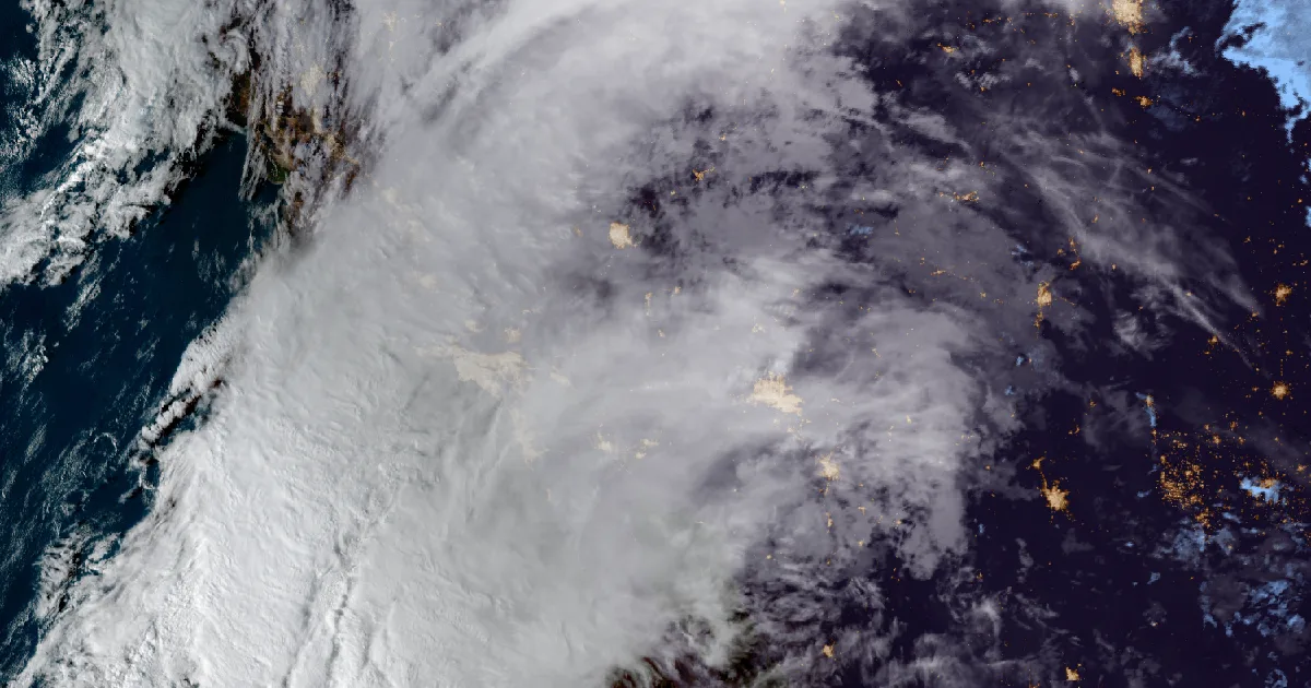
Flash Flood Warnings cover southern and central Arizona as Tucson and Flagstaff report 1 to 3 inches of rain
NWS Tucson and Flagstaff issued Flash Flood Warnings between 8:56 and 11:53 a.m. MST Sunday, with rain reports of 1 to 3 inches.

Key points
- Between 8:56 a.m. and 11:53 a.m. MST on Sunday, the National Weather Service offices in Tucson and Flagstaff issued Flash Flood Warnings for parts of at least nine Arizona counties. The text of several of them reads "Life threatening flash flooding."
- The Tucson warnings at 10:49 a.m. and 10:52 a.m. MST said "Multiple swift water rescues have been reported." The Flagstaff warning at 11:51 a.m. MST said between 1.5 and 3 inches of rain had fallen.
- As of the 6 a.m. Storm Prediction Center outlook, the Slight Risk for severe storms sits farther east, over New Mexico and the High Plains, with Arizona named for isolated severe gusts. The Arizona story is rain.
Sunday morning in Arizona
Most of Arizona's flash flood warnings came out of two offices in about three hours. Flagstaff started early. At 8:56 a.m. MST it warned for the Billy Fire scar in Gila County, where thunderstorms were dropping heavy rain on burned ground. At 9:41 a.m. it warned for the Paria River in Coconino County after a river gauge in southern Utah reported a rapid rise. Then the warnings spread across the state's middle.
By late morning the heavy rain had reached the Verde Valley and the Sedona area. The 11:00 a.m. Flagstaff warning put Oak Creek at Cornville at 16.39 feet at 10:00 a.m. against a flood stage of 8.0 feet. The same product had Oak Creek at Sedona at 13.8 feet at 10:45 a.m., with a flood stage of 14.0 feet. The 11:39 a.m. product reported Dry Beaver Creek near Rimrock at 11.93 feet against a flood stage of 12.0. Flagstaff's 11:51 a.m. warning, running until 5:45 p.m. MST, covered Gila, Coconino and Yavapai counties. It named Prescott Valley, Chino Valley, Cottonwood and Camp Verde, and sections of Interstate 40 and Interstate 17.
In the south, NWS Tucson issued the first of its warnings at 10:43 a.m. MST for south central Pima County. At 10:49 a.m. it widened to Cochise, Graham, Pima, Pinal and Santa Cruz counties, naming Tucson, Sahuarita and Green Valley. At 10:52 a.m. it posted a separate warning for Pima and Pinal counties, naming Tucson, Oro Valley, Marana and Catalina. Both of those products carry the line "Multiple swift water rescues have been reported, use caution when driving." The 11:53 a.m. warning, running until 3:00 p.m. MST, named Sierra Vista, Safford, Benson and Willcox in southeastern Arizona.
The rain amounts in the products are radar and gauge estimates, not final totals. The Tucson warnings said 1 to 2 inches had fallen where the heaviest rain was; Flagstaff said 1.5 to 3 inches.
The warnings, by issue time (MST)
| Issued | Office | Area | Until | Rain reported in the product |
|---|---|---|---|---|
| 8:56 a.m. | Flagstaff | Billy Fire scar, Gila | noon | radar: heavy rain on the scar |
| 9:41 a.m. | Flagstaff | Paria River, Coconino | 4:45 p.m. | rapid rise on a Utah gauge |
| 10:07 a.m. | Flagstaff | Gila, Coconino, Navajo | 6:00 p.m. | 1 to 2 in |
| 10:30 a.m. | Flagstaff | Gila, Yavapai | 4:30 p.m. | 1.75 to 2.75 in |
| 10:38 a.m. | Flagstaff | Yavapai | 1:45 p.m. | 1.5 to 2.5 in |
| 10:43 a.m. | Tucson | south central Pima | 1:45 p.m. | up to 1 in |
| 10:49 a.m. | Tucson | Cochise, Graham, Pima, Pinal, Santa Cruz | 2:00 p.m. | 1 to 2 in |
| 10:52 a.m. | Tucson | Pima, Pinal | 1:45 p.m. | 1 to 2 in |
| 11:00 a.m. | Flagstaff | Coconino, Yavapai | 2:15 p.m. | 1.75 to 3 in |
| 11:27 a.m. | Tucson | Pima, Santa Cruz | 2:30 p.m. | up to 1 in |
| 11:39 a.m. | Flagstaff | Yavapai | 3:00 p.m. | 1.5 to 2.5 in |
| 11:51 a.m. | Flagstaff | Coconino, Gila, Yavapai | 5:45 p.m. | 1.5 to 3 in |
| 11:53 a.m. | Tucson | Cochise, Graham, Pima, Santa Cruz | 3:00 p.m. | up to 1 in |
Source: NWS Flash Flood Warning products, api.weather.gov, read at 18:59Z on November 1, 2026. Rain amounts are as stated in each product at its issue time. Some products were extensions of earlier ones.
Elsewhere, officially
As of the 6 a.m. CDT Storm Prediction Center Day 1 outlook, the highest category is Slight. The summary says thunderstorms capable of scattered severe winds and a few tornadoes will become a concern across much of New Mexico into the southern and central High Plains from late afternoon through tonight, with isolated severe gusts and perhaps a tornado possible in parts of Arizona. The National Hurricane Center lists no active storms.
This is a morning summary, not emergency information. For live warnings see weather.gov and your local officials. Local NWS offices: Tucson and Flagstaff.
The rock's live forecast for the places in this story
More from the Weather Beat
More from the Journal

Follow the Journal: RSS · get it by email