THE WEATHER BEAT · OCT 31
Major flooding forecast on the San Juan River at Pagosa Springs as Southwest flood watches cover five states
NWS Grand Junction forecasts a 17.0 ft crest at Pagosa Springs by Monday, and ten NWS offices have flood watches out across the Southwest.

Key points
- NWS Grand Junction has a Flood Warning for the San Juan River at Pagosa Springs, Colorado, with major flooding forecast. The product puts the crest at 17.0 feet early Monday, against a flood stage of 10.5 feet.
- A second Grand Junction warning covers the La Plata River at Hesperus, Colorado, with minor flooding forecast and a crest of 5.8 feet late Sunday evening.
- Flood Watches from ten NWS offices cover parts of Arizona, New Mexico, Colorado, Utah and Nevada. Forecasters in Phoenix and Flagstaff both describe a second round of rain on soil already wet from the first.
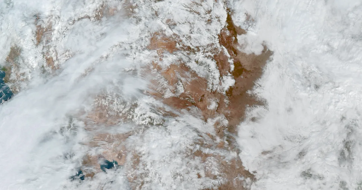
A slow storm system is pulling moisture over the Four Corners region, and Saturday's wire shows it in warnings and watches across five states.
The most serious product is the Flood Warning for the San Juan River at Pagosa Springs. NWS Grand Junction issued it at 9:42 a.m. MDT Saturday and called for major flooding. At 9:00 a.m. the stage was 7.0 feet, the product said. The river is expected to rise above flood stage (10.5 feet) Sunday afternoon and crest at 17.0 feet early Monday. It should fall below flood stage Monday afternoon. The product says this crest compares to a previous crest of 17.8 feet on 10/05/1911.
Upstream on the La Plata River, a separate warning from the same office, issued at 9:50 a.m. MDT, forecasts minor flooding at Hesperus. The stage was 4.1 feet at 9:30 a.m. Saturday. The river is forecast to cross flood stage (5.5 feet) Sunday evening, crest at 5.8 feet late Sunday evening and fall below flood stage early Monday. The product lists a previous crest of 5.8 feet on 05/21/2005.
| Product (Saturday, Oct 31) | Office | Where | What it says |
|---|---|---|---|
| Flood Warning, 9:42 a.m. MDT | Grand Junction | San Juan River at Pagosa Springs, Archuleta Co. CO | Major flooding forecast; crest 17.0 ft early Monday; flood stage 10.5 ft |
| Flood Warning, 9:50 a.m. MDT | Grand Junction | La Plata River at Hesperus, La Plata Co. CO | Minor flooding forecast; crest 5.8 ft late Sunday; flood stage 5.5 ft |
| Flood Watch | Phoenix | Phoenix metro, Maricopa and Pinal Counties, southern Gila County | Flash flooding possible this evening through late Sunday night; 1 to 2 inches more |
| Flood Watch | Flagstaff | Northern and central Arizona | 11 p.m. MST Saturday to 5 a.m. MST Monday; 1 to 3 inches more on saturated ground |
| Flood Watch | Albuquerque | Northwest, north central and west central New Mexico | Through Monday morning; 1 to 2 inches near and west of the Continental Divide |
| Flood Watch | Pueblo | Eastern San Juan Mountains, Upper Rio Grande Valley, San Luis Valley | Heaviest risk along the Conejos River and Rio Grande, including Del Norte and Mogote |
| Flood Watch | Grand Junction | Southwest Colorado and southeast Utah | 1 to 3 inches of rain Sunday into Monday on saturated soil |
*Source: NWS Flood Warning and Flood Watch products, issued October 31, 2026. Amounts, stages and crest forecasts are those in the products. A forecast crest can change in the next statement.*
Saturday morning also brought short-fuse flood warnings in Arizona. Phoenix warned for Tonto Creek in Gila County, where low-water crossings were inundated, and for the Salt River below Granite Reef Dam in Maricopa County. Both were set to expire Saturday afternoon. In Florida, NWS Melbourne continued a Flood Warning for the St. Johns River near Astor, where the product forecasts moderate flooding. That one is a separate story, driven by persistent northeast winds and tidal effects, and it has no link to the Southwest system.
Winter Storm Warnings are also posted for the San Juan Mountains above 10,000 feet, and the Pueblo watch for the Rio Grande basin cites rain and melting snow. The Storm Prediction Center's Day 1 outlook shows no organized severe thunderstorms through tonight.
The next statement on the Pagosa Springs warning is due Monday morning at 8:45 a.m. MST, and the La Plata statement at 9:00 a.m. MST. A reader can test this story against them: did the San Juan River crest at, above or below the 17.0 feet forecast, and did it come near the 17.8 feet of 1911?
A watch means conditions are right for flooding, and a warning means it is happening or forecast for a named river. The Weather School lesson on watches, warnings and advisories goes through the difference. This is a summary of official warnings, not emergency information. For live warnings see weather.gov and your local officials.
The rock's live forecast for the places in this story
More from the Weather Beat
More from the Journal
 THE WEATHER BEAT
One weak tornado near Danbury, Wisconsin, inside Wednesday's 5 percent line, and hail to 3 inches in Minnesota
OCT 29
 THE WEATHER BEAT
The Purgatoire and the Rio Chama come in under their old marks, as the Rio Puerco makes a second rise near Bernardo
OCT 28
 EXPLAINERS
Why Is the Sky Blue?
AUG 20
Follow the Journal: RSS · get it by email