THE WEATHER BEAT · OCT 30
First flash flood warnings under the West Texas flood watch: Howard, Mitchell, Scurry, Dawson and Gaines counties
NWS Midland/Odessa issued two flash flood warnings at 11:43 a.m. CDT Friday for five counties, with 1 to 2 inches of rain reported at issue time.

Key points
- NWS Midland/Odessa issued two Flash Flood Warnings at 11:43 a.m. CDT Friday for five West Texas counties: Howard, Mitchell and Scurry in one, Dawson and Gaines in the other.
- The products reported 1 to 1.5 inches of rain in the first area and 1.5 to 2 inches in the second at issue time, from radar and automated gauges.
- They were the first warnings under the Flood Watch that covered the Permian Basin through Friday evening. Both expired at 1:15 p.m. CDT.
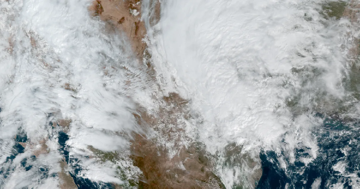
Earlier in the week the story was a watch: forecasters said Gulf moisture and leftover moisture from an eastern Pacific storm could bring heavy rain to West Texas. Friday morning brought the first warnings under that watch.
At 11:43 a.m. CDT, NWS Midland/Odessa issued a Flash Flood Warning for Howard, Mitchell and Scurry counties. The product said radar and automated rain gauges showed between 1 and 1.5 inches had fallen and that flash flooding was occurring. It named Big Spring, Snyder, Colorado City, Coahoma and Loraine among the places affected. A second warning, issued the same minute, covered Dawson and Gaines counties, with 1.5 to 2 inches reported and Lamesa, Seminole and Seagraves among the places named. Both listed the same impacts: small creeks and streams, urban areas, highways, streets and underpasses, and other low-lying places with poor drainage. Both were set to expire at 1:15 p.m. CDT.
| Warning (issued 11:43 a.m. CDT) | Counties | Rain reported at issue time | Places named |
|---|---|---|---|
| Flash Flood Warning | Howard, Mitchell, Scurry | 1 to 1.5 inches | Big Spring, Snyder, Colorado City, Coahoma, Loraine |
| Flash Flood Warning | Dawson, Gaines | 1.5 to 2 inches | Lamesa, Seminole, Seagraves |
*Source: NWS Midland/Odessa Flash Flood Warning products, source line "Radar and automated gauges." Rain amounts are those in the products at issue time.*
The wire also showed a Flood Warning for the Rio Grande in Brewster County, issued at 9:47 a.m. CDT, and one from NWS Topeka for the Big Blue River near Blue Rapids, Kansas. The Kansas product put the stage at 28.9 feet at 7:15 a.m. CDT, against a flood stage of 26.0 feet, and forecast it to fall below flood stage late Friday afternoon. The Storm Prediction Center's Day 1 outlook was Marginal, with an isolated severe risk on the middle Texas coast and in central to southern Arizona. SPC storm reports and Weather Prediction Center rainfall products could not be reached from the wire tool (HTTP 403), so this brief does not use them.
A watch means the setup is there, and a warning means it is happening. The Weather School lesson on watches, warnings and advisories goes through the difference. This is a summary of official warnings, not emergency information. For live warnings see weather.gov and your local officials.
The rock's live forecast for the places in this story
More from the Weather Beat
More from the Journal

Follow the Journal: RSS · get it by email