THE WEATHER BEAT · OCT 22
Moenkopi Wash runs more than 9 feet above flood stage near Tuba City, and the Paria River peaks near 2,500 cubic feet per second
Overnight gauges: Moenkopi Wash at 36.38 ft against a 27 ft flood stage, the Paria near 2,500 cfs, and 3.5 inches in Santa Barbara County.


Key points
- At 5:45 a.m. MST Thursday, the Moenkopi Wash gauge near Tuba City, Arizona, read 36.38 feet. Flood stage there is 27.0 feet. NWS Flagstaff kept a Flood Warning in force on the wash and the Little Colorado River until 2 p.m. MST.
- In southern Utah, NWS Salt Lake City said the Paria River at Highway 89 peaked at nearly 2,500 cubic feet per second overnight, and the Escalante River below Escalante reached a 6-foot stage. Gauges in eastern Santa Barbara County, California, measured 1 to 3.5 inches of rain by 6:12 a.m. PDT.
- Flagstaff's 530 a.m. MST discussion calls the moisture "record amounts of atmospheric moisture for this time of year". It expects a cold front to move the storms east between Thursday afternoon and Friday morning, with drier weather on Friday.

Overnight, the gauges answered
For two days this story was about watches. Overnight it turned into gauge readings. Before dawn the rain had fallen on ground that Flagstaff's discussion called "saturated across northern Arizona", and the rivers rose.
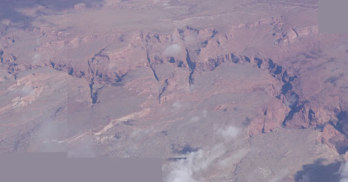
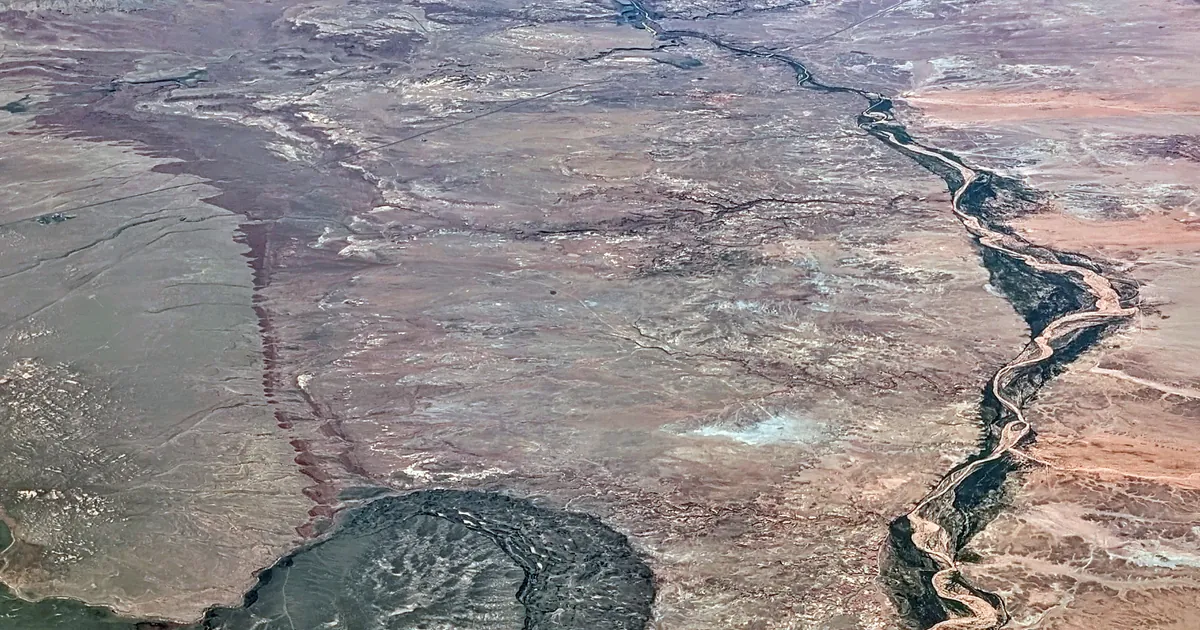
The highest reading was on the Moenkopi Wash. Yesterday afternoon's story reported a rise of around 8 feet there. By 5:45 a.m. MST Thursday, the gauge near Tuba City read 36.38 feet, more than 9 feet above its 27-foot flood stage. The Flagstaff warning says that at 27 feet, water begins to encroach on homes in lower Moenkopi Village and floods the crop fields along the river. It also reports elevated flow on the Little Colorado River near Cameron, and names Salt Trail Canyon, Blue Water Base Camp and Old Fish Camp Site. Farther east, Chinle Creek at Chinle in Canyon de Chelly reached a 3.4-foot stage at 3 a.m., below its 4-foot flood stage. Flagstaff kept that warning in force through the morning for the land downstream.
Across the state line in Utah, the Salt Lake City office said radar and automated rain gauges showed 1 to 2 inches of rain at the headwaters of the Paria and Escalante rivers and Wahweap Creek. The Paria at Highway 89 peaked at nearly 2,500 cubic feet per second overnight. The office said those flood waves would keep moving downstream through the morning, across the Glen Canyon National Recreation Area, and that many backcountry roads there were expected to become impassable. Grand Junction's warning for San Juan County, Utah, put the rain already fallen at 1 to 3 inches, and named Monticello, Mexican Hat and Bluff.
On the coast, the Los Angeles office issued its Flash Flood Warning from gauge reports: 1 to 3.5 inches in east central Santa Barbara County, with rock slides and mud slides expected. It names northern Goleta, Mission Canyon and Highway 154 over San Marcos Pass.
| Product | Office | Area | Measured | Source line | Issued | In force until |
|---|---|---|---|---|---|---|
| Flood Warning | Flagstaff AZ | Moenkopi Wash, Little Colorado River, Coconino | 36.38 ft at 5:45 a.m. MST, flood stage 27.0 ft | gauge | 6:44 a.m. MST Thu | 2 p.m. MST Thu |
| Flash Flood Warning | Flagstaff AZ | Chinle Creek, Apache | 3.4 ft at 3 a.m., flood stage 4.0 ft | river gauge reported | 2:32 a.m. MST Thu | 8:15 a.m. MST Thu |
| Flood Warning | Salt Lake City UT | Garfield, Kane, San Juan | Paria near 2,500 cfs peak, Escalante 6 ft peak, 1 to 2 in fallen | radar and rain gauges | 6:16 a.m. MDT Thu | 12:15 p.m. MDT Thu |
| Flood Warning | Grand Junction CO | San Juan UT | 1 to 3 in fallen | radar and rain gauges | 7:35 a.m. MDT Thu | 7:30 p.m. MDT Thu |
| Flash Flood Warning | Los Angeles/Oxnard CA | east central Santa Barbara | 1 to 3.5 in fallen | gauges reported | 6:12 a.m. PDT Thu | 9:15 a.m. PDT Thu |
| Flash Flood Warning | Salt Lake City UT | Zion, Springdale, Rockville, Kanarraville | 0.25 to 0.5 in fallen | radar indicated | 7:31 a.m. MDT Thu | 10:30 a.m. MDT Thu |
| Flash Flood Warning | Salt Lake City UT | La Verkin, Virgin | 0.5 to 0.75 in fallen | radar indicated | 7:16 a.m. MDT Thu | 10:15 a.m. MDT Thu |
| Flash Flood Warning | Phoenix AZ | Sycamore Burn Scar, Gila | up to 0.75 in fallen | radar indicated | 5:48 a.m. MST Thu | 8 a.m. MST Thu |
*Source: NWS alert products on api.weather.gov, read at 13:55Z October 22. Stage, flow and rainfall figures are each warning's own. "Measured" is quoted as the product gives it; a radar-indicated amount is an estimate, not a gauge reading. The Flagstaff Flood Warning's WHEN line reads "Until 200 PM MST /300 PM MDT/ Tonight"; this table follows its expiry field, 2 p.m. MST.*
Today, officially
As of the Day 1 outlook on the wire at 13:55Z, the Storm Prediction Center's highest risk category is Slight. Its summary expects "scattered severe thunderstorms" across the Southwest into tonight, with the strongest cells over Arizona and western New Mexico this afternoon and evening, and says "large hail, damaging winds, and a few tornadoes all appear possible." Overnight, Severe Thunderstorm Watch 691 covered Coconino, Navajo, Apache and Yavapai counties until 10 a.m. MST, and Watch 692 covered Gila, Maricopa, Pinal, Graham and Greenlee counties, including Phoenix and Mesa, until 11 a.m. MST.
Flagstaff's discussion gives the setup in plain terms. An "unusually deep low-pressure system off the southern California coast" is pulling a subtropical moisture plume into Arizona. The office says the cold front behind it will move the severe weather and flash flood risk east from later Thursday afternoon through Friday morning, and that drier, more stable air behind it will stop storms from forming. It expects Friday to be drier, and below-normal temperatures with more showers on Saturday.
| Product | Office | Area | In force until |
|---|---|---|---|
| Severe Thunderstorm Watch 691 | Flagstaff AZ | Apache, Coconino, Navajo, Yavapai | 10 a.m. MST Thu |
| Severe Thunderstorm Watch 692 | Phoenix AZ, Tucson AZ | Gila, Maricopa, Pinal, Graham, Greenlee | 11 a.m. MST Thu |
*Source: the SPC Day 1 outlook summary as the house wire printed it at 13:55Z (the wire printed no issue time), and the NWS Flagstaff Area Forecast Discussion, 530 a.m. MST October 22.*
What the reader can check
The table's last column but one shows each warning's source line. Some were issued from what a gauge measured, others from what radar estimated. The Weather School page on how radar works explains why those two are not the same number. Tomorrow's gauges on the Paria and the Moenkopi will show whether the front cleared the rain as Flagstaff's discussion expects.
This is a morning summary, not emergency information. For live warnings see weather.gov and your local officials.
More from the Weather Beat
More from the Journal
 THE WEATHER BEAT
A low of 34 and frost anyway: what West Virginia's advisory says, and the shirt for a clear cold night
OCT 20
 THE WEATHER BEAT
Watch or warning? Interior Alaska's snowstorm splits: the mountains now under warnings, Fairbanks still on a watch
OCT 19
 EXPLAINERS
Why Is the Sky Blue?
AUG 20
Follow the Journal: RSS · get it by email