THE WEATHER BEAT · EXPLAINER · OCT 12
A flash flood on a schedule: how Sunday's storms sent a flood wave down the Paria River toward Lees Ferry
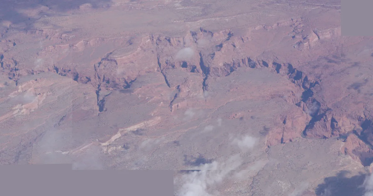
A Paria River gauge rose 3 feet before dawn Monday from Sunday's storms, and NWS Flagstaff timed the water's arrival at Lees Ferry hours later.


Key points
- Before dawn Monday, the Paria River gauge at US-89 in southern Utah rose 3 feet and its flow went up to 2,200 cubic feet per second. NWS Salt Lake City said the rise came from "a flood wave" moving down the river and through Paria Canyon.
- The storms behind it fell on Sunday. NWS Flagstaff's 4:16 a.m. MST warning said the rise came "from thunderstorms that occurred on Sunday over the Paria River." Its timetable put the water at Lees Ferry and the Colorado River between noon and 2 p.m. MST Monday.
- This is how a flash flood can be scheduled. A gauge upstream sees the water first, and the forecasters downstream count the hours. In a slot canyon, a dry sky overhead says nothing about the water on its way.
.jpg)
A flash flood with a timetable
Most of us think of a flash flood as something that happens where the rain falls: a hard storm, a street that fills, a creek over its banks within the hour. Monday's Paria River warnings show the other kind. The rain had come and gone, and the flood was still on its way.
The rain. NWS Flagstaff traced Monday's water to "thunderstorms that occurred on Sunday over the Paria River." The country around it had been wet for days. The office's Flood Watch for western Coconino, northern Gila, far southern Navajo and Yavapai counties, issued at 12:31 a.m. MST Monday, spoke of "tropical moisture in place from the remnants of Tropical Storm Rachel and already saturated grounds." On wet ground, more of the rain runs off instead of soaking in.
The gauge. A river gauge is a fixed instrument that keeps reporting the water's height and flow. Before dawn, the one on the Paria River at US-89 caught the water arriving. NWS Salt Lake City wrote that at 4:30 a.m. the gauge "indicated a rise of 3 feet as the flood wave passed, with an increase in flow to 2200 CFS." CFS means cubic feet per second, the volume of water passing the gauge each second. The office issued a Flash Flood Warning for Kane County at 5:52 a.m. MDT. Its source line reads "Gauges reported." That means a measurement, not a radar estimate. As of that warning, the flood wave "was moving down the Paria River and through Paria Canyon."
The schedule. Downstream, NWS Flagstaff did what a forecaster can do once a river has spoken. Its Flash Flood Warning for Coconino County went out at 4:16 a.m. MST, before the Utah product. It covered Lees Ferry, Vermilion Cliffs National Monument, the Lees Ferry Camp Site and the Colorado River near mile marker 0. Then it gave a time: "Flood waters will flow down the Paria River, reaching the confluence with the Colorado River at Lees Ferry between 12 PM and 2 PM MST." By the two offices' own clocks, that is roughly eight to ten hours after the rise at the gauge.
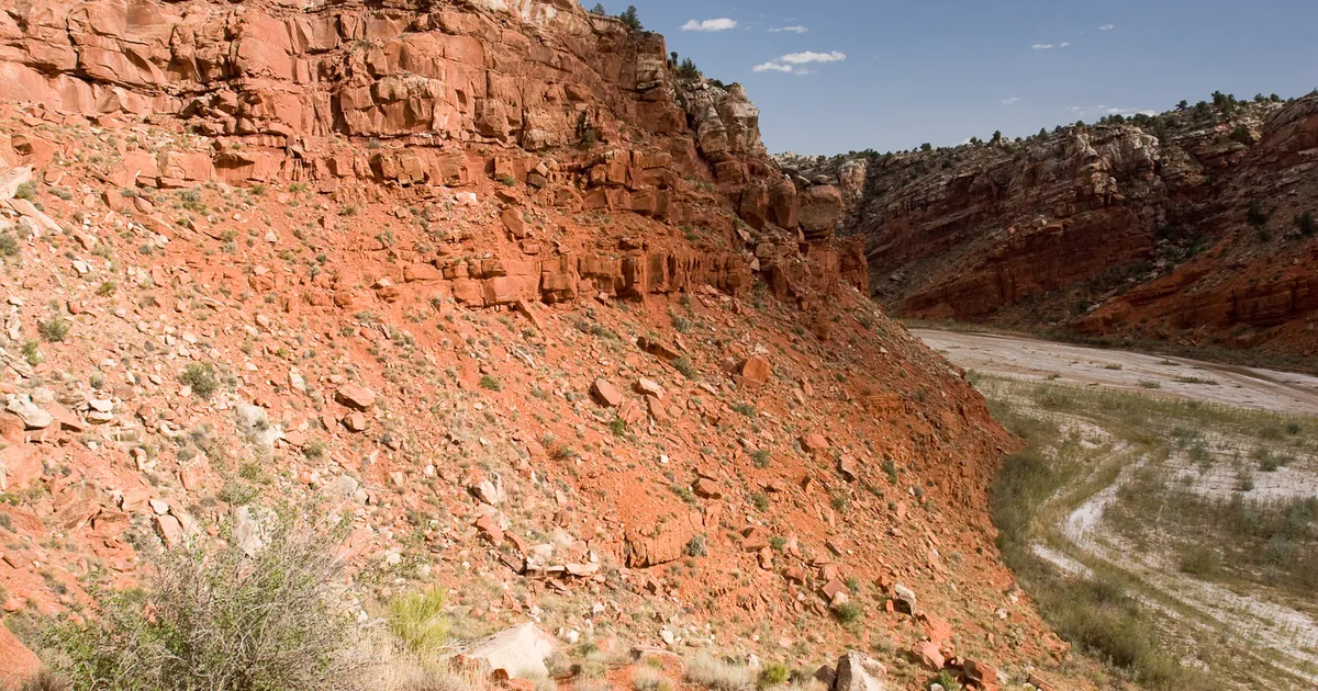
Why it matters in a canyon. A hiker deep in a slot canyon on Monday morning may have no storm overhead and no rain on the rock, while the water from Sunday's thunderstorms is still coming down the canyon. That is why Flagstaff's instruction starts as plainly as it does: "Get out of the Paria River slot canyon!" It goes on: "Get out of washes and creeks if you are camping or hiking!" Salt Lake City's warning ends with the line every flash flood product carries: "Turn around, don't drown when encountering flooded roads. Most flood deaths occur in vehicles."
A detail to read twice. The Flagstaff warning runs until 11:15 a.m. MST. Its own timetable has the water reaching Lees Ferry between noon and 2 p.m. MST. A warning's end time is the office's next decision point, not a promise that the water will be gone. Anyone near the river should check weather.gov/flagstaff for the latest product rather than trust the clock printed in the first one.
| Product | Office, issued | In effect until | What it says |
|---|---|---|---|
| Flood Watch: western Coconino, northern Gila, far southern Navajo, Yavapai AZ | Flagstaff, 12:31 a.m. MST Mon | 5 p.m. MST Mon | Flash flooding possible; "remnants of Tropical Storm Rachel and already saturated grounds" |
| Flash Flood Warning: Coconino AZ (Paria River, Lees Ferry) | Flagstaff, 4:16 a.m. MST Mon | 11:15 a.m. MST Mon | Gauge near US-89 rose 3 ft "from thunderstorms that occurred on Sunday"; water at Lees Ferry 12 to 2 p.m. MST |
| Flash Flood Warning: Kane UT (Paria River, Paria Canyon) | Salt Lake City, 5:52 a.m. MDT Mon | 11 a.m. MDT Mon | Gauge at US-89 rose 3 ft at 4:30 a.m.; flow up to 2,200 cfs; source: gauges reported |
*Source: NWS Flagstaff and Salt Lake City products as issued, read from api.weather.gov at 13:40Z October 12, 2026. The two offices give different times for the gauge rise: Salt Lake City says 4:30 a.m. (its product runs on MDT), and Flagstaff says 4:16 a.m. MST, which is 5:16 a.m. MDT. Both are quoted as written. The eight to ten hours is this desk's arithmetic from those times and Flagstaff's noon to 2 p.m. MST arrival window.*
Yesterday's story followed Rachel's remnants to Zion, the Forsyth burn scar and Salt Lake City. For more on the difference between a watch and a warning, the Weather School's lesson on watches, warnings and advisories goes further.
This is a summary of official warnings, not emergency information. For live warnings see weather.gov and your local officials, and for the Lees Ferry area see weather.gov/flagstaff.
The rock's live forecast for the places in this story
More from the Journal
 THE WEATHER BEAT
Montana under Winter Storm Warnings from three offices, with up to 20 inches of heavy, wet snow on the Rocky Mountain Front
OCT 10
THE WEATHER BEAT
Montana under Winter Storm Warnings from three offices, with up to 20 inches of heavy, wet snow on the Rocky Mountain Front
OCT 10
 THE WEATHER BEAT
Isaias reaches 110 mph overnight with landfall expected tonight, as High Wind Watches stretch to Atlanta and Chattanooga
OCT 9
THE WEATHER BEAT
Isaias reaches 110 mph overnight with landfall expected tonight, as High Wind Watches stretch to Atlanta and Chattanooga
OCT 9
 EXPLAINERS
Why Is the Sky Blue?
AUG 20
EXPLAINERS
Why Is the Sky Blue?
AUG 20
Follow the Journal: RSS · get it by email