THE WEATHER BEAT · OCT 11
Rachel's remnants bring flash flooding to Zion and the Forsyth burn scar, and Flood Advisories to Salt Lake City
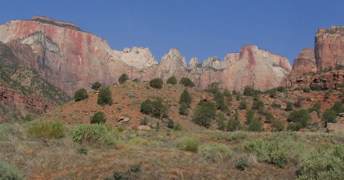
The National Park Service reported flash flooding at Zion on Sunday evening, and Utah's Flood Watches run through Monday afternoon.

Key points
- On Sunday evening NWS Salt Lake City extended two Flash Flood Warnings in southern Utah. The first was for Zion National Park, Springdale and Rockville after the National Park Service reported flash flooding at 5:54 p.m. MDT. The second was for the Forsyth burn scar near Pine Valley after emergency management reported flooding there at 6:04 p.m. MDT.
- Thunderstorms over Salt Lake County brought two Flood Advisories. At 6:41 p.m. MDT the public reported minor flooding over SR-190 in Big Cottonwood Canyon. Red Butte Creek near 1600 East was reported running above action stage.
- Flood Watches from the Salt Lake City office cover most of Utah through Monday afternoon. Watches from Las Vegas, Flagstaff and Elko run into early Monday. The Salt Lake City and Flagstaff watches both name the remnants of Tropical Storm Rachel as the moisture source.
Rachel's rain reaches the canyons
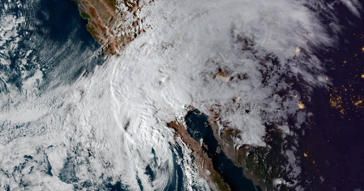
On Saturday, Rachel was still a tropical storm south of San Diego and the Flood Watches over the Southwest were forecasts. By Sunday evening its moisture had reached southern Utah, and the warnings there were reporting flooding, not just forecasting it.
At 5:54 p.m. MDT, NWS Salt Lake City extended its Flash Flood Warning for western Kane County and eastern Washington County. The warning said National Park Service officials had reported thunderstorms with heavy rain and flash flooding across Zion National Park, with half an inch to an inch and a half of rain. It named Zion, Springdale and Rockville, and it warned of flash flooding in "creeks, streams, slot canyons, and normally dry washes." That warning ran until 8 p.m. MDT.
Ten minutes later the office extended a second warning, this one for the Forsyth burn scar in central Washington County. Emergency management had reported heavy rain on the scar and flooding in Pine Valley. Between 1.5 and 3 inches had fallen, and gauges on the Santa Clara River above Baker Reservoir were still running high. The warning said rain on the scar would produce debris flow, "rock, mud, vegetation and other loose materials." It named Utah Route 18 between mile markers 26 and 27 and ran until 9:15 p.m. MDT.
| Product (NWS Salt Lake City) | Issued | Until | Reported by | Rain fallen | Places named |
|---|---|---|---|---|---|
| Flash Flood Warning, Kane and Washington counties | 5:54 p.m. MDT | 8:00 p.m. MDT | National Park Service | 0.5 to 1.5 in | Zion National Park, Springdale, Rockville |
| Flash Flood Warning, Forsyth burn scar, Washington County | 6:04 p.m. MDT | 9:15 p.m. MDT | Emergency management | 1.5 to 3 in | Pine Valley, Utah Route 18 mile markers 26 to 27 |
*Sources: the two NWS Salt Lake City Flash Flood Warnings named above. Rain totals are as reported in the warnings and are not gauge-verified here.*
Salt Lake City's canyons and creeks
Storms also reached the Wasatch Front. The office issued a Flood Advisory at 6:34 p.m. MDT for central Salt Lake County, covering Salt Lake City, the University of Utah and Sugarhouse. It said radar and automated gauges showed up to three quarters of an inch of rain, and that Red Butte Creek near 1600 East was running above action stage. The advisory pointed to 9th South and 9th East as the low spots to watch.
A second advisory at 6:44 p.m. MDT covered southeastern Salt Lake County. It cited a public report of minor flooding over SR-190 in Big Cottonwood Canyon, where up to an inch of rain had fallen. It listed both Cottonwood canyons along with Sandy, Draper, Murray, Holladay, Millcreek and Cottonwood Heights.
| Product (NWS Salt Lake City) | Issued | Until | Report | Rain fallen |
|---|---|---|---|---|
| Flood Advisory, central Salt Lake County | 6:34 p.m. MDT | 9:30 p.m. MDT | Red Butte Creek above action stage near 1600 E | up to 0.75 in |
| Flood Advisory, southeastern Salt Lake County | 6:44 p.m. MDT | 9:45 p.m. MDT | minor flooding over SR-190, Big Cottonwood Canyon | up to 1 in |
*Sources: the two NWS Salt Lake City Flood Advisories named above.*
Today, officially: the watches into Monday
Salt Lake City's two Flood Watches, issued at 6:42 a.m. MDT Sunday, run through Monday afternoon. Between them they cover most of the state, from Zion, Bryce Canyon, Capitol Reef and Lake Powell to the Salt Lake and Utah valleys, Cache Valley and Bear Lake. The southern watch calls this "a long duration rainfall event" with "saturated soils and prior burn scars," and it names the Forsyth, Cottonwood, Silver King, France Canyon and Monroe Canyon scars. The northern watch says a front over far northern Utah may produce heavier totals there.
Next door, Flagstaff's watch covers the Grand Canyon country, the Mogollon Rim and Oak Creek Canyon through late tonight. It warns again of "raging killer currents" in side canyons and slot canyons. The Las Vegas office's watch covers the Las Vegas Valley, Lake Mead, Lake Mohave and Lake Havasu until 5 a.m. PDT Monday. Elko's watch for eastern Nevada runs to the same hour and warns of debris flows near old fire scars.
| Office | Issued | Area (abridged) | Through | Cause as the product states it |
|---|---|---|---|---|
| Salt Lake City (south) | 6:42 a.m. MDT | Zion NP, Lower Washington County, Bryce Canyon, Capitol Reef, Lake Powell, Sevier Valley | Monday afternoon | "remnants of Tropical Storm Rachel" |
| Salt Lake City (north) | 6:42 a.m. MDT | Salt Lake Valley, Utah Valley, Northern Wasatch Front, Cache Valley, Bear Lake | Monday afternoon | "remnants of Tropical Storm Rachel" |
| Flagstaff | 11:08 a.m. MST | western Coconino, northern Gila, far southern Navajo and Yavapai counties | late tonight | "remnants of Tropical Storm Rachel" |
| Las Vegas | 11:55 a.m. PDT | Las Vegas Valley, Lake Mead, Lake Mohave, Lake Havasu, Lincoln County | 5 a.m. PDT Monday | "incoming tropical moisture" |
| Elko | 4:33 p.m. PDT | Elko and White Pine counties, Ruby Mountains, northern Nye County | 5 a.m. PDT Monday | "decaying Hurricane Rachel" |
*Sources: the NWS Flood Watches named in the table. Forecasts, not measurements. Elko's text calls the storm "decaying Hurricane Rachel"; the National Hurricane Center carried Rachel as a tropical storm, and Salt Lake City and Flagstaff use that classification. This story follows the Center.*
Saturday's story on Rachel's approach and the first Southwest watches is at /journal/beat/rachel-southwest-flood-watches-coastal-flood-warnings-2026-10-10/. Friday's story on the San Diego watch is at /journal/beat/rachel-tropical-storm-watch-san-diego-county-2026-10-09/.
This is a summary of official warnings, not emergency information. For live warnings see weather.gov and your local officials. NWS Salt Lake City: https://www.weather.gov/slc/ Flood safety: https://www.weather.gov/safety/flood
The rock's live forecast for the places in this story
More from the Journal

.jpg)
Follow the Journal: RSS · get it by email