THE WEATHER BEAT · SEP 30
Saipan and Tinian go under a Tropical Storm Watch as 26W heads for the Marianas
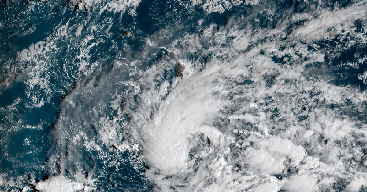
The Guam weather office expects Tropical Depression 26W to slow near the Northern Marianas, with tropical storm conditions possible Thursday evening into.


Key points
- The National Weather Service office in Tiyan, Guam issued a Tropical Storm Watch for Saipan and Tinian at 10:11 p.m. ChST on Wednesday, 30 September. A watch was already in effect for Alamagan, Pagan and Agrihan.
- As of 9 p.m. ChST, Tropical Depression 26W was about 340 miles east-southeast of Pagan, moving west at 8 mph with top winds of 35 mph.
- The office expects the storm to slow as it turns north near and just west of the islands. That would mean a long spell of tropical storm conditions from Thursday evening into Sunday afternoon.
Today, officially
Hurricane season in the western Pacific doesn't follow the Atlantic calendar, and the Northern Mariana Islands have one more week of it to prepare for. On Wednesday night local time, the Weather Service office on Guam added Saipan and Tinian and their coastal waters to the Tropical Storm Watch. The three northern islands of Alamagan, Pagan and Agrihan were already under it.
The storm is Tropical Depression 26W. As of 9 p.m. Chamorro Standard Time it sat about 340 miles east-southeast of Pagan, drifting west at 8 mph with sustained winds of 35 mph. That is just under tropical storm strength. The office's statement says the forecast track has 26W strengthening as it moves through the Marianas just north of Anatahan on Friday, then curving north just west of the islands by Saturday.
The turn is what matters most. In the office's words, the storm will come "to a crawl near and just west of the islands as it makes the turn to the north late week." A slow storm doesn't pass quickly. For Saipan, Tinian and the northern islands, the office describes a long stretch of tropical storm conditions starting Thursday evening and running into Sunday afternoon.
On Saipan and Tinian, winds from the northwest at 10 to 15 mph are forecast to back to the west and then southwest, strengthening through Friday morning. The office says they may reach tropical storm force, 39 to 45 mph with gusts to 65 mph, starting Thursday evening. It also says the strongest tropical storm winds look to stay north of Saipan and Tinian for now.
A watch is not a warning. A Tropical Storm Watch means tropical storm conditions are possible somewhere in the watch area within 48 hours. The office asks everyone in the watch area to review their preparedness plan now. Its statement also says: "Strongly consider evacuating if you live in a metal roof or container home, and do so if ordered by local officials."
| Item | As issued |
|---|---|
| Storm | Tropical Depression 26W |
| Position, 9 p.m. ChST 30 Sep | about 340 miles ESE of Pagan |
| Motion | west at 8 mph, steady near 10 mph toward the northern Marianas |
| Maximum sustained winds | 35 mph |
| Watch, new | Saipan, Tinian and adjacent coastal waters |
| Watch, continuing | Alamagan, Pagan, Agrihan |
| Wind, Saipan and Tinian | possibly 39 to 45 mph, gusts to 65 mph, from Thursday evening |
| Expected window | Thursday evening into Sunday afternoon, per the office |
| Track | north of Anatahan Friday, curving north just west of the islands by Saturday |
*Source: NWS Tiyan GU Tropical Storm Watch and local statement, sent 10:11 p.m. ChST 30 September 2026 (12:11Z), and the coastal waters watch sent 9:35 p.m. ChST. Times are Chamorro Standard Time (UTC+10).*
Elsewhere in the Pacific, the National Hurricane Center's 15:00Z advisories list Hurricane Rachel at 75 kt and Tropical Depression Nineteen-E at 30 kt in the eastern Pacific. The Central Pacific basin has Tropical Storm Nolo at 50 kt. In the Atlantic there is Potential Tropical Cyclone Hanna at 30 kt. None of those advisories carries a US watch or warning.
This is a morning summary, not emergency information. For live warnings see weather.gov and your local officials. The Guam office posts its products at https://www.weather.gov/gum/, and preparedness guidance is at https://www.ready.gov/.
More from the Journal


Follow the Journal: RSS · get it by email