EXPLAINERS · AUG 13
Warm Fronts, Cold Fronts, and How to Read the Map
Weather fronts explained plainly: what an air mass is, why a cold front hits fast while a warm front creeps, and what the map symbols promise.

Grounded in National Weather Service definitions; suitable for classrooms and other curious humans.
An air mass is a huge body of air that has sat somewhere long enough to take on that place's temperature and moisture. A front is the boundary where two of them meet. A cold front wedges under the warm air ahead of it and shoves it up fast, so its weather is short, sharp, and followed by clearing. A warm front slides up a long shallow ramp over the cool air ahead, so its weather arrives a day early as thickening clouds and settles in as steady rain. On the map: blue triangles for cold, red half circles for warm, both pointing the way the front is moving.
First, the air mass
Air takes on the personality of whatever it sits over. Park a body of air over central Canada for a week in January and it comes out cold and dry. Let one loaf over the Gulf of Mexico and it comes out warm and loaded with moisture. Each of these is an : a body of air hundreds of miles across that is roughly the same temperature and humidity all the way through.
Most of a continent's day to day weather is the story of these air masses shoving each other around. The interesting part is never the middle of one, where the weather is a rerun. The interesting part is the boundary.
The front is the boundary
Where two air masses meet, they do not blend like creamer into coffee. Cold air is denser than warm air, so the two stay layered and distinct, and the boundary between them is a . Nearly all of the clouds and precipitation on a weather map are queued up along one front or another, because a front is where air gets lifted, and lifted air is how the sky makes weather.
Which kind of front you get depends on who is advancing.
The cold front: a wedge
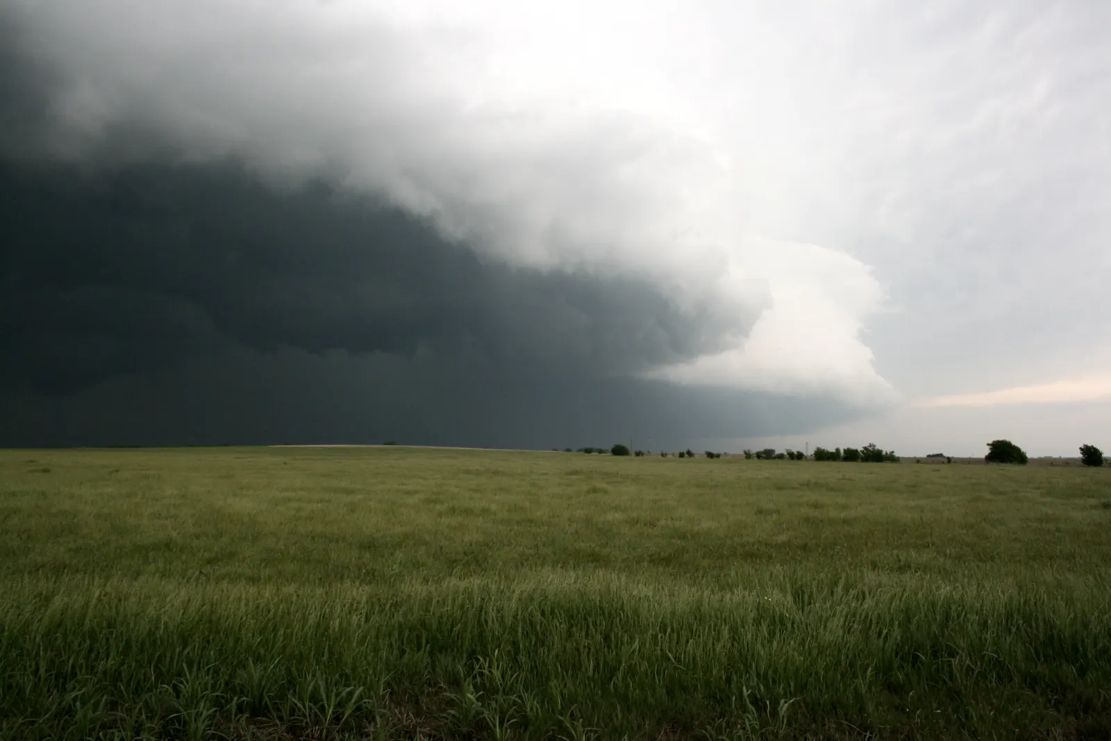
When the cold air mass is the one advancing, its dense air stays low and drives under the warm air ahead like a wedge under a door. The warm air has nowhere to go but up, and it goes up hard. Fast lift over a narrow strip means a narrow band of tall clouds, brief , often thunder, occasionally the whole thunderstorm recipe at once.
Then it is over. Behind the front the sky of cloud. Full sun.">clears, the wind swings around, the pressure rises, and both the temperature and the dew point drop. That scrubbed blue sky the day after a line of storms is the cold air mass showing off. generally move faster than warm ones, which is why their weather is the kind that interrupts an afternoon rather than booking the whole day.
The warm front: a ramp
When the warm air mass advances, it cannot plow the cold air out of the way, because the cold air is heavier and hugs the ground. So the warm air climbs over it, up a ramp so shallow it stretches for hundreds of miles ahead of where the front sits on the map.
That long gentle climb writes a schedule in the sky, and you can read it a day ahead. High thin wisps arrive first, from moist air near the top of the ramp. The clouds then lower and thicken, hour after hour: a milky veil, then a grey sheet, then a dark deck, then rain. rain is rarely violent. It is steady, wide, and patient, and it can hold the whole day. When the front finally passes, the rain tapers, the air turns warmer and stickier, and the sky may only grudgingly break.
Reading the symbols
- Blue line, triangles. A cold front. The triangles point the way the front is moving, so they point at whoever is about to get the wedge.
- Red line, half circles. A warm front, half circles pointing the way it is headed.
- Alternating red and blue. A : neither air mass is giving ground. Clouds and rain can camp along one of these for days.
- Purple line, both symbols. An . Cold fronts travel faster than warm ones, and when a cold front catches the warm front ahead of it, the warm air gets lifted clean off the ground. These usually spiral in near a storm's center.
Read the sky like the map
You do not need the map to know which one is coming. Thickening, lowering clouds that arrive on schedule over many hours are a warm front announcing itself. A hot sticky afternoon with a wall of dark cloud on the western horizon is a cold front about to present its bill. The rock, which has watched this procession from the same spot for roughly a billion years, notes that the fronts have never once changed their manners: the wedge is always rude, and the ramp always writes first.
Words in this lesson
Every marked word above is here in full, because a definition that only appears on hover is no use to somebody reading on a phone, printing the page, or listening to it.
- Air mass
- A huge body of air, hundreds of miles across, that has sat in one place long enough to take on that place's temperature and moisture. Most day to day weather is the story of air masses shoving each other around.
- Clear
- Zero to one okta of cloud. Full sun.
- Cold front
- The leading edge of an advancing cold air mass. Its dense air wedges under the warm air ahead and shoves it up fast, so its weather is short and sharp, followed by clearing skies and drier air.
- Front
- The boundary where two air masses of different temperature and moisture meet. Air gets lifted along a front, which is why most of a map's clouds and rain queue up on one.
- Heavy rain
- More than 0.30 inch per hour.
- Occluded front
- What happens when a faster cold front catches the warm front ahead of it and lifts the warm air clean off the ground. Maps draw it in purple, usually spiraling in near a storm's center.
- Okta
- One eighth of the sky. Sky cover is counted in oktas, from zero for clear to eight for overcast, which is why the familiar sky words are really just bands of a number.
- Stationary front
- A front where neither air mass is giving ground. The boundary sits still, and clouds and rain can camp along it for days.
- Warm front
- The leading edge of an advancing warm air mass, sliding up a long shallow ramp over the cooler air ahead. Its clouds arrive high and thin as much as a day early, then lower and thicken into steady, patient rain.
This is a Foundation lesson
It belongs to the Weather School, which is free and always will be: twenty lessons from toddler to adult, every one with a printable worksheet and answer key that any classroom may copy. No account, no cost, no catch.
Another one at this level: morning frost.
For teachers and every lesson.
Definitions in this explainer follow the National Weather Service. The rock checked twice. The rock always checks twice.