THE WEATHER BEAT · OCT 25
The Rio Puerco heads for its highest level since 1944 near Bernardo, New Mexico, as the San Juan crest reaches Bluff
Albuquerque expects the Rio Puerco at 24.1 feet tonight, its highest since 1944; Rio Chama gauges passed old crests, and Bluff's crest is now 29.5 feet.


Key points
- NWS Albuquerque expects the Rio Puerco near Bernardo, New Mexico, to crest at 24.1 feet just after midnight tonight. Flood stage is 19.5 feet. The office says water levels in the Lower Rio Puerco "have not been this high since July of 1944."
- On the Rio Chama, two gauges went past the earlier crests listed in their own products in the 24 hours ending 1 p.m. MDT Sunday. Below Chamita it reached 8.2 feet, against a crest of 7.3 feet in June 1984. Above Abiquiu it reached 12.1 feet, against 10.8 feet in May 2009.
- The San Juan crest has a new number. At 2:04 p.m. MDT Grand Junction forecast 29.5 feet at Bluff, Utah, early Monday morning. Last night's product had the river near 31 feet at Mexican Hat by 7 p.m. Sunday. The office says no more rain is expected on that stretch.

The Rio Grande's side of the storm
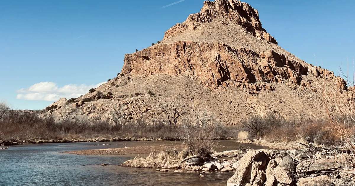
For five days the story of this storm ran down the San Juan. On Sunday afternoon the river warnings with the biggest numbers came from the other side of the Continental Divide, on the Rio Grande and the rivers that feed it.
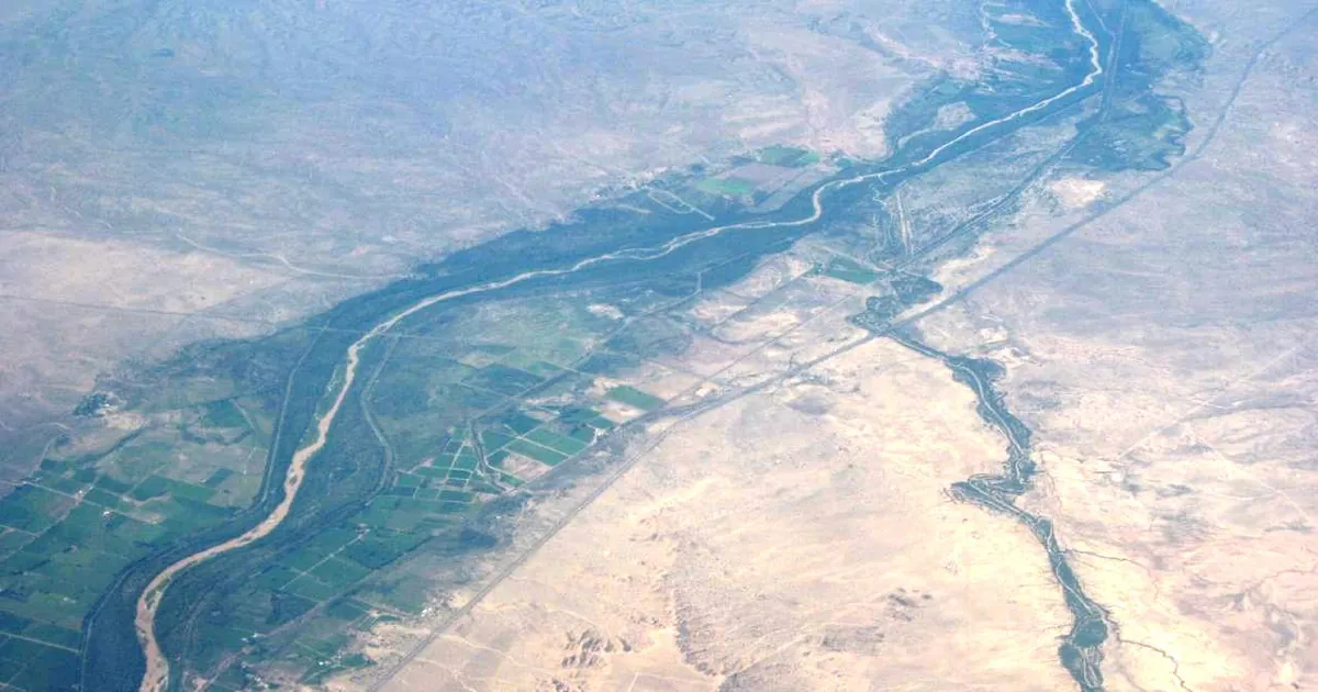
The Rio Puerco is a dry wash for much of the year. It reaches the Rio Grande near Bernardo, south of Belen. Albuquerque's warning, sent at 2:46 p.m. MDT, raised the forecast there from minor to moderate. It read 17.6 feet at 2 p.m. and was expected to reach 24.1 feet just after midnight. Flood stage is 19.5 feet. At 23 feet, the warning says, streets in the village of San Francisco between Interstate 25 and the Rio Grande flood, and the railroad bridge nearby may flood. Higher water would affect traffic on the interstate. The warning says the river falls on Tuesday, rises again to 22.5 feet on Wednesday morning, and drops below flood stage early Thursday. It also says "Water levels in the Lower Rio Puerco have not been this high since July of 1944."
Farther north, the Rio Chama climbed past old marks. Each Albuquerque product gives a "previous crest" in its flood history line. At both Chama gauges, the highest reading of the past day was above that line. Upstream in Colorado, the Pueblo office said at 4:42 p.m. that the Rio Grande had crested at Del Norte and Monte Vista, and at 3:56 p.m. that the Conejos had crested at Mogote. The water has to pass Alamosa next. There the river read 8.3 feet at 2:30 p.m. and is forecast to crest at 9.6 feet Monday morning, a little below the 9.9 feet recorded on June 5, 1948.
| River point | Office | Latest in the product | Flood stage | Forecast | Previous crest in the product | Issued |
|---|---|---|---|---|---|---|
| Rio Puerco near Bernardo NM | Albuquerque | 17.6 ft at 2 p.m. Sun | 19.5 ft | 24.1 ft just after midnight; 22.5 ft Wed morning; below flood stage early Thu | none available; "not been this high since July of 1944" | 2:46 p.m. MDT Sun |
| Rio Chama below Chamita NM | Albuquerque | 6.7 ft at 1 p.m. Sun, 24 h max 8.2 ft | 6.0 ft | crest 7.4 ft just after midnight; below flood stage Monday afternoon | 7.3 ft, 06/18/1984 | 1:20 p.m. MDT Sun |
| Rio Chama above Abiquiu NM | Albuquerque | 11.2 ft at 1 p.m. Sun, 24 h max 12.1 ft | 11.0 ft | below flood stage late Sunday afternoon | 10.8 ft, 05/09/2009 | 1:19 p.m. MDT Sun |
| Rio Grande at Alamosa CO | Pueblo | 8.3 ft at 2:30 p.m. Sun | 9.0 ft | crest 9.6 ft Monday morning; below flood stage early Tuesday | 9.9 ft, 06/05/1948 | 3:12 p.m. MDT Sun |
| Rio Grande at Del Norte and Monte Vista CO | Pueblo | crested | not given | low areas stay flooded | not given | 4:43 p.m. MDT Sun |
| Conejos River at Mogote CO | Pueblo | crested | not given | high flows downstream to the Rio Grande | not given | 4:01 p.m. MDT Sun |
| Rio San Jose, Cibola and Valencia NM | Albuquerque | still out of its banks, numerous roads closed | not given | warning until 3:30 p.m. MDT Mon | not given | 2:29 p.m. MDT Sun |
*Source: NWS river Flood Warnings on api.weather.gov, read at 23:30Z October 25. Each stage, time and earlier crest is the product's own figure. A product counts as one row even when the API lists it more than once.*
The San Juan, checked
Last night's story ended with a number for readers to check: near 31 feet at Mexican Hat by 7 p.m. Sunday, from Grand Junction's 7:28 p.m. Saturday warning. Sunday's 2:04 p.m. warning gives no figure for Mexican Hat. It said the river near Bluff read 20 feet at 2:04 p.m. and would crest at 29.5 feet early Monday morning. Flood stage at Bluff is 23 feet, and the record in the product is 32.0 feet on September 10, 1927. The product's header still reads "Catastrophic flooding" and "This is an emergency situation!" Salt Lake City's 1:19 p.m. warning for the reach below Bluff put that crest "later this evening into tonight" and said it would be above moderate flood stage. Both offices agree that the river stays in flood to Lake Powell through Tuesday morning. Upstream, Albuquerque expected the San Juan at Farmington and Shiprock to drop below flood stage on Sunday.
On the Little Colorado, the river at Winslow, Arizona, read 16.94 feet at 1 p.m. MST and had fallen below action stage. Flagstaff said the flooding near Birdsprings, downstream, would continue until 9 a.m. MST Monday.
Tonight, officially
The rain has not ended everywhere. At 4:40 p.m. MDT Albuquerque issued a Flash Flood Warning for parts of Curry and Quay counties, including Forrest, until 7:45 p.m. Radar estimated 2 to 2.5 inches had fallen. Flood Watches covered east central, northeast and southeast New Mexico through late tonight, with 1 to 2 inches more expected and up to 2 to 3 inches in places. At the time of the house wire's 23:26Z pull, the Storm Prediction Center's highest category was Marginal. Its summary: "Isolated strong to severe thunderstorms will be possible today and tonight from New Mexico into Far West Texas and the western Texas Panhandle."
| Product | Office | Area | In force until |
|---|---|---|---|
| Flash Flood Warning | Albuquerque NM | northwestern Curry and south central Quay counties, Forrest | 7:45 p.m. MDT Sun |
| Flood Watch | Albuquerque NM | Roosevelt, De Baca, Guadalupe, eastern San Miguel, Chaves County Plains, Northeast Highlands | 6 a.m. MDT Mon |
| Flood Watch | Albuquerque NM | Jemez and Tusas mountains, Espanola and Upper Rio Grande valleys, northwest and west central highlands | midnight MDT |
| Flood Watch | Grand Junction CO | Four Corners, Animas and San Juan basins, southeast Utah | midnight MDT |
*Source: NWS products on api.weather.gov and the SPC Day 1 summary as printed by the house wire, read at 23:26Z to 23:30Z October 25.*
What the reader can check
There are two numbers to check on Monday. Albuquerque says the Rio Puerco near Bernardo crests at 24.1 feet just after midnight. Pueblo says the Rio Grande at Alamosa crests at 9.6 feet Monday morning, against the 9.9 feet of 1948. Monday's warnings will show whether either one came in higher than forecast, the way Shiprock did on Saturday. The Weather School page on watches, warnings and advisories explains why the same county can carry a river warning, a flash flood warning and a watch at the same time.
This is a summary, not emergency information. For live warnings see weather.gov and your local officials.
More from the Weather Beat
More from the Journal
 THE WEATHER BEAT
Five years ago this week, the Sierra took 10.4 inches of rain in a day at Blue Canyon, one of 25 wettest-day records
OCT 23
 THE WEATHER BEAT
A rare Coastal Flood Warning for the San Diego and Orange County coasts, Sunday to Thursday, as the Upper Keys go to major
OCT 23
 EXPLAINERS
Why Is the Sky Blue?
AUG 20
Follow the Journal: RSS · get it by email