THE WEATHER BEAT · OCT 1
The rain behind the Kansas tornadoes reaches the rivers, and Beatrice is forecast above its 1941 crest
Up to six inches fell behind Wednesday's tornadoes. By Thursday noon, 102 Flood Warnings ran from Nebraska to Iowa, with crests due through Saturday.


Key points
- The rain that came behind Wednesday's Kansas tornadoes has reached the rivers. At 12:46 p.m. CDT on Thursday there were 102 Flood Warnings in force across 17 National Weather Service offices, most of them from Omaha, Kansas City, the Quad Cities, Des Moines, Hastings and Topeka.
- On three rivers, the forecast crest is above a past crest that the office itself cites. The Big Blue River at Beatrice, Neb., is forecast to reach 26.8 feet Saturday evening; the comparison is 26.3 feet in September 1941. Salt Creek at North 27th Street in Lincoln was forecast at 26.6 feet against 26.5 in July 1993. Salt Creek at Greenwood was forecast at 27.4 feet against 27.1 in May 2015.
- NWS Hastings has published the first damage survey for Wednesday's tornadoes. It is a brief touchdown east of Hunter in Mitchell County, Kan., rated EF-U because nothing was there to damage. No one was hurt.
Yesterday: the rain behind the tornadoes
Wednesday's storms in central Kansas are now known for their tornadoes, but they left more water than wind. Hastings collected the totals Thursday morning. A mesonet gauge 2 miles east-southeast of Tipton, Kan., measured 6.08 inches by 10:50 p.m. Wednesday, and one at Geneva, Neb., measured 5.86 inches. Around Beloit, gauges read between 4.6 and 5.3 inches. Across the state line in south central Nebraska, from Hebron to Exeter, totals of four and a half to five inches were common.
The first survey is a small one. At 7:23 p.m. CDT a tornado touched down briefly 7.5 miles east of Hunter in southern Mitchell County. Hastings rated it EF-U, meaning unknown: "No damage was reported. A rating of EF-U was applied due to the lack of damage indicators to make a windspeed estimation." No one was killed or hurt. The surveys for the Barton, Russell and Lincoln County reports belong to Wichita and Dodge City, and the statements this desk read did not include them.
| Rain gauge | County | Total | Time | Provider |
|---|---|---|---|---|
| 2 ESE Tipton, Kan. | Mitchell | 6.08 in | 10:50 p.m. Sept. 30 | Mesonet |
| Geneva, Neb. | Fillmore | 5.86 in | 10:47 p.m. Sept. 30 | Mesonet |
| 5 SSW Beloit, Kan. | Mitchell | 5.26 in | 11:49 p.m. Sept. 30 | Mesonet |
| 13 SW Tipton, Kan. | Osborne | 5.21 in | 11:49 p.m. Sept. 30 | Mesonet |
| 3 SSE Fairmont, Neb. | Fillmore | 5.20 in | 11:00 p.m. Sept. 30 | Mesonet |
| 1 ENE Beloit, Kan. | Mitchell | 5.01 in | 11:41 p.m. Sept. 30 | Mesonet |
| Hebron, Neb. | Thayer | 4.68 in | 8:00 a.m. Oct. 1 | CO-OP observer |
| Smith Center, Kan. | Smith | 4.56 in | 11:53 p.m. Sept. 30 | Mesonet |
| Survey (NWS Hastings) | Value |
|---|---|
| Location | 7.5 E Hunter, Mitchell County, Kan. |
| Time | 7:23 p.m. CDT, Sept. 30 |
| Rating | EF-U |
| Path length | Brief touchdown |
| Fatalities, injuries | 0, 0 |
*Source: NWS Hastings Public Information Statements, 11:00 a.m. and 11:05 a.m. CDT (precipitation reports) and 12:40 p.m. CDT (tornado summary), Oct. 1, 2026. All are preliminary and subject to change pending final review.*
Today, officially
Rivers in this part of the country rise slowly and on a schedule. The forecasts written Thursday morning put the crests anywhere from this afternoon to Saturday night.
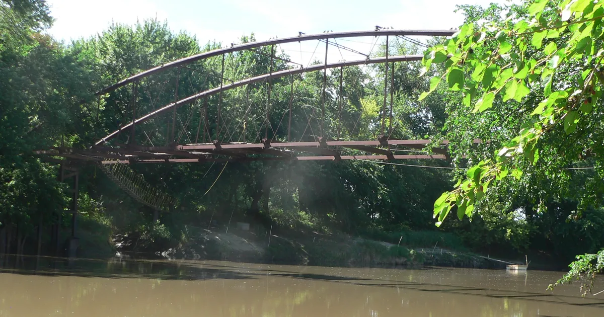
The Big Blue River at Beatrice was at 11.9 feet at 7:45 a.m. CDT. The Omaha office forecast it to rise above its 18-foot flood stage late this afternoon, reach 19.1 feet just after midnight, ease off, and then climb again to 26.8 feet Saturday evening as water from upstream arrives. The warning says that at 26 feet, State Highway 77 floods just south of the gage, and streets and basements flood along the right bank in town from Riverside Park to Chautauqua Park. The office compares this crest with one of 26.3 feet on Sept. 16, 1941.
Salt Creek in Lincoln was at 23.2 feet at North 27th Street at 1:25 a.m. Its forecast crest was 26.6 feet this afternoon. The warning says that at 26.5 feet, parts of the North Bottoms begin to flood, as does the area around the baseball field at Haymarket Park. Downstream, the forecast crest at Greenwood was 27.4 feet this afternoon. Near Ashland, the 11:39 a.m. forecast called for 21.3 feet just after midnight, against 21.5 feet in May 2015. That warning says that at 21 feet, local levees along the river are threatened with overtopping.
The same rain is moving through other rivers. The Solomon River at Beloit stood at 22.8 feet at 8:45 a.m., 2.8 feet above flood stage. Hastings expected a crest near 23.3 feet this afternoon, though it noted that the gage upstream at Glen Elder might hold the water up longer. The Grand River near Sumner, Mo., is forecast to rise from 22.2 feet to 33.3 feet by Friday evening, seven feet over its flood stage. Stranger Creek at Easton, Kan., is forecast to crest at 20.1 feet just after midnight, the level at which the warning says all roads out of Easton except Highway 192 west of 231st Street are closed. In Iowa, the English River at Kalona was at 17.2 feet, more than three feet over flood stage.
Three Flash Flood Warnings were also in force at midday: Dodge City for Ellis and Trego counties in Kansas until 1:30 p.m. CDT, and Kansas City for Atchison and Leavenworth until 2:15 p.m. and for Carroll and Ray in Missouri until 3 p.m. The Storm Prediction Center's day 1 outlook is Marginal: "Locally strong/gusty winds and perhaps a brief tornado or two may occur this afternoon/early evening across parts of southern Kansas into northwest Oklahoma and vicinity."
| River gage | Stage (time CDT) | Flood stage | Forecast crest | Office's comparison |
|---|---|---|---|---|
| Big Blue River at Beatrice, Neb. | 11.9 ft (7:45 a.m.) | 18.0 ft | 26.8 ft Sat. evening | 26.3 ft, 9/16/1941 |
| Salt Creek at N. 27th St., Lincoln, Neb. | 23.2 ft (1:25 a.m.) | 20.5 ft | 26.6 ft Thu. afternoon | 26.5 ft, 7/24/1993 |
| Salt Creek at Greenwood, Neb. | 22.5 ft (1:15 a.m.) | 20.0 ft | 27.4 ft Thu. afternoon | 27.1 ft, 5/7/2015 |
| Salt Creek near Ashland, Neb. | 20.0 ft (10:45 a.m.) | 20.0 ft | 21.3 ft after midnight | 21.5 ft, 5/8/2015 |
| Solomon River at Beloit, Kan. | 22.8 ft (8:45 a.m.) | 20.0 ft | about 23.3 ft Thu. afternoon | none given |
| Grand River near Sumner, Mo. | 22.2 ft (8:45 a.m.) | 26.0 ft | 33.3 ft Fri. evening | none given |
| Stranger Creek at Easton, Kan. | 15.0 ft (11:30 a.m.) | 17.0 ft | 20.1 ft after midnight | none given |
| English River at Kalona, Iowa | 17.2 ft (9:00 a.m.) | 14.0 ft | 17.7 ft Thu. evening | none given |
- Flood Warnings in force at 12:46 p.m. CDT: 102, from 17 offices. Omaha 31, Kansas City 18, Quad Cities 10, Des Moines 9, Hastings 7, Topeka 7, the rest 20.
*Source: NWS Flood Warnings from Omaha/Valley, Hastings, Kansas City/Pleasant Hill and Quad Cities, issued between 2:06 a.m. and 12:03 p.m. CDT Oct. 1, 2026, as read from api.weather.gov at 12:46 p.m. CDT; SPC day 1 outlook. River forecasts change with each issuance, and the Lincoln and Greenwood forecasts date from 2:06 a.m. "Office's comparison" is the past crest each warning cites. It is not a record claim.*
This is a summary, not emergency information. For live warnings see weather.gov and your local officials, and for river forecasts see water.noaa.gov.
The rock's live forecast for the places in this story
More from the Journal
 THE WEATHER BEAT
Nolo became a hurricane Thursday evening, and the Big Island carries a warning and a watch at the same time
SEP 25
THE WEATHER BEAT
Nolo became a hurricane Thursday evening, and the Big Island carries a warning and a watch at the same time
SEP 25
 THE WEATHER BEAT
The week's coastal low became a nor'easter in the discussions, and Boston wrote the first High Wind Warning
SEP 24
THE WEATHER BEAT
The week's coastal low became a nor'easter in the discussions, and Boston wrote the first High Wind Warning
SEP 24
 EXPLAINERS
Why Is the Sky Blue?
AUG 20
EXPLAINERS
Why Is the Sky Blue?
AUG 20
Follow the Journal: RSS · get it by email