THE WEATHER BEAT · EXPLAINER · OCT 3
How to read a river forecast: the Missouri at Jefferson City has a crest scheduled four days out
A river flood warning comes with a timetable. This week's Missouri River shows how to read the schedule, the wave, the impact line and the revisions.

Key points
- A river flood comes with a schedule. At 10:23 p.m. CDT Friday, NWS St. Louis forecast the Missouri River at Jefferson City to pass its 23-foot flood stage Sunday afternoon and crest at 25.6 feet early Tuesday morning. That is four days after the river read 11.8 feet.
- The crest moves downstream like a slow wave. The same warnings have it reaching Chamois and Hermann early Tuesday afternoon, a few hours after Jefferson City.
- A crest forecast is revised with every issuance. At Waverly, Friday morning's forecast called for 27.0 feet. Saturday's 5:58 a.m. warning lowered it to 25.7 feet and moved the crest earlier.
How to read a river forecast, using this week's Missouri
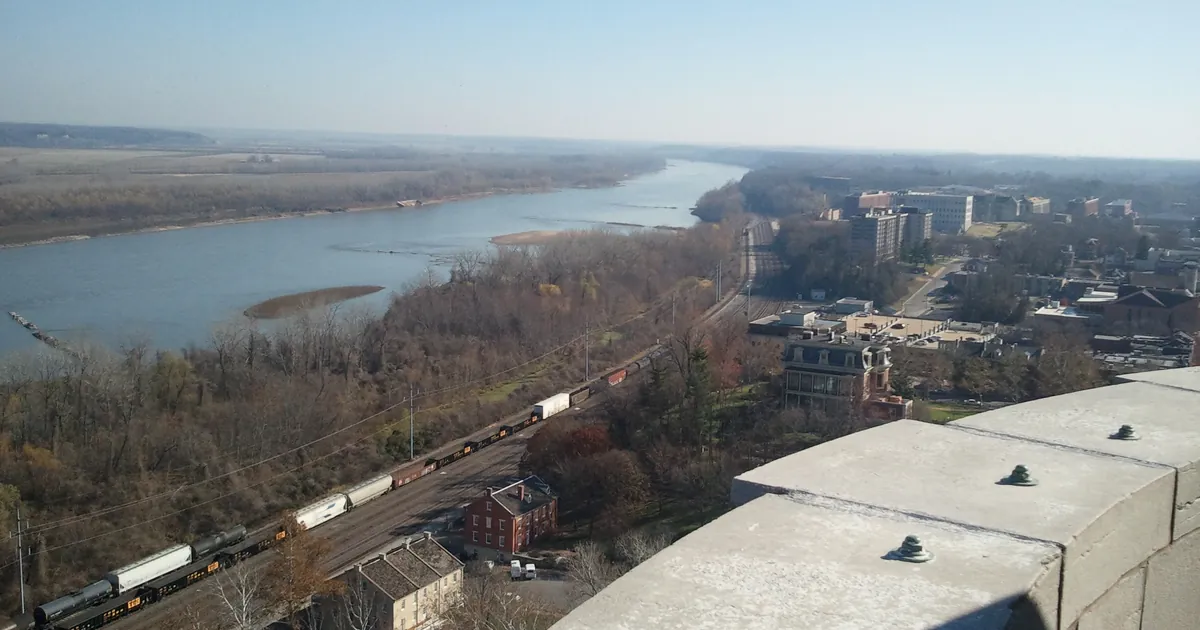
Most weather warnings give you minutes or hours. A river flood warning often gives you days, because the water that will flood a town is already in the river upstream. The forecasters' job is to work out when that water arrives and how high it stands when it does. This week's Missouri River shows each part of that.
The schedule. At 9:45 p.m. Friday the Missouri at Jefferson City stood at 11.8 feet, nearly twelve feet below flood stage. Nothing on the riverbank looked like a flood. The St. Louis office's warning still laid out the next four days: above flood stage Sunday afternoon, a crest of 25.6 feet early Tuesday, and moderate flooding at the top. A warning like this is not saying the town is flooding. It is giving the town a timetable.
The wave. The crest does not arrive everywhere at once. The St. Louis warnings forecast Jefferson City to crest early Tuesday morning. Chamois, downstream, is forecast to crest at 19.1 feet early Tuesday afternoon, and Hermann at 23.1 feet early Tuesday afternoon. Anyone living on a big river can follow the high water from town to town on the forecast, the way you might follow a train on a timetable.
The line that matters to you. Every gage has its own flood stage: 23 feet at Jefferson City, 17 at Chamois, 21 at Hermann. Stage numbers mean little without a picture of what they flood, so the warnings also list impacts by height. The first impact on the Jefferson City warning comes at 26.3 feet, when State Route 179 near Sandy Hook and State Highway K east of McBaine close. The forecast crest is seven tenths of a foot below that. At Hermann the warning puts the first impact at 22.3 feet, where parts of Old Rock Road and Twisters Road south of Rhineland flood, and the forecast crest is above it. So the gage with the milder category, minor at Hermann against moderate at Jefferson City, is the one forecast to reach a listed road. The road list in the warning tells you more than the category word does.
The revisions. A crest forecast has the expected rain built into it, so it changes as new rain falls, or fails to fall, and as the river reports in. On Friday morning the forecast for Waverly was 27.0 feet on Sunday morning. By Saturday's 5:58 a.m. warning it was 25.7 feet on Saturday evening, lower and sooner. The St. Louis warnings carry this caution in plain words: "rainfall heavier than forecast could cause river levels to rise even higher than predicted." Read the newest issuance, and expect the numbers to move by tenths of a foot from one issuance to the next.
| Gage | Stage in the warning (CDT) | Flood stage | Forecast crest | Category | First listed impact |
|---|---|---|---|---|---|
| Missouri River at Jefferson City, Mo. | 11.8 ft (9:45 p.m. Fri.) | 23.0 ft | 25.6 ft early Tue. | Moderate | 26.3 ft: Route 179 near Sandy Hook, Highway K east of McBaine close |
| Missouri River near Chamois, Mo. | 5.8 ft (7:00 a.m. Fri.) | 17.0 ft | 19.1 ft early Tue. afternoon | Minor | |
| Missouri River at Hermann, Mo. | 9.3 ft (9:30 p.m. Fri.) | 21.0 ft | 23.1 ft early Tue. afternoon | Minor | 22.3 ft: Old Rock Road and Twisters Road south of Rhineland |
| Missouri River at Waverly, Mo. | 24.8 ft (5:00 a.m. Sat.) | 20.0 ft | 25.7 ft Sat. evening (was 27.0 ft Fri. morning) |
*Source: NWS St. Louis Flood Warnings issued 10:23 p.m. CDT Oct. 2, 2026, and NWS Kansas City/Pleasant Hill Flood Warning issued 5:58 a.m. CDT Oct. 3, 2026, as quoted in this desk's Oct. 3 story. The Friday morning Waverly figure is from this desk's Oct. 2 story. These are the forecasts as issued at those times. River forecasts change with each issuance, and newer ones may have replaced them by the time you read this.*
To see the live forecast for any gage, open its page on water.noaa.gov. The hydrograph there shows the observed river as one line and the forecast as another, with the flood stage marked across both. Once you have read one, you can read them all.
This is a summary, not emergency information. For live warnings see weather.gov and your local officials, and for river forecasts see water.noaa.gov.
The rock's live forecast for the places in this story
More from the Journal



Follow the Journal: RSS · get it by email