THE WEATHER BEAT · SEP 4
Wind on both ends of the map: 384 reports from Pennsylvania to Montana
384 preliminary wind reports from Pennsylvania to Montana on Thursday; in southeast Texas, rivers under flood warnings after Edouard.

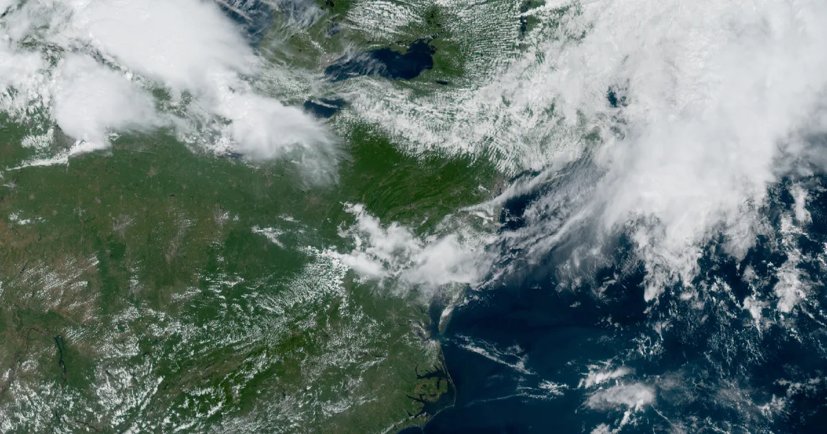

Key points
- Thursday was a wind day on both ends of the map: 384 preliminary wind reports nationwide, most of them trees and wires down from Pennsylvania and New York through Maryland and Virginia, plus a separate Montana episode that gusted to 83 mph near Great Falls MT.
- Southeast Texas rivers are under Flood Warnings across eight counties this morning, the water still working downstream after Edouard, which the Lake Charles forecast office says has dissipated.
- As of this morning's outlooks: a Slight Risk of severe storms from the southern Great Lakes and Ohio Valley into the Mid-Atlantic, Extreme Heat Warnings across six mid-Mississippi Valley states, and Hurricane Lowell passing well south of Hawaii with no coastal watches in effect.

Yesterday
The loudest weather in the country on Thursday was wind, and it came in two unrelated servings.
The eastern serving started with breakfast. Trees were coming down in Warren PA by 8:05 a.m. EDT on September 3, and for the next twelve hours the reports walked southeast: through western New York around Batavia NY mid-morning, down the spine of central Pennsylvania through midday, then across Maryland and northern Virginia through the early afternoon. Most of it was the same story told a few hundred times, a tree on a road, a tree on wires, a tree on a beltway ramp. Cockeysville MD lost a large uprooted tree at 2:44 p.m. EDT, and Bethesda MD had trees down on River Road at 1:37 p.m. EDT. The evening added a measured exclamation point in the Finger Lakes: a 76 mph gust near Seneca Falls NY at 8:40 p.m. EDT. Pennsylvania, New York, Maryland, and Virginia together accounted for 255 of the day's wind reports.
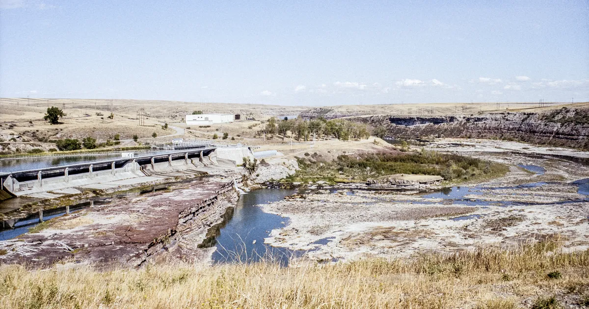
Montana was the other serving, and it had the day's biggest numbers. Between about 1:30 and 4:30 p.m. MDT, stations across the southwest and central part of the state measured gusts of 70 mph and higher: 83 mph five miles west-southwest of Great Falls MT, 80 mph at Highwood Bench MT and near Warm Springs MT, 77 mph near Choteau MT, and 73 mph in Helena MT itself. Spotters around Butte MT reported large mature trees down, including at a cemetery and a golf course.
Hail was a footnote by comparison. The largest stones were 2 inches, reported at Birch Run MI at 5:38 p.m. EDT and near Capac MI about an hour later. The national log's only tornado-type entry was a single preliminary report near Serenada TX at 4:25 p.m. CDT, which the Austin/San Antonio office logged as pictures and videos of a possible landspout or dust devil.
Largest measured gusts, September 3:
| Place | Gust (mph) | Local time |
|---|---|---|
| 5 WSW Great Falls MT | 83 | 3:53 p.m. MDT |
| Highwood Bench MT | 80 | 4:05 p.m. MDT |
| 1 S Warm Springs MT | 80 | 1:30 p.m. MDT |
| 8 SSW Choteau MT | 77 | 3:15 p.m. MDT |
| 2 SSW Seneca Falls NY | 76 | 8:40 p.m. EDT |
| 10 S Fort Benton MT | 76 | 4:25 p.m. MDT |
| 3 NNE Newcomb MT (Bert Mooney Airport) | 74 | 2:11 p.m. MDT |
| Helena MT | 73 | 2:45 p.m. MDT |
Report counts for the day: 384 wind, 13 hail, 1 tornado-type. By state, wind reports led with Pennsylvania 101, New York 94, Montana 89, Virginia 33, Maryland 27, North Carolina 12, Michigan 11, Ohio 9.
Source: Storm Prediction Center preliminary storm reports for the 24 hours ending 8 a.m. EDT September 4. All counts and gusts are preliminary and subject to revision.
Today, officially
Southeast Texas rivers
The rain from Edouard has stopped falling, but the water is still moving. As of this morning, Flood Warnings cover eight southeast Texas counties: Hardin, Jefferson, Orange, Jasper, Liberty, Polk, Angelina, and Trinity. Menard Creek near Rye TX is in moderate flooding now, per the Houston/Galveston warning continued at 11:26 p.m. CDT Thursday. Village Creek near Kountze TX is forecast to reach moderate flooding, Pine Island Bayou near Sour Lake TX is rising, and the Neches River is forecast for minor flooding both near Diboll TX and down at the saltwater barrier. A separate small-stream Flood Warning for Hardin and northwestern Jefferson counties, issued 4:29 p.m. CDT Thursday, stated plainly that numerous roads remain closed due to flooding.
The Lake Charles forecast discussion, issued 12:13 a.m. CDT Friday, reads: "While Edouard has finally dissipated tonight, a moisture rich atmosphere will remain over the region through the weekend resulting in more showers and storms along with warm and humid conditions." It adds that heavy downpours "could lead to areas of flash flooding especially over already rain sodden ground post-Edouard," and a Marginal Risk of excessive rainfall covers the area both today and Saturday per the Weather Prediction Center outlook issued 2:52 a.m. EDT.
River warning vitals:
| River and gauge | Status | Counties | Warning runs until |
|---|---|---|---|
| Menard Creek near Rye TX | Moderate flooding occurring and forecast | Liberty, Hardin, Polk | Saturday afternoon (12:44 p.m. CDT Sep 5) |
| Village Creek near Kountze TX | Moderate flooding forecast | Hardin | Early Sunday (5:40 a.m. CDT Sep 6) |
| Pine Island Bayou near Sour Lake TX | Flooding forecast | Jefferson, Hardin | Sunday night (10:36 p.m. CDT Sep 6) |
| Neches River near Diboll TX | Minor flooding forecast, crest 12.0 ft (6.6 ft at 8:15 p.m. CDT Thu) | Angelina, Trinity, Polk | Saturday evening (7 p.m. CDT Sep 5) |
| Neches River at Saltwater Barrier | Minor flooding forecast | Jefferson, Hardin, Jasper, Orange | Until further notice |
Source: NWS Houston/Galveston, Lake Charles, and Shreveport Flood Warnings issued the evening of September 3.
Severe storm risk, Great Lakes to Mid-Atlantic
The Storm Prediction Center's Day 1 outlook, issued 12:37 a.m. CDT Friday, carries a Slight Risk "in a corridor across the southern Great Lakes and middle/upper Ohio Valley into Mid Atlantic," with damaging wind gusts the main concern from organized storm clusters, plus more scattered strong storms east of the Blue Ridge this afternoon and evening. This is the same frontal zone that made Thursday noisy, sagging slowly south.
The Cleveland forecast discussion, issued 3:56 a.m. EDT, reads: "Confidence is increasing for another round of severe storms to move west to east through the area late this morning and afternoon. Damaging wind gusts are the primary concern." That office puts its window roughly between 10 a.m. and 3 p.m., aimed more at northwest and north-central Ohio than the areas hit Thursday.
Heat in the middle of the country
Ten Extreme Heat Warnings from six forecast offices cover parts of Missouri, Kansas, Iowa, Illinois, Indiana, and Kentucky as of early this morning, taking in the St. Louis MO, Kansas City MO, and Topeka KS metros. The St. Louis product, issued 3:26 a.m. CDT, states heat index values up to 107; the Kansas City product, issued 4:18 a.m. CDT, states up to 105. Several of the warnings run through 8 p.m. Saturday, and the Kansas City and Topeka warnings for the western zones run through 8 p.m. Tuesday, September 8. None of the products states a covered population figure.
The tropics
Three hurricanes are active, all in the Pacific, and none carries a coastal watch or warning. The one worth a homeowner's glance is Hurricane Lowell. Per Central Pacific Hurricane Center advisory 32, issued 11 p.m. HST Thursday, Lowell was a category 3 with maximum sustained winds of 125 mph and a 947 mb central pressure, about 555 miles south-southwest of Honolulu HI and 595 miles south of Lihue HI, moving west at 9 mph with a turn toward the northwest and north expected this weekend. The advisory's stated land hazard is surf: swells likely to cause life-threatening surf and rip current conditions across many of the Hawaiian islands during the next several days. The advisory headline asks interests in the Hawaiian Islands to continue monitoring; the next complete advisory was scheduled for 5 a.m. HST.
Hurricanes Karina (advisory 32) and Marie (advisory 13), both per NHC advisories issued 5 a.m. EDT Friday, are over open eastern Pacific water, far from land, with no watches or warnings. The Atlantic has no active storms on the NHC board this morning.
Elsewhere
The Weather Prediction Center's excessive rainfall outlook, issued 2:52 a.m. EDT and valid through Saturday morning, places a Slight Risk of rainfall exceeding flash flood guidance over parts of southeastern Arizona and southwestern New Mexico, with Marginal Risk areas including southeast Texas, South Florida, and a broad stripe from the Great Lakes to the Carolinas. Flash Flood Watches from the Boise and Pocatello offices cover several Idaho mountain zones and Baker County OR into this evening.
This is a morning summary, not emergency information. For live warnings see weather.gov and your local officials.
The rock's live forecast for the places in this story
More from the Weather Beat
More from the Journal
 THE WEATHER BEAT
Watch or warning? Interior Alaska's snowstorm splits: the mountains now under warnings, Fairbanks still on a watch
OCT 19
THE WEATHER BEAT
Watch or warning? Interior Alaska's snowstorm splits: the mountains now under warnings, Fairbanks still on a watch
OCT 19
 THE WEATHER BEAT
Nor'easter stalls off North Carolina: Hatteras and Ocracoke flood warnings now run to Wednesday, Hampton Roads under advisories
OCT 19
THE WEATHER BEAT
Nor'easter stalls off North Carolina: Hatteras and Ocracoke flood warnings now run to Wednesday, Hampton Roads under advisories
OCT 19
 EXPLAINERS
Why Is the Sky Blue?
AUG 20
EXPLAINERS
Why Is the Sky Blue?
AUG 20
Follow the Journal: RSS · get it by email