THE WEATHER BEAT · EXPLAINER · OCT 5
Watch, advisory, warning: how Monday's rain in Panama City climbed the Weather Service's three flood words
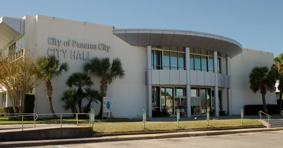
Panama City had a Flood Watch Sunday, an advisory at 10:42 a.m. CDT Monday and a Flash Flood Warning at 1:26 p.m. Here is what each word asks of you.


Key points
- On Monday, the same Panhandle rain moved through three levels of the Weather Service's flood alerts. A Flood Watch had been in place since Sunday afternoon. NWS Tallahassee added a Flood Advisory for Panama City, Marianna and Altha at 10:42 a.m. CDT, then upgraded parts of that area to Flash Flood Warnings at 11:43 a.m. and 1:26 p.m. CDT.
- Each level asks something different of you. The National Weather Service's own labels are "Be Prepared" for a watch, "Be Aware" for an advisory and "Take Action!" for a warning.
- The words changed when the numbers did. The advisory reported 2 to 3 inches of rain and minor flooding in low spots. The Bay County warning reported 2.5 to 3.5 inches and named small creeks, streets, highways and underpasses.

Watch, advisory, warning: one county's Monday
The Weather Service uses three words for flooding. The difference between them is easy to forget until the day you need it. On Monday, Bay County, Florida, got all three over about 23 hours.
The watch. NWS Tallahassee issued its Flood Watch at 2:34 p.m. EDT Sunday, before the heavy rain arrived. It ran to 8 p.m. EDT Monday and covered the Panhandle, the Big Bend, southeast Alabama and southwest Georgia. It forecast "2 to 4 inches for most of the area with locally higher amounts of up to 6 inches possible through Monday, especially along the Emerald and Forgotten Coasts." The Weather Service's safety page defines a watch this way: it "is issued when conditions are favorable for flooding. It does not mean flooding will occur, but it is possible." The page's label for it is "Be Prepared." A watch is a heads-up about a wide area hours ahead of time, and it is the right moment to think about which road you would take if your usual one went under.
The advisory. At 10:42 a.m. CDT Monday, radar showed the rain had become real. NWS Tallahassee's Flood Advisory covered Bay County and parts of Calhoun, Jackson and Washington counties. It said 2 to 3 inches had fallen and 1 to 3 more were expected, and it described the impact as "minor flooding in low-lying and poor drainage areas." Its town list included Panama City, Lynn Haven, Callaway, Marianna, Grand Ridge and Altha. The safety page labels an advisory "Be Aware" and says it is issued "when flooding is not expected to be bad enough to issue a warning," while cautioning that it "may cause significant inconvenience." In plain terms: water is collecting where it always collects, and you should watch where you drive.
The warning. An hour later the office upgraded part of that same area. At 11:43 a.m. CDT it issued a Flash Flood Warning for northwestern Calhoun and southeastern Jackson counties, from Altha to Grand Ridge, with 2.5 to 3.5 inches already fallen and 2 to 3 more possible. At 1:26 p.m. CDT Bay County got its own warning, with the same 2.5 to 3.5 inches and 1 to 3 more possible. It named Panama City, Lynn Haven, Panama City Beach, Callaway, Springfield and Tyndall Air Force Base. The impact line changed from "low-lying and poor drainage areas" to "small creeks and streams, urban areas, highways, streets and underpasses." The safety page labels a flash flood warning "Take Action!" and says it "is issued when a flash flood is imminent or occurring."
Where the numbers come from. Each of these products names its source. Monday's Tallahassee advisory and both warnings say "Doppler radar indicated." The rain totals in them are radar estimates, not readings from a rain gauge. That is why they come as a range, like 2.5 to 3.5 inches, instead of a single number. Earlier Monday, NWS Mobile's warning for Destin cited radar and automated rain gauges together. When a warning says "SOURCE...Emergency management reported," someone on the ground saw the flooding. The SOURCE line is short and easy to skip, but it is worth reading.
Not every advisory becomes a warning. At 2:25 p.m. EDT, NWS Jacksonville issued a Flood Advisory for southern Alachua and western Marion counties, including Dunnellon and Reddick. It reported 0.5 to 1.5 inches so far and called for minor flooding. As of the time this desk read the wire, it had stayed an advisory. The word fits the water that is there, not the water someone fears.
| Product | Office, issued | In effect until | Rain so far (radar) | More possible | NWS label |
|---|---|---|---|---|---|
| Flood Watch: Panhandle, Big Bend, SE Alabama, SW Georgia | Tallahassee, 2:34 p.m. EDT Sun | 8 p.m. EDT Mon | 2 to 4 in, locally 6 | Be Prepared | |
| Flood Advisory: Bay, Calhoun, Jackson, Washington FL | Tallahassee, 10:42 a.m. CDT Mon | 1:45 p.m. CDT | 2 to 3 in | 1 to 3 in | Be Aware |
| Flash Flood Warning: NW Calhoun, SE Jackson FL | Tallahassee, 11:43 a.m. CDT Mon | 2:45 p.m. CDT | 2.5 to 3.5 in | 2 to 3 in | Take Action! |
| Flash Flood Warning: Bay FL | Tallahassee, 1:26 p.m. CDT Mon | 4:30 p.m. CDT | 2.5 to 3.5 in | 1 to 3 in | Take Action! |
| Flood Advisory: S Alachua, W Marion FL | Jacksonville, 2:25 p.m. EDT Mon | 5:30 p.m. EDT | 0.5 to 1.5 in | 1 to 3 in | Be Aware |
*Source: NWS Tallahassee and Jacksonville products as issued, read at 18:40Z October 5, 2026. Rain figures are the offices' radar estimates. The labels and definitions are quoted from the National Weather Service flood safety page, https://www.weather.gov/safety/flood-watch-warning.*
The slower ladder: a river warning
Rivers get their own kind of Flood Warning, and it runs on days, not hours. On Sunday evening NWS Mobile forecast the Shoal River near Crestview to crest at 8.4 feet Tuesday morning. Monday's 8:47 a.m. CDT update raised that. With the river at 6.4 feet at 8:15 a.m., the office now forecasts it to pass its 8.0 foot flood stage late Monday night and crest at 8.9 feet early Wednesday afternoon. The warning compares that to a crest of 9.0 feet on January 2, 2016. It lists the first impact at 8.5 feet: "Water in yards on Sowel Road." A river forecast changes as new rain reaches the river, and this one went up by half a foot between issuances.
| Gage | Stage (CDT) | Flood stage | Forecast crest | First listed impact |
|---|---|---|---|---|
| Shoal River near Crestview, Fla. | 6.4 ft (8:15 a.m. Mon) | 8.0 ft | 8.9 ft early Wed afternoon (was 8.4 ft Tue morning in the Sunday evening forecast) | 8.5 ft: water in yards on Sowel Road |
*Source: NWS Mobile Flood Warning issued 8:47 a.m. CDT October 5, 2026; the Sunday evening figure is from this desk's October 5 morning story. River forecasts change with each issuance.*
This morning's story covered the overnight warnings from Destin to Dothan. For more on the three words, the Weather School's lesson on watches, warnings and advisories goes further, with a worksheet.
This is a summary of official warnings, not emergency information. For live warnings see weather.gov and your local officials, and for river forecasts see water.noaa.gov.
The rock's live forecast for the places in this story
More from the Journal
 THE WEATHER BEAT
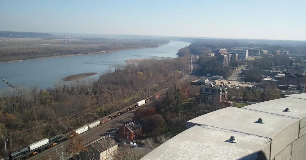
The Missouri River crest heads for Jefferson City: moderate flooding forecast Tuesday as upstream crests ease
OCT 3
THE WEATHER BEAT
The Missouri River crest heads for Jefferson City: moderate flooding forecast Tuesday as upstream crests ease
OCT 3
 THE WEATHER BEAT
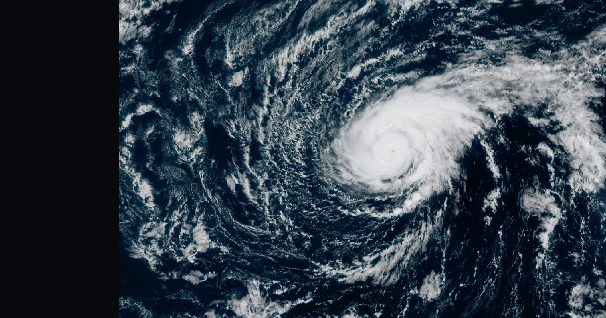
Nolo is a major hurricane again, ten days after Hawaii, with a Tropical Storm Warning over Papahanaumokuakea
OCT 3
THE WEATHER BEAT
Nolo is a major hurricane again, ten days after Hawaii, with a Tropical Storm Warning over Papahanaumokuakea
OCT 3
 EXPLAINERS
Why Is the Sky Blue?
AUG 20
EXPLAINERS
Why Is the Sky Blue?
AUG 20
Follow the Journal: RSS · get it by email