THE WEATHER BEAT · OCT 22
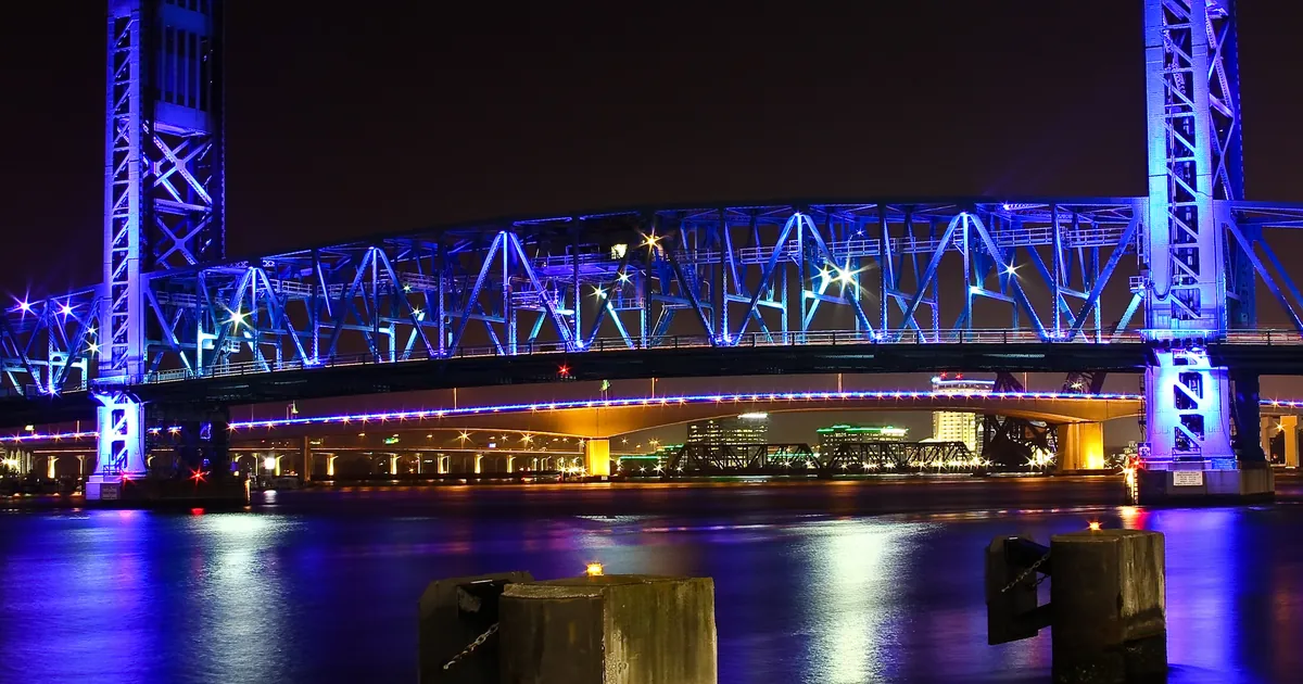
Coastal Flood Watches from Jacksonville to the Georgia beaches as Miami warns of the season's peak King Tide this weekend
Jacksonville expects moderate tidal flooding up to 2.5 ft MHHW by Sunday and Monday; Miami already has moderate flooding each high tide and says major is.


Key points
- At 7:17 p.m. EDT Thursday, NWS Jacksonville issued Coastal Flood Watches for "significant coastal flooding possible" from late Friday night through Monday morning. They cover the Duval, Flagler, Nassau and St. Johns County coasts in Florida and the Glynn and Camden County coasts in Georgia.
- NWS Miami has Coastal Flood Advisories for moderate coastal flooding in coastal Palm Beach, Broward and Miami-Dade counties until 8 p.m. EDT Saturday. The advisory says it will either need to be extended into next week or upgraded to a warning "Sunday into Monday when King Tides peak and rain chances and onshore winds are highest."
- Miami's discussion expects this to be "the peak King Tide of the season". Jacksonville's names the full moon on Sunday and Monday, October 25 and 26, and a fresh surge of northeast wind. Both offices expect the highest water of the event on Sunday and Monday.
The tide, the moon and a northeast wind
On Thursday evening, Florida's Atlantic coast held a ladder of products from the Keys to the Georgia line. All of them point at the same few days.
Jacksonville is at the top of the ladder. Its watches cover the beaches of Duval, Flagler and the St. Johns County coast, Nassau County, and the southeast Georgia beaches in Glynn and Camden counties. Under them the office lists the worst it thinks is possible: "Numerous roads may be closed. Low lying property including homes, businesses, and some critical infrastructure may be inundated. Some shoreline erosion may occur." A watch means the flooding is possible, not certain. A Coastal Flood Advisory for minor flooding also stays in force until 2 a.m. EDT Saturday along the same coast and up the St. Johns River, in eastern Clay, eastern Putnam, inland Flagler and western St. Johns counties and on the Trout River.
The office's 8:03 p.m. EDT discussion explains why. Minor flooding is still occurring "from Downtown Jacksonville upstream/southward to Satsuma", with peak water levels of 1.6 to 1.9 feet above mean higher high water in the past 24 hours. Then: "another surge of northeast winds and the full moon on Sunday/Monday Oct 25-26 will push water levels up further, especially for the coast. Confidence is growing for moderate tidal flooding (up to 2.5 ft MHHW) and coastal flood watches have been issued." Some gauges may touch low-end moderate flooding as early as the Saturday morning high tide. The office says Sunday and Monday carry the best chances. At the beaches it rates the erosion potential "higher than the prior northeast wind event around Oct 17th-18th."
Further south, the moderate flooding has already started. NWS Miami's advisory, sent at 3:54 p.m. EDT, covers the Palm Beach, Broward and Miami-Dade coasts. It expects "Flooding of lots, parks, and roads with only isolated road closures," and for Palm Beach it adds breaking waves of 6 to 8 feet. In the Keys, NWS Key West expects saltwater flooding of low streets and lots in the Upper Keys, and minor flooding in the Middle Keys, through early Friday morning.
| Product | Office | Where | What it says | Issued | Runs |
|---|---|---|---|---|---|
| Coastal Flood Watch | Jacksonville FL | Coastal Duval, Flagler, Nassau, St. Johns; South Central Duval; Coastal Glynn and Camden GA | significant coastal flooding possible | 7:17 p.m. EDT Thu | late Fri night to Mon morning |
| Coastal Flood Advisory | Jacksonville FL | Duval, Flagler and St. Johns coasts; inland Flagler, eastern Clay, eastern Putnam, western St. Johns, Trout River | minor coastal flooding | 7:17 p.m. EDT Thu | to 2 a.m. EDT Sat |
| Coastal Flood Advisory | Miami FL | Coastal Palm Beach, Broward, Miami-Dade | moderate coastal flooding; Palm Beach surf 6 to 8 ft | 3:54 p.m. EDT Thu | to 8 p.m. EDT Sat, extension or warning expected |
| Coastal Flood Advisory | Key West FL | Upper and Middle Keys | saltwater flooding (Upper), minor saltwater flooding (Middle) | 4:01 p.m. EDT Thu | through early Fri morning |
*Source: NWS alert products on api.weather.gov, read at 01:05Z October 23. Wording is quoted from each product's WHAT, WHERE, WHEN and IMPACTS lines. Each product's own "expires" field is earlier than the window in its WHEN line, so this table prints the WHEN line.*
Today, officially
Miami's discussion updated its key messages at 7:22 p.m. EDT: "Moderate coastal flooding is expected with each high tide cycle. Major coastal flooding is possible late this weekend into early next week." It also expects heavy rain and isolated flash flooding across the east coast metros, and gusts over 35 mph, from Sunday through Monday. The 4:08 p.m. hydrology section explains why the overlap matters. The peak of the tide cycle "comes at the time of greatest onshore winds and heavy rain potential," and rain can either be slow to drain against a high tide or add to it. It closes: "All sensitive locations down the east coast should be preparing for the highest tidal impacts of the season."
Jacksonville expects northeast winds of 15 to 20 mph on Friday, rising to 25 to 30 mph with gusts of 35 to 45 mph on Saturday afternoon, and says a Wind Advisory may be needed near the coast. Its marine section expects surf "upwards of 7 to 10 feet by Sunday." Miami expects Atlantic seas to peak at 10 to 14 feet Sunday night into Monday.
| Element | Office | Forecast | Window |
|---|---|---|---|
| Tidal flooding | Jacksonville | moderate, up to 2.5 ft MHHW | Sat morning possible, Sun and Mon most likely |
| Tidal flooding | Miami | moderate each high tide; major possible | now; major late weekend into early next week |
| Northeast wind | Jacksonville | 25 to 30 mph, gusts 35 to 45 mph | Saturday afternoon |
| Gusts | Miami | over 35 mph | Sunday through Monday |
| Surf and seas | Jacksonville / Miami | surf 7 to 10 ft / Atlantic seas 10 to 14 ft | Sunday / Sunday night into Monday |
*Source: NWS Jacksonville Area Forecast Discussion, 803 p.m. EDT October 22; NWS Miami Area Forecast Discussion, key messages 722 p.m. EDT, hydrology and marine sections 408 p.m. EDT October 22.*
This afternoon the same northeast wind was the story inland, where it has pushed the St. Johns River at Astor into moderate flood. Tonight it is the coast's turn.
What the reader can check
Jacksonville has set itself a test: low-end moderate flooding at some gauges "as early as the Saturday morning high tide," with the best chances on Sunday and Monday. Miami has said its advisory will be extended or upgraded to a warning for Sunday into Monday. By Monday evening, did the watch on the Duval and St. Johns coast become a warning, and did Miami's advisory become one too? The Weather School lesson on watches, warnings and advisories explains each step on that ladder.
This is a summary of official warnings, not emergency information. For live warnings see weather.gov and your local officials.
More from the Weather Beat
More from the Journal
 THE WEATHER BEAT
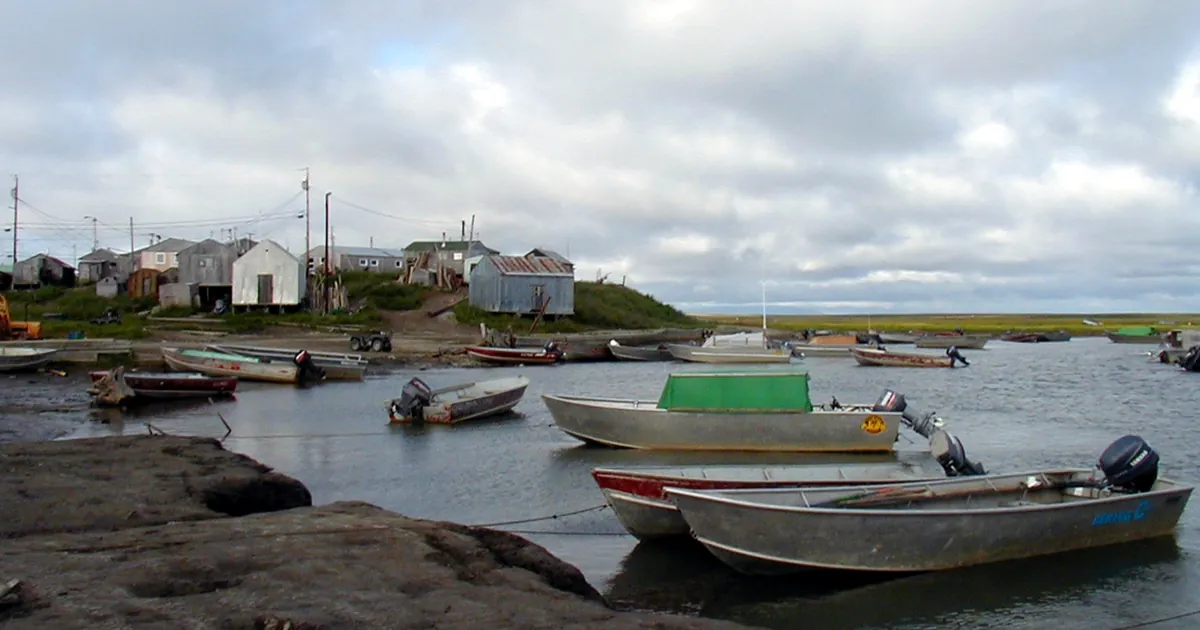
A Bering Sea storm due in western Alaska Friday: Coastal Flood Warning for Hooper Bay, Blizzard Warnings on the Seward Peninsula, gusts to 75 mph
OCT 21
 THE WEATHER BEAT
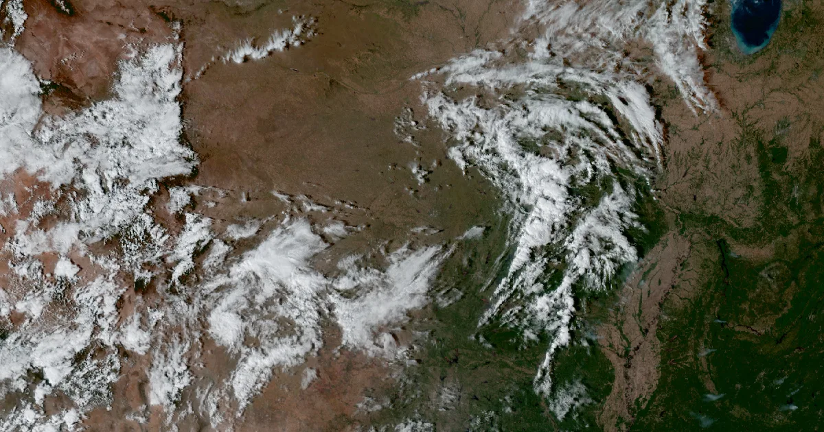
On this date in 1983, six Oklahoma and Texas Panhandle gauges recorded their wettest day, led by 10.6 inches at Shawnee
OCT 20
 EXPLAINERS
Why Is the Sky Blue?
AUG 20
Follow the Journal: RSS · get it by email