THE WEATHER BEAT · OCT 22
The St. Johns River at Astor, Florida, reaches moderate flood stage on days of northeast wind, with stronger wind due this weekend
No rain required: northeast wind has pushed the St. Johns at Astor to 3.2 ft against a 2.3 ft flood stage, and Melbourne expects 20 to 30 mph winds this.


Key points
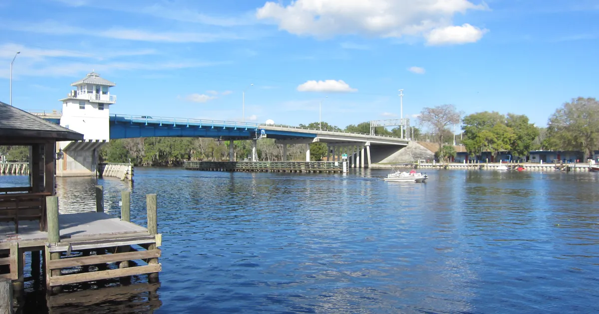
- At 8:30 a.m. EDT Thursday, the St. Johns River near Astor, Florida, measured 3.2 feet. Flood stage there is 2.3 feet. NWS Melbourne calls this moderate flooding and blames "persistent northeast winds", not rain.
- The warning covers Lake and Volusia counties and runs until further notice. It says the river is forecast to keep climbing slowly through moderate flood stage over the weekend. Next week, after the northeast wind picks up again, levels could approach major flood stage.
- Melbourne's morning discussion expects northeast winds of 20 to 30 mph this weekend, arriving with high astronomical tides. It says beach erosion and minor coastal flooding are increasingly likely from Saturday into early next week.

A river pushed by the wind
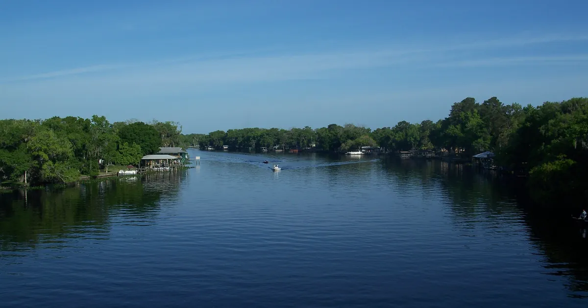
Most river floods start with rain. This one started with wind. The St. Johns is one of the few big rivers in the country that flows north, and it falls only a few feet over its whole length. When a northeast wind blows up it for days, the water backs up. NWS Melbourne's Flood Warning says that is what happened at Astor: "Persistent northeast winds have caused river levels on the St Johns at Astor to rise into Moderate Flood Stage."
The gauge read 3.2 feet at 8:30 a.m. EDT Thursday. Bankfull is 2.0 feet and flood stage is 2.3 feet. In the 24 hours before that reading, 3.2 feet was also the highest the river reached. The office expects it to hold there for now. It also lists what happens at 3.5 feet. Canals overflow into yards. Homes on and near Wildhog and Bonnet Roads can only be reached through water, and several inches of water get inside homes along the river and canals. Docks at the Astor Bridge marina and throughout Astor go completely under, and Bartram Road, Holiday Circle and Clair Street cannot be driven.
Georgia also has a slow river. NWS Jacksonville has the Satilla River at Atkinson, in Brantley County, at 13.8 feet as of 7:45 a.m. EDT, with flood stage at 13.0. At that level Warners Landing, Louis Landing and the secondary roads around the KOA campgrounds begin to flood. River Rock Road takes water at 14.0 feet. That warning calls the flooding minor and gives no cause.
On the Outer Banks, the nor'easter's long tail is still showing. NWS Newport/Morehead City kept the Coastal Flood Warning for Hatteras Island in force until 8 p.m. EDT Thursday. It calls for up to 2 to 4 feet of inundation in low-lying areas near shorelines and tidal waterways, and breaking waves of 8 to 12 feet in the surf zone.
| Product | Office | Where | Measured | Flood stage | Category | Issued | In force until |
|---|---|---|---|---|---|---|---|
| Flood Warning | Melbourne FL | St. Johns River near Astor, Lake and Volusia | 3.2 ft at 8:30 a.m. EDT Thu | 2.3 ft (bankfull 2.0 ft) | moderate | 9:36 a.m. EDT Thu | further notice; next statement 11 a.m. EDT Fri |
| Flood Warning | Jacksonville FL | Satilla River at Atkinson, Brantley GA | 13.8 ft at 7:45 a.m. EDT Thu | 13.0 ft | minor | 8:51 a.m. EDT Thu | further notice; next statement 9 a.m. EDT Fri |
| Coastal Flood Warning | Newport/Morehead City NC | Hatteras Island | up to 2 to 4 ft inundation forecast; surf 8 to 12 ft | n/a | n/a | 4:03 a.m. EDT Thu | 8 p.m. EDT Thu |
*Source: NWS alert products on api.weather.gov, read at 17:05Z October 22. Stages, flood stages and categories are quoted from each warning. The Astor warning gives no moderate-stage figure, so none is printed here.*
Today, officially
NWS Melbourne's Area Forecast Discussion was issued at 7 a.m. EDT, and its forecast sections were written at 2:57 a.m. It expects the northeast wind to continue at 10 to 15 mph today, with gusts to 20 to 25 mph, and to get a little stronger Friday. From Saturday it describes a "highly unsettled weather pattern." Low pressure is expected to form along an old frontal boundary near or northeast of the Bahamas. High pressure to the north is expected to strengthen. Between the two, the office expects northeast to east-northeast winds of 20 to 30 mph sustained this weekend, with frequent higher gusts. It says Wind Advisories may be needed, at least for the coast.
The office says those winds "will coincide with high astronomical tides and help produce another hazardous coastal event". It lists beach erosion, rough surf, minor coastal flooding and dangerous rip currents this weekend into early next week. Offshore, it expects seas to build to 12 to 15 feet by late Saturday, and says Gale Watches or Warnings will likely be needed starting sometime Saturday. For the St. Johns, the Flood Warning itself says the river "is forecast to climb slowly through Moderate Flood Stage through the weekend," with the potential to approach Major Flood Stage next week.
| Element | Melbourne's forecast | Window |
|---|---|---|
| Northeast wind | 10 to 15 mph, gusts 20 to 25 mph | Thursday |
| Northeast to east-northeast wind | 20 to 30 mph sustained, frequent higher gusts | Saturday to Monday |
| Seas offshore | building to 12 to 15 ft | late Saturday into Saturday night |
| Coastal hazards | beach erosion, rough surf, minor coastal flooding, rip currents | this weekend into early next week |
*Source: NWS Melbourne Area Forecast Discussion, 700 a.m. EDT October 22 (discussion and marine sections issued 257 a.m. EDT), and the NWS Melbourne Flood Warning for the St. Johns River near Astor, 9:36 a.m. EDT October 22.*
What the reader can check
The St. Johns at Astor is an experiment you can follow from home. If Melbourne's discussion is right, nothing about the rain will explain the next few days of that gauge. The wind will. The Weather School lesson on why the wind blows covers the pressure gradient the office describes. Friday's 11 a.m. statement will show whether the river held at 3.2 feet or started its weekend climb.
This is a summary, not emergency information. For live warnings see weather.gov and your local officials.
More from the Weather Beat
More from the Journal
 THE WEATHER BEAT
On this date in 1983, six Oklahoma and Texas Panhandle gauges recorded their wettest day, led by 10.6 inches at Shawnee
OCT 20
 THE WEATHER BEAT
Flood Watches across Arizona, southern Utah and southwest Colorado for Wednesday and Thursday as tropical moisture moves in
OCT 20
 EXPLAINERS
Why Is the Sky Blue?
AUG 20
Follow the Journal: RSS · get it by email