THE WEATHER BEAT · SEP 23
The frost advisories went up in four offices this afternoon, and the coldest ground in Maine is not under one
Four Northeast offices posted frost advisories for tonight. Northern Maine, which NWS Caribou expects to reach freezing, is not under one.

Key points
- Four National Weather Service offices posted Frost Advisories for tonight across Vermont, northern New York, Maine and New Hampshire, the earliest at 12:59 p.m. EDT and the latest at 2:16 p.m. EDT.
- The cold is not a front. Three of the four offices name the same cause in their afternoon discussions: high pressure over Quebec, very dry air, clear sky and light wind.
- The advisories do not cover the coldest ground. NWS Caribou expects northern Maine to reach freezing or below and has issued no advisory there, because an advisory follows the growing season rather than the thermometer.
Wednesday afternoon, and why tonight is cold
Nobody sent this one. There is no storm in it, no front arriving, nothing on radar. Between 12:59 and 2:16 this afternoon, four weather offices looked at a clear sky and a dry airmass and decided that tonight is the night to tell gardeners to cover things up.
NWS Caribou went first, at 12:59 p.m. EDT, and its 2:06 p.m. discussion says plainly what is sitting over the region: "Surface 1040mb high pressure is centered over Quebec this afternoon, with upper level high pressure building into the region from Ontario." That is the whole mechanism. High pressure means sinking, drying air, which means no cloud, and no cloud on a long September night means the ground radiates its heat away to space with nothing to send it back.
NWS Burlington put a number on the drying at 2:24 p.m. EDT: "PWats across the area are dropping to 0.2-0.4 inches, resulting in dewpoints in the upper 30s for most of the area. These lower dewpoints will set up our cooling potential tonight with another round of clear skies and strong radiational cooling expected."
Note the words "another round." This is not the first frost of the season in either state, and none of the four offices say it is. NWS Gray calls tonight "Another radiational cooling night," and its own advisory covers hillier interior terrain that was not covered last night.
| office | sent (EDT) | counties | forecast low, as written | window (EDT) |
|---|---|---|---|---|
| NWS Caribou ME | 12:59 p.m. | Southern Penobscot | "as low as 36" | midnight to 7 a.m. Thursday |
| NWS Burlington VT | 1:35 p.m. | Northern St. Lawrence, Northern and Eastern Clinton, Eastern Essex, Franklin, Chittenden, Lamoille, Washington, Addison, Orange, Rutland, Western Windsor | "between 32 and 36 degrees" | 2 a.m. to 9 a.m. Thursday |
| NWS Albany NY | 1:39 p.m. | Northern Washington, Southeast Warren, Southern Washington | "in the mid 30s" | 2 a.m. to 9 a.m. Thursday |
| NWS Gray ME | 2:16 p.m. | Southern Oxford, Southern Franklin, Southern Somerset, Interior and Coastal Waldo, Interior Cumberland Highlands; and in New Hampshire Northern and Southern Carroll, Northern and Southern Grafton | "as low as 33" | midnight to 7 a.m. Thursday |
Source: the four Frost Advisory products active at 7:30 p.m. EDT, quoted from their own WHAT and WHEN blocks. Two of the four carry a machine expiry time earlier than the end of their own stated window, which is normal product bookkeeping and not a change to the forecast.
The line the advisories drew is a calendar, not a temperature
The interesting thing about tonight is where the advisories stop.
NWS Albany said it in one sentence at 2:34 p.m. EDT: "Where the growing season in still in effect, a Frost Advisory has been issued for S. Warren and Washington Counties from 2 AM to 9 AM Thursday." The office expects lows "from the mid 30s in the ADKs into the Glens Falls/Lake George area to lower 40s in the Hudson Valley south of Albany," and only two counties carry the advisory. The rest of the forecast area will be just as cold. It is simply past the point in the year where a frost there would cost anybody a garden.
Maine shows the same logic at a larger size. NWS Caribou's discussion says "Northern areas of Maine will likely reach freezing or below freezing," and the only Frost Advisory that office issued is for southern Penobscot County, at the warm end of its own forecast. The coldest ground in the state tonight is not under an advisory, and that is correct.
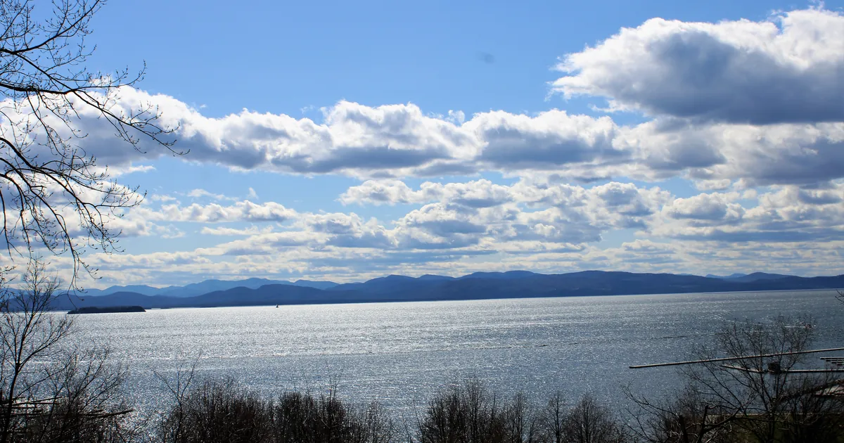
NWS Burlington marks the opposite edge of the same idea. Its advisory carries an ADDITIONAL DETAILS line saying "Areas near and along Lake Champlain, generally within 5 miles, will be less likely to see frost," because a big lake in September is still holding summer's heat. The same discussion expects "Pocket mid to upper 20s" in isolated parts of the northern Adirondacks.
So the map tonight is drawn by three things at once: how cold it gets, what is still growing, and how close you are to water.
Tonight and Thursday, officially
All four products carry identical impact and instruction language: "Frost could harm sensitive outdoor vegetation. Sensitive outdoor plants may be killed if left uncovered," and "Take steps now to protect tender plants from the cold."
NWS Gray expects the high to hold through Thursday, "keeping a seasonably cool and dry airmass in place," with sunny skies and highs in the 60s. NWS Caribou expects a second, patchier round of frost and river valley fog Thursday night, mainly in the north, as cloud increases from the south.
That increasing cloud is the other half of this week. The same NWS Gray discussion reports "No significant changes regarding the possible impacts from the coastal low this weekend, but rain chances have continued to increase," and the office already carries Gale Watches for its coastal waters from Friday afternoon through Sunday evening. The clear night that is making tonight cold is being delivered by the last of the quiet weather.
This is a summary of official warnings, not emergency information. For live warnings see weather.gov and your local officials.
The rock's live forecast for the places in this story
More from the Journal


.jpg)
Follow the Journal: RSS · get it by email