THE WEATHER BEAT · OCT 27
Sandy, fourteen years on: Cape May's 8.9 inches led a run of wettest-day records to Westminster, Maryland
On October 29 and 30, 2012, as Sandy came ashore in New Jersey, fifteen gauges from Cape May to Westminster set wettest-day records, and Davis, West.

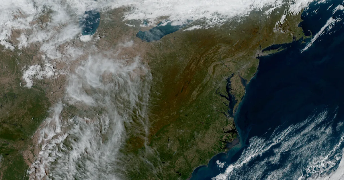
Key points
- Fourteen years ago this week, on October 29 and 30, 2012, fifteen gauges from the Outer Banks to central Pennsylvania each recorded their wettest day in our NOAA station archive. The highest was the Cape May gauge near West Cape May, New Jersey, at 8.9 inches.
- Those were the days of Sandy. The National Weather Service's own assessment says Sandy made landfall along the southern New Jersey shore on October 29, 2012.
- On October 30 the Maryland gauges at Westminster (6.6 inches) and Keyser (6.5 inches) set their records. In the West Virginia mountains, the gauge near Davis recorded 22.9 inches of snow, the snowiest day it has on record with us.
On October 29, 2012, the gauge just northwest of Cape May caught 8.9 inches of rain. That is the wettest day it has in the record we keep for West Cape May, New Jersey. It was not the only one. Down the coast at Manteo, North Carolina, the airport gauge measured 7.1 inches that same day. Inland, the Maryland Science Center gauge in Baltimore measured 6.1 inches and the gauge near Damascus, Maryland measured 5.4 inches.
Those two days have a name. The National Weather Service's service assessment of "Hurricane/Post-Tropical Cyclone Sandy" says the storm made "landfall along the southern New Jersey shore on October 29, 2012," near Brigantine. It also says Sandy's "historically unprecedented track approached New Jersey and New York from the east; storms typically approach from the south." That is what the Weather Service says about the storm. Our archive has only the gauges.
The next day, October 30, the records moved inland and west. Westminster, Maryland measured 6.6 inches, and the Keyser gauge on the Maryland and West Virginia line measured 6.5 inches. Callimont, Pennsylvania and Mount Airy, Maryland each measured 5.8 inches. Then come Reisterstown at 5.6, Severn at 5.5, Layhill at 5.4, Sykesville at 5.3 and Hagerstown at 5.0. Near Stephens City, Virginia, the gauge measured 4.1 inches. The gauge outside State College near Lemont, Pennsylvania measured 3.9 inches.
One record on October 30 was not rain. At the gauge three miles southeast of Davis, West Virginia, 22.9 inches of snow fell in a single day. Our archive does not say why rain fell on Cape May while snow fell on Davis the next day, and this story does not either.
| Date | Town | Gauge | Record |
|---|---|---|---|
| Oct 29, 2012 | West Cape May NJ | Cape May 2 NW | 8.9 in, wettest day |
| Oct 29, 2012 | Manteo NC | Manteo Ap | 7.1 in, wettest day |
| Oct 29, 2012 | Baltimore MD | Maryland Sci Ctr | 6.1 in, wettest day |
| Oct 29, 2012 | Damascus MD | Damascus 3 SSW | 5.4 in, wettest day |
| Oct 30, 2012 | Davis WV | Davis 3 SE | 22.9 in, snowiest day |
| Oct 30, 2012 | Westminster MD | Westminster 1.0 W | 6.6 in, wettest day |
| Oct 30, 2012 | Keyser WV | Keyser 2 SSW | 6.5 in, wettest day |
| Oct 30, 2012 | Callimont PA | Glencoe | 5.8 in, wettest day |
| Oct 30, 2012 | Mount Airy MD | Mount Airy 0.2 SE | 5.8 in, wettest day |
| Oct 30, 2012 | Reisterstown MD | Sykesville 2.6 SE | 5.6 in, wettest day |
| Oct 30, 2012 | Severn MD | Severn 2.0 W | 5.5 in, wettest day |
| Oct 30, 2012 | Layhill MD | Colesville 1.7 W | 5.4 in, wettest day |
| Oct 30, 2012 | Sykesville MD | Sykesville 1.7 SSE | 5.3 in, wettest day |
| Oct 30, 2012 | Hagerstown MD | Hagerstown 1.0 ENE | 5.0 in, wettest day |
| Oct 30, 2012 | Stephens City VA | Stephens City 2.2 E | 4.1 in, wettest day |
| Oct 30, 2012 | Lemont PA | State College 2.4 ENE | 3.9 in, wettest day |
*Source: myweatherrock's archive of NOAA daily station records (GHCN-Daily). Each gauge's station ID is listed in this story's source record. Event description: NWS Service Assessment, Hurricane/Post-Tropical Cyclone Sandy.*
Look down the table and follow the dates. The October 29 records sit near the coast, and the October 30 records sit farther inland. Which way do you think the heaviest rain was moving?
This is a look back at a historic weather day, not emergency information. For current conditions and warnings see weather.gov and your local officials.
The rock's live forecast for the places in this story
More from the Weather Beat
More from the Journal

Follow the Journal: RSS · get it by email